


|
|
|
|
|
|
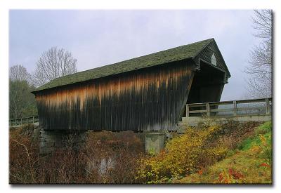
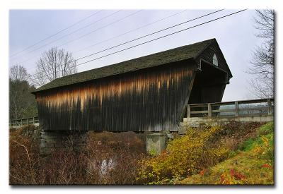
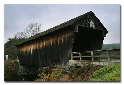
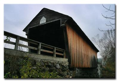
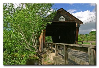
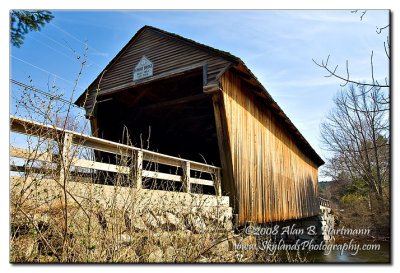
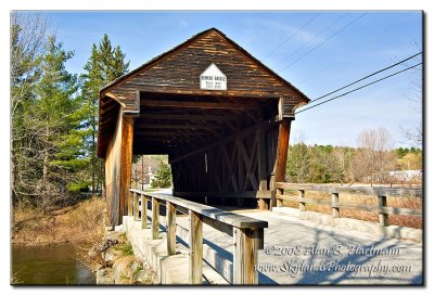
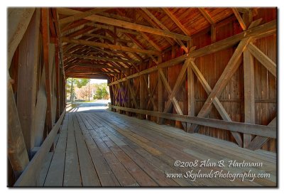
| Alan Hartmann | profile | all galleries >> Covered Bridges >> Covered Bridges of New Hampshire >> 29-07-03 Merrimack County, Bement CB | tree view | thumbnails | slideshow | map |
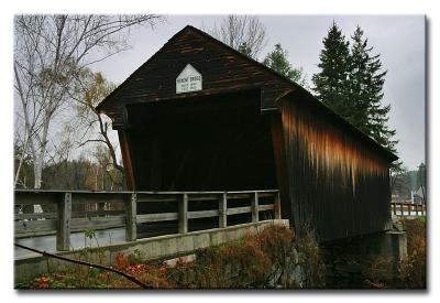
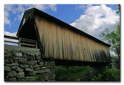
 CRW_7199 |
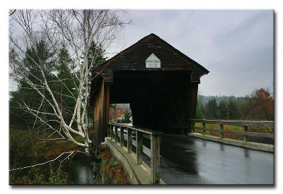
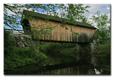
 CRW_7201 |
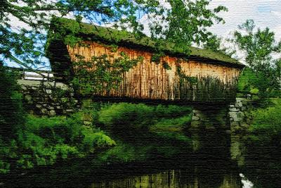
 CRW_7203 |
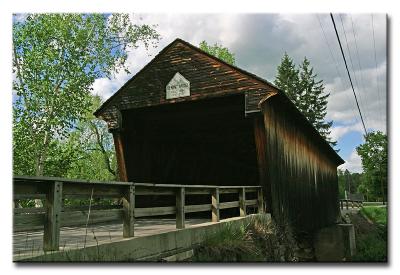
 CRW_7208 |
 CRW_7210 |
 CRW_7211 |
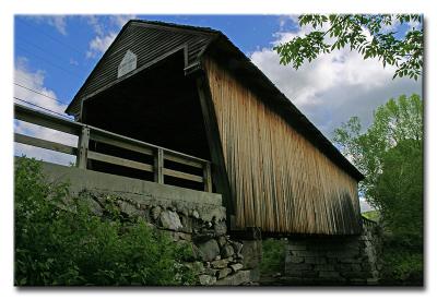 CRW_300174 |
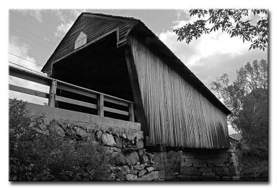 CRW_300174 B&W |
 CRW_300176 |
 CRW_300178 |
 CRW_300178 Hayes Island |
 CRW_300179 |
 CRW_300182 |
 SKY_2932.jpg |
 SKY_2936.jpg |
 SKY_2942.jpg |
| comment | share |