


|
|
|
|
|
|
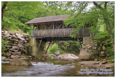
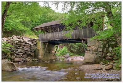
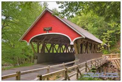
| Alan Hartmann | profile | all galleries >> Covered Bridges >> Covered Bridges of New Hampshire >> 29-05-05 Grafton County, Flume Gorge CB | tree view | thumbnails | slideshow | map |
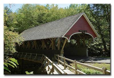 CRW_0260L |
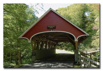 CRW_0264L |
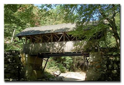
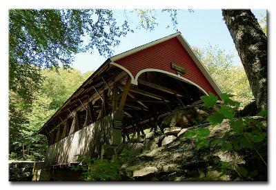 #0265 -- Flume Gorge Bridge 1871 |
 CRW_0272L |
 SKY29415.jpg |
 SKY29418.jpg |
 SKY29422.jpg |
| comment | share |