


|
|
|
|
|
|
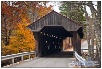
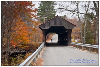
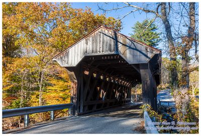
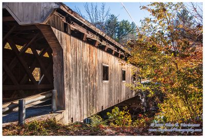
| Alan Hartmann | profile | all galleries >> Covered Bridges >> Covered Bridges of New Hampshire >> 29-07-04 Merrimack County, Waterloo CB | tree view | thumbnails | slideshow | map |
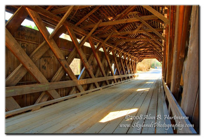
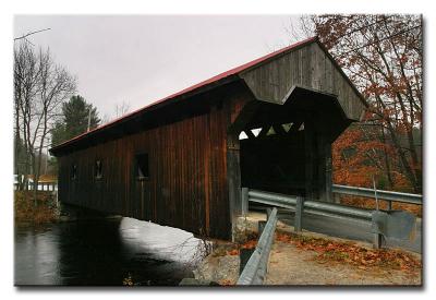 CRW_7215 |
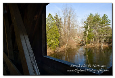
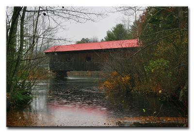 CRW_7221 |
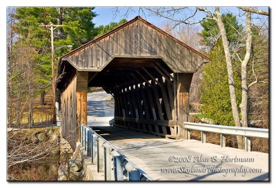
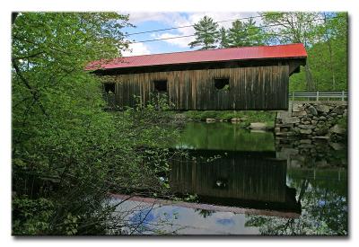 CRW_0187 |
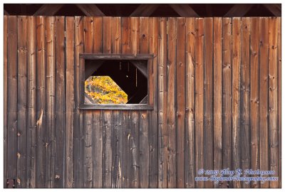
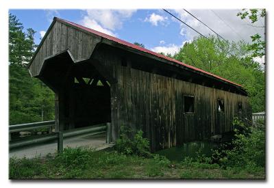 CRW_0192 |
 CRW_0199 |
 SKY_2947.jpg |
 SKY_2951.jpg |
 SKY_2953.jpg |
 SKY_2954.jpg |
 SKY_2961.jpg |
 SKY_2968.jpg |
 IMG_3357.jpg |
 IMG_3365.jpg |
 IMG_3368.jpg |
 IMG_3370.jpg |
 SKY30361-HDR-Edit.jpg |
 SKY30364-HDR.jpg |
 SKY30371.jpg |
| comment | share |