photo sharing and upload picture albums photo forums search pictures popular photos photography help login
Type your message and click Add Comment
It is best to login or register first but you may post as a guest.
Enter an optional name and contact email address. Name
Name Email
help private comment
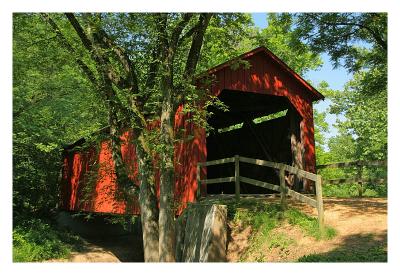
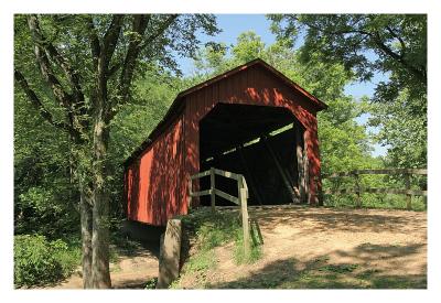
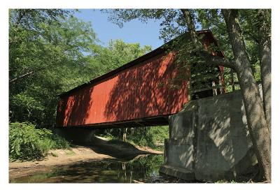
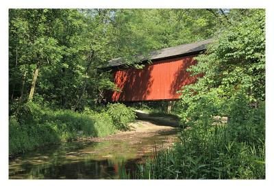
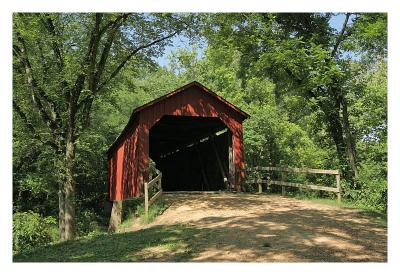
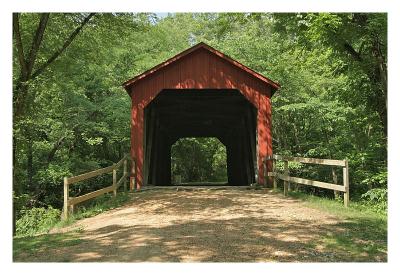
Alan Hartmann | profile | all galleries >> Covered Bridges >> Covered Bridges of Missouri >> 25-50-01 Sandy Creek Covered Bridge tree view | thumbnails | slideshow | map

25-50-01 Sandy Creek Covered Bridge

This bridge is located in Sandy Creek Covered Bridge State Historical Site, at the end of Old Lemay Ferry Rd, 1/2 mile east of Rt 21 off Goldman Spur Rd.
The bridge spans the Sandy Creek.
N38 17.628 W90 31.563

PBase Maps
[ Yahoo! Maps ]
Old Lemay Ferry Rd., Goldman MO
IMG_1580
IMG_1580
IMG_1584
IMG_1584
IMG_1587
IMG_1587
IMG_1589
IMG_1589
IMG_1591
IMG_1591
IMG_1594
IMG_1594