


|
|
|
|
|
|
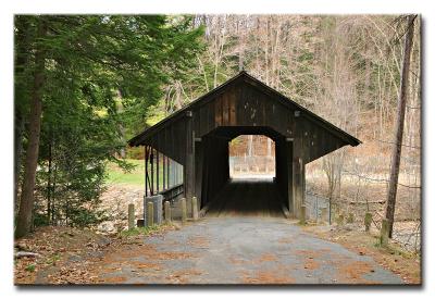
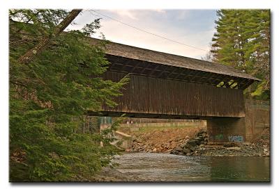
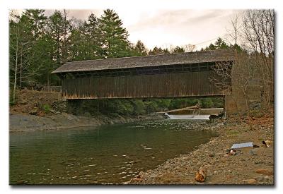
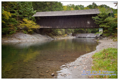
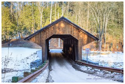
| Alan Hartmann | profile | all galleries >> Covered Bridges >> Covered Bridges of Massachusettes >> 21-06-02 Pumping Station Covered Bridge | tree view | thumbnails | slideshow | map |
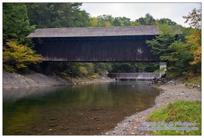
 CRW_1417 |
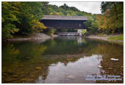
 CRW_1422 |
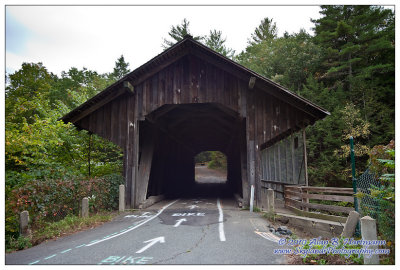
 CRW_1427 |
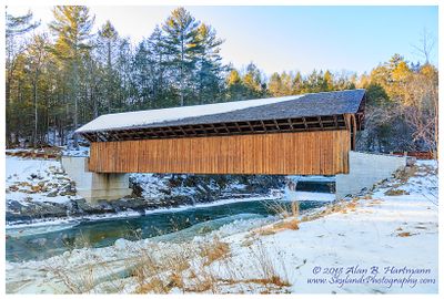
 IMG_3038.jpg |
 IMG_3043.jpg |
 IMG_3045.jpg |
 IMG_3051-Edit.jpg |
 IMG_3055.jpg |
 SKY13749.jpg |
 SKY13755.jpg |
| comment | share |