


|
|
|
|
|
|
| Greg Lief | profile | all galleries >> Waterfalls & Rivers >> Cascadia S.P. | tree view | thumbnails | slideshow |
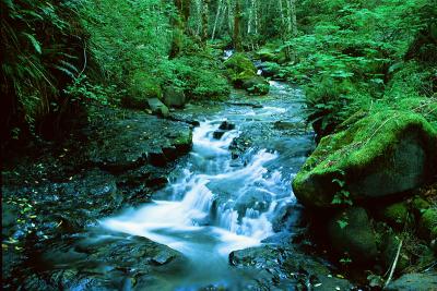 Coal Creek #1 |
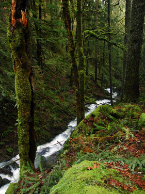
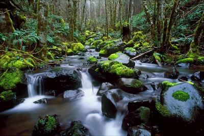 Coal Creek #2 |
 Coal Creek Falls |
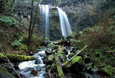
 Lower Soda Falls |
 Lower Soda Falls, winter study |
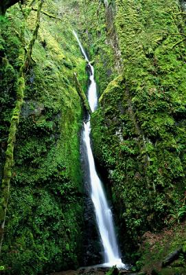
 Rainbow Falls #1 |
 Rainbow Falls #2 |
 Soda Creek study #1 |
 Soda Creek study #2 |
| comment | share |
| Robert Ballard | 18-Jan-2006 23:30 | |