


|
|
|
|
|
|
| Bernie | profile | all galleries >> Oct 2013 Gallery >> Granite Mountain hike | tree view | thumbnails | slideshow |
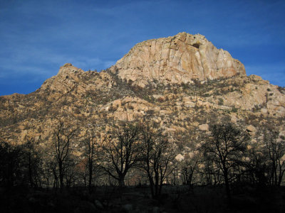
 Trailhead 11am |
 They were in plain daylight and I had a camera |
 Oak leaves |
 Woodpecker hard at work |
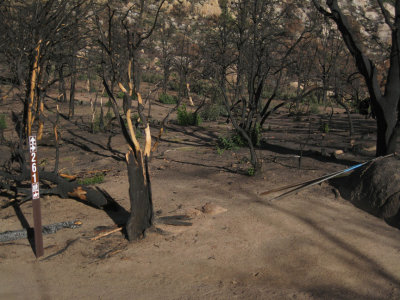
 Doce fire fried every living thing in sight back in mid-June |
 A trail sign that did not escape the wildfire |
 Climbers |
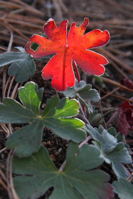
 Lily |
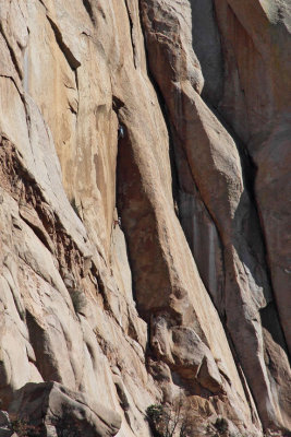
 Seam through granite |
 |
 Odd striations in granite |
 Tree dwellers |
 View east from Granite Mtn overlook |
 Chillin after lunch |
 Small reservoir |
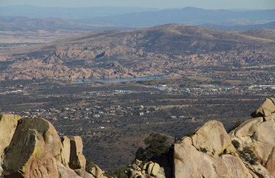 Watson Lake in the distance |
 Looking at the view to the north through the charred forest |
 Northwest view |
 Backlit (Bre's pic) |
 Sundog |
 Remnants of the firefight |
 Burnt tree silouette |
 'Splaining how things did stuff |
 Tiny beetle (attempting to stand on its head) |
 An acre of mudcracks |
 Hiking track courtesy of my Suunto gps |
 Doce-Fire-6-18-2013-AZCentral.jpg |
 Doce fire on satellite map of AZ |
 Satellite photo showing fire-retardent ring of red |
| comment | share |