


|
|
|
|
|
|
| yogib | profile | all galleries >> Galleries >> boone_county_nebraska_plat_maps | tree view | thumbnails | slideshow | map |
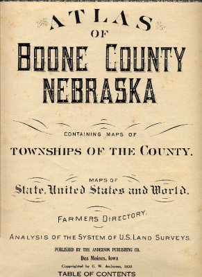 Atlas of Boone County Nebraska |
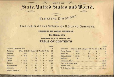 Atlas Table of Contents |
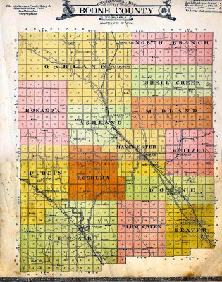 Boone County Townships (Precincts) Map |
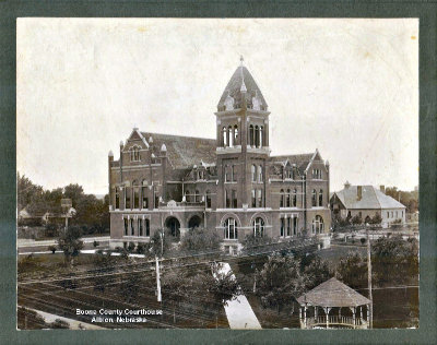 Boone County Courthouse |
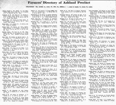 Ashland Township Directory |
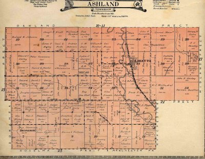 Ashland Township Map |
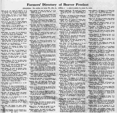 Beaver Township Directory |
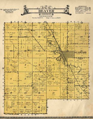 Beaver Township Map |
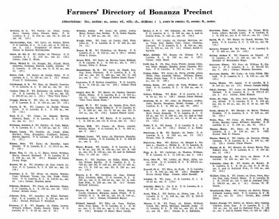 Bonanza Township Directory |
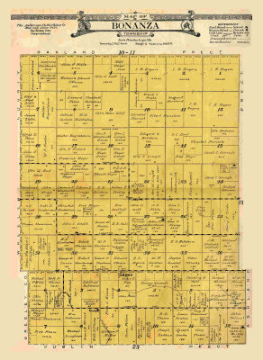 Bonanza Township Map |
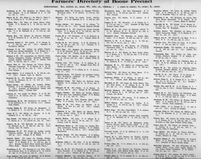 Boone Township Directory |
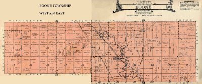 Boone Township Map |
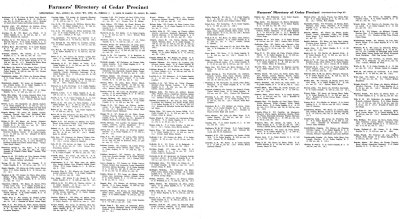 Cedar Township Directory |
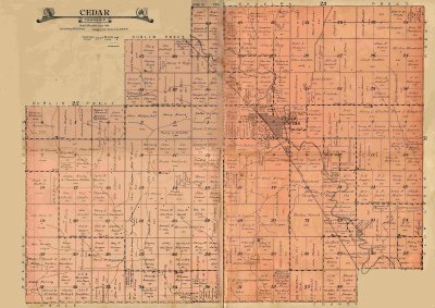 Cedar Township Map |
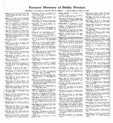 Dublin Township Directory |
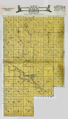 Dublin Township Map |
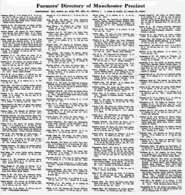 Manchester Township Directory |
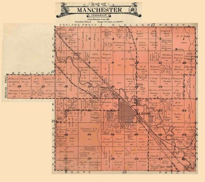 Manchester Township Map |
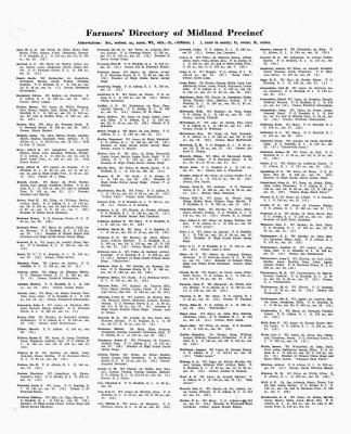 Midland Township Directory |
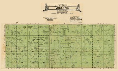 Midland Township Map |
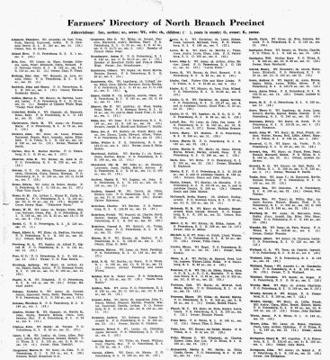 North Branch Township Directory |
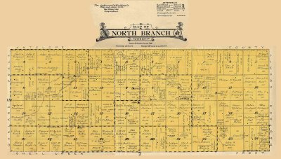 North Branch Township Map |
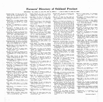 Oakland Township Directory page 1 |
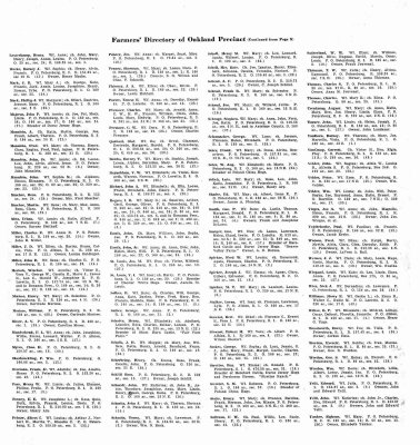 Oakland Township Directory page 2 |
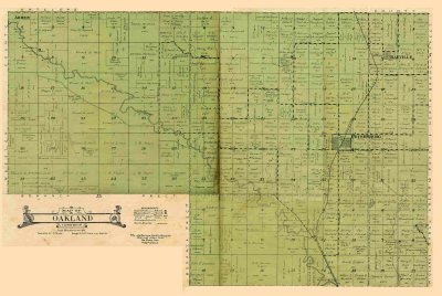 Oakland Township Map |
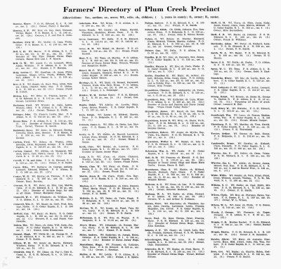 Plum Creek Township Directory |
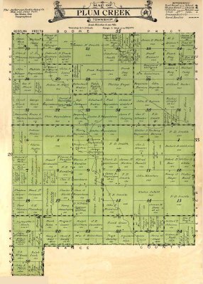 Plum Creek Township Map |
 Roselma Township Directory |
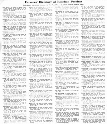
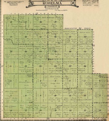 Roselma Township Map |
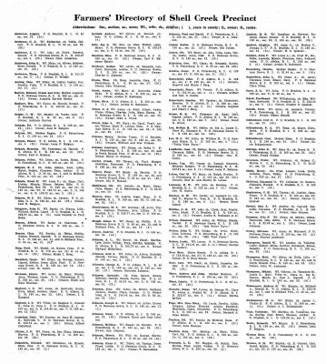 Shell Creek Township Directory |
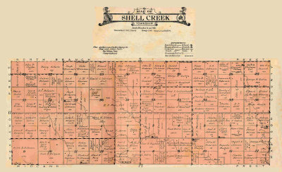 Shell Creek Township Map |
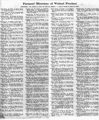 Weitzel Township Directory |
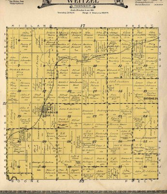 Weitzel Township Map |
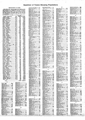 Nebraska State Gazetteer Page 1 |
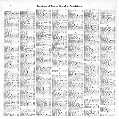 Nebraska State Gazetteer Page 2 |
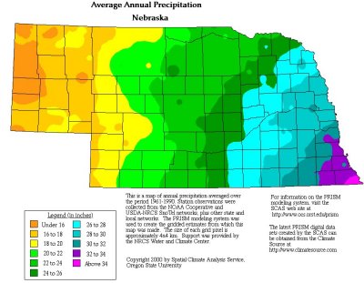
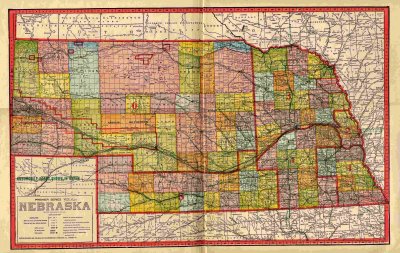 Nebraska Map |
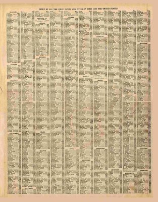 United States Map Index Page 1 |
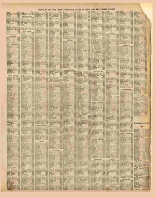 United States Map Index Page 2 |
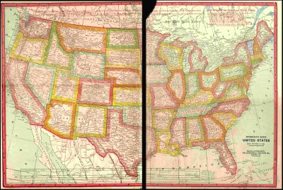 United States Map |
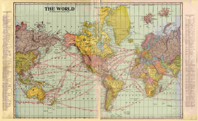 World Map |
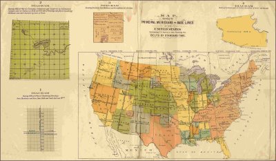 U. S. Survey Map |
other_maps |

harpers_school_geography_1888 |
| comment |