photo sharing and upload picture albums photo forums search pictures popular photos photography help login
William Vogt | profile | all galleries >> Belize, Central America >> The Mayan Ruins tree view | thumbnails | slideshow

Ambergris Caye | Half Moon Caye | The Mayan Ruins | Snapshots, Friends, Etcetera

The Mayan Ruins


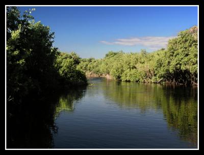
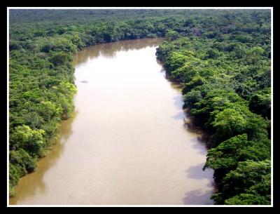
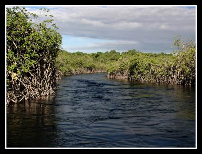
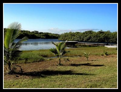
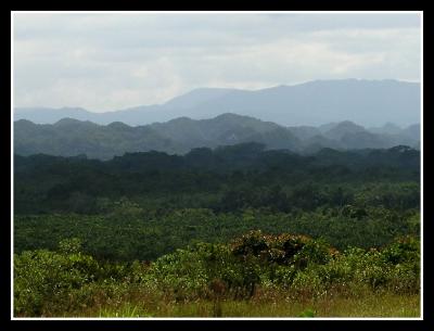
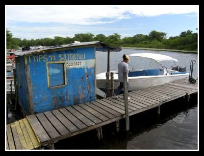
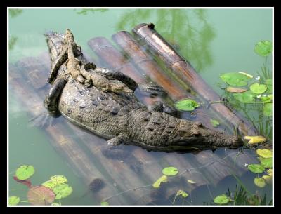
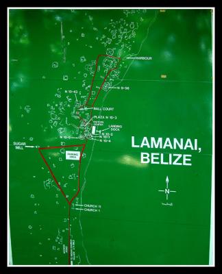
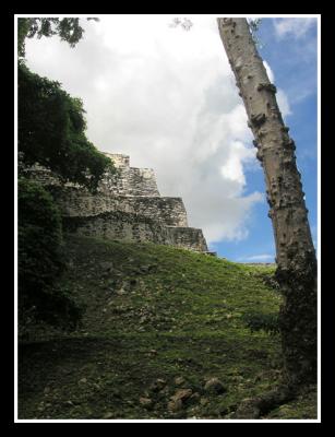
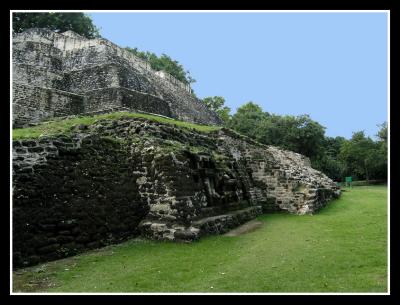
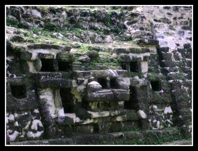
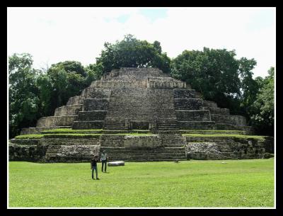
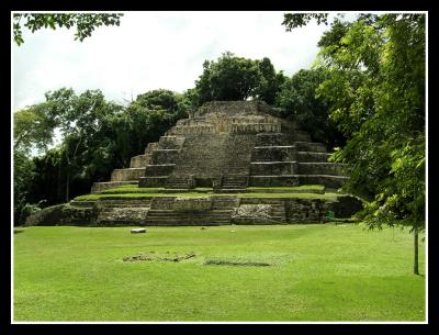
The Mayan ruins of Lamanai (Mayan for “Submerged Crocodile”) are located on the banks
of the 30 mile long New River Lagoon in North Central Belize.

Lamanai is spread across 950 acres, and has one of the longest continuous occupation spans in the Mayan world:
over 3,000 years, from 1,500 B.C. to the 19th century.

Lamanai has 718 mapped structures that lie stretched out along the shore of the New River Lagoon.

It was excavated by David Pendergast of the Royal Ontario Museum beginning in 1974.

Lamanai is set in a tropical forest and provides outstanding views from the largest temple, N10-43.

Lamanai provides a unique experience in the culture of the Maya and the biological diversity of a tropical forest.


previous pagepages 1 2 3 4 ALL next page
u8/wvphoto/medium/37512010.Riverapolar_filteredcopy.jpg u8/wvphoto/medium/37515787.Riverandjunglefromaircopy.jpg u8/wvphoto/medium/37512025.Riverpolar_filteredcopy.jpg u8/wvphoto/medium/37512028.Dockgoingtoruinspolar_filteredcopy.jpg
u8/wvphoto/medium/37512031.Dockgoingtoruinswithbpolar_filteredcopy.jpg u8/wvphoto/medium/37512235.Maninhammockcopy.jpg u8/wvphoto/medium/37512237.Housecopy.jpg u8/wvphoto/medium/37512315.MayaMountainsa_filteredcopy.jpg
u8/wvphoto/medium/37514094.Mayanguideandboatatdockcopy.jpg u8/wvphoto/medium/37515275.Crocodileonraftcopy.jpg u8/wvphoto/medium/37517861.Lamanaimapcopy.jpg u8/wvphoto/medium/37512363.Masktempleapproachcopy.jpg
u8/wvphoto/medium/37512368.Masktemplecopy.jpg u8/wvphoto/medium/37512379.Masktemplejaguarfacecopy.jpg u8/wvphoto/medium/37512388.Masktempleacopy.jpg u8/wvphoto/medium/37512374.Masktemplebcopy.jpg
previous pagepages 1 2 3 4 ALL next page