photo sharing and upload picture albums photo forums search pictures popular photos photography help login
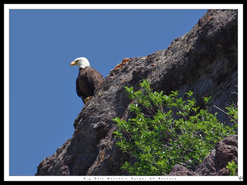
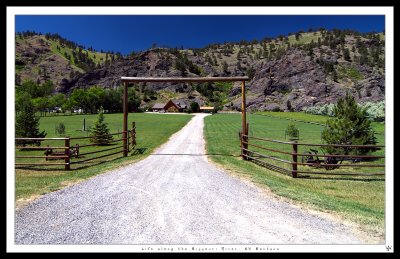
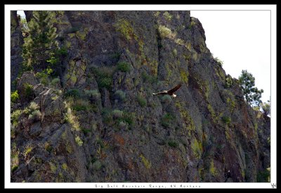
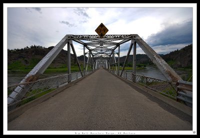
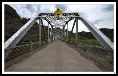
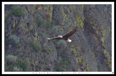
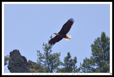
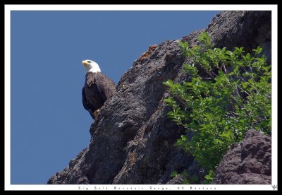
wjwncpro | profile | all galleries >> Recent Pics >> Great Falls Montana Vacation Guide >> Big Belt Mountain Range, NW Montana tree view | thumbnails | slideshow

Big Belt Mountain Range, NW Montana


The Big Belt Mountains are a section of the Rocky Mountains in the U.S. state of Montana. Situated mainly in the Helena National Forest, the mountains are used for logging and recreation for the surrounding residents. Nearby is Helena, Montana, Canyon Ferry Lake, the Missouri River, Townsend, Montana, and White Sulphur Springs, Montana. The highest point in the Big Belt Range is Mount Edith at 9,504 feet
The Canyons of the Big Belt Mountain Range is located approximately 35 miles south of Great Falls Montana as you head south on I-15. As you drive south into the range you go through the canyons along The Great Missouri River which cuts through the middle of the Big Belt range.
K5__5524w1200.jpg
K5__5524w1200.jpg
K5_5410-1-2-3-4CS5-HDRw1200.jpg
K5__5548w1200Full.jpg
K5__5740_1_2_3_4CS5-HDRw1200.jpg
K5__5735_6_7_8_9CS5-HDRw1200.jpg
K5__5548w1200.jpg
K5__5548w1200.jpg
K5__5549pc_w1200.jpg
K5__5526w1200.jpg
K5__5526w1200.jpg