I had been to Maidenhair Falls a couple of times before, but didn't have any directions posted on my site because the falls is on private property. I hadn't seen any no trespassing signs and I know other people that had been with no problems. One of these folks posted in a forum that there are now signs and trail markers and the public is welcome. So here are the directions...
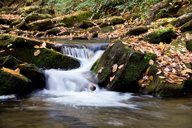
From the stop light in the center of town in Brevard, drive south on Hwy 276 for 2.3 miles and turn left on Becky Mountain Rd. Pass the immediate left turn for Rich Mountain Rd and pull off on the left just before the entrance to the church up on the hill. Walk up Becky Mountain Rd passing Mill Cove Rd on the left. This was the old way to the falls. Continue walking up Becky Mountain Rd to Reeves Rd on the left. Do not drive down here as there is no place to park. This is all private property. Walk up Reeves Rd a short distance until the road narrows to a lane. Continue walking up the lane to the yellow sign for the falls at anti-cattle gate. Enter the pasture with the cattle and walk up the fence line, over the small footbridge, and up to the next anti-cattle gate to exit the pasture. Continue up the trail along the fence line - the trail will turn into an old road. The trail continues with Hogshed Creek on the left and will eventually come down to the creek and cross it on a new footbridge where I took this picture. Continue up the left side of the creek for another 5 minutes to the falls. Total hike time one way is about 30 minutes.