


|
|
|
|
|
|
| Chris Bycroft | profile | all galleries >> John Muir Trail 2010 >> Part 6: Golden Gate of the Sierra to Bighorn Plateau | tree view | thumbnails | slideshow | map |
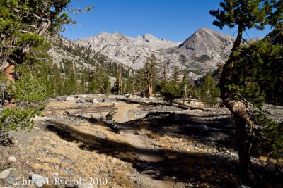 Day 18: Heading up South Fork Woods Creek, lots of foxtail pines |
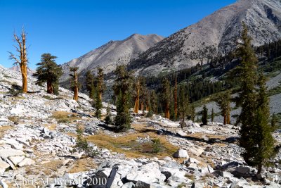 Foxtail pines, South Fork Woods Creek |
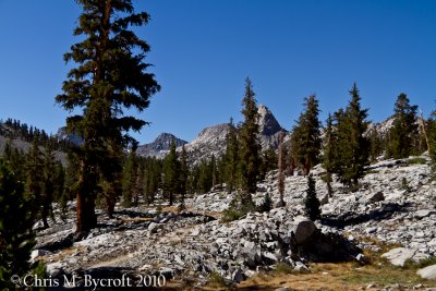 Foxtail pines, blocking the view of Fin Dome |
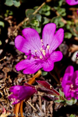
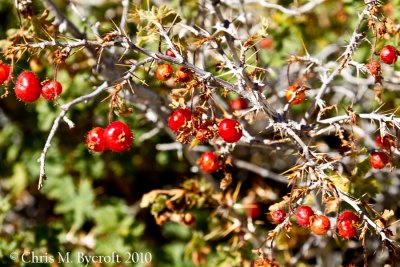 Red currents |
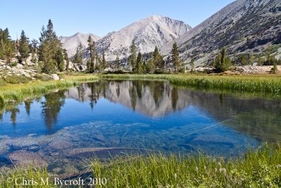
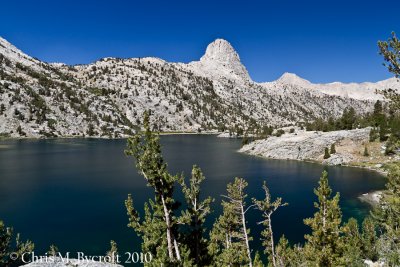
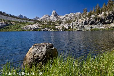 Dollar Lake, Fin Dome behind |
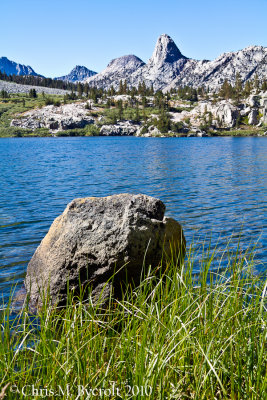 Dollar Lake, Fin Dome behind |
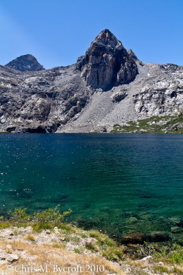
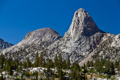 Fin Dome, from Dollar Lake |
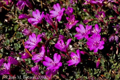
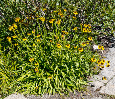 Bigelow's sneezeweed |
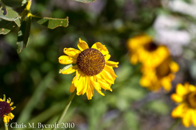 Bigelow's sneezeweed |
 Sedges, reflections, Arrowhead Lake |
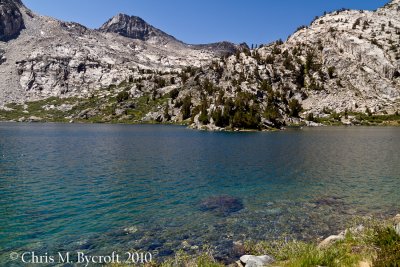
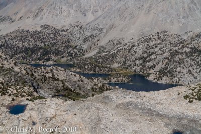
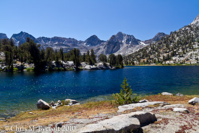 Rae Lakes, view south from northern end. |
 Painted Lady, from Lower Rae Lake |
 View back to Fin Dome, Over Rae Lakes |
 The Painted Lady, from Upper Rae Lake |
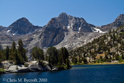
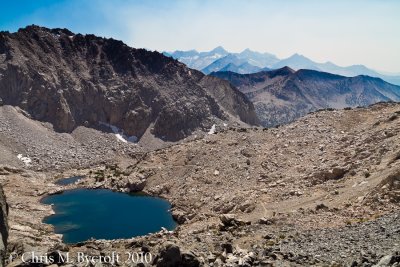
 Upper Rae Lake, the way ahead to Glen Pass |
 Rock fringe |
 Rock fringe |
 Painted Lady, half way up to Glen Pass |
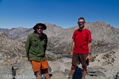 Me and Roy on Glen Pass - view north |
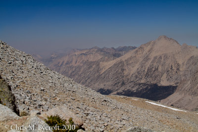
 The smokey skies arriving, view south |
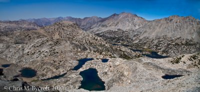 Lots of lakes, view south from Glen Pass |
 Painted Lady, from Glen Pass |
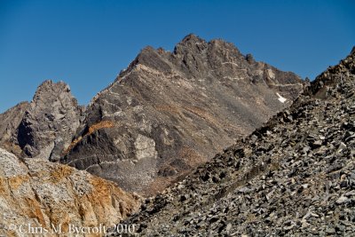
 Mountains to the south of Glen Pass |
 Last view of Rae Lakes |
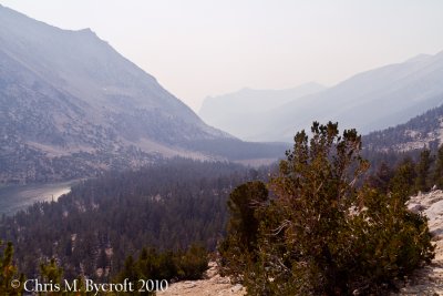 Thick smoke above Charlotte Lake |
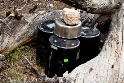 Nightly bear canister setup |
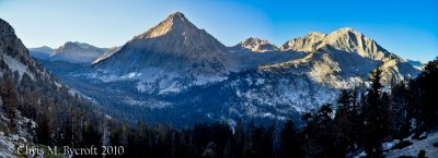
 Sunset through foxtail pines over East Vidette |
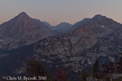
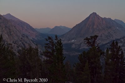 View up Bubbs Creek; University Peak, Center Peak, and East Vidette |
 East Vidette, Deerhorn Mountain, West Vidette |
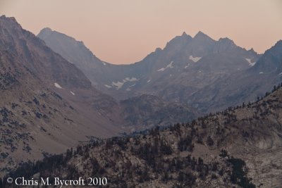 Towards Deerhorn Mountain |
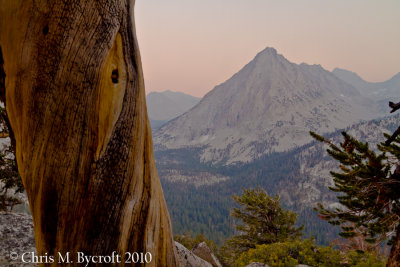 Foxtail pine, East Vidette behind |
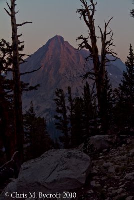
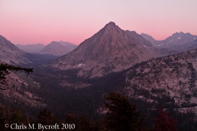 Alpenglow, Center Peak and East Vidette |
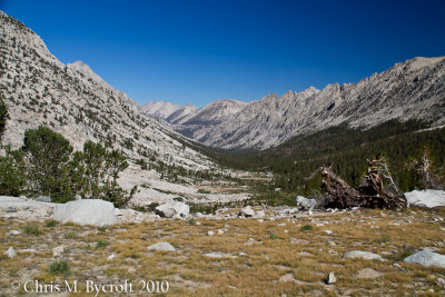
 Day 19: On way down to Vidette Meadows. Bubbs Creek Valley ahead. |
 Bubbs Creek Valley - view back on way to Forester Pass. Kearsarge Pinnacles on True Right hand side of Valley. |
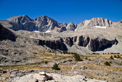 Mountains of the Kings Kern Divide. Mt Stanford on way up to Forester Pass |
Panorama on way up to Forester Pass (SCROLL to right to see all the photo) |
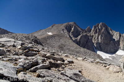 Way to Forester Pass, Gregorys Monument and Stanford Peak to the right |
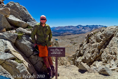 Me at Forester Pass, Kern Catchment beyond |
 View south from Forester Pass. Kaweah Peaks on the right skyline. |
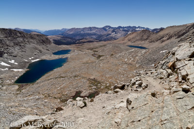
 The view north form Forester Pass |
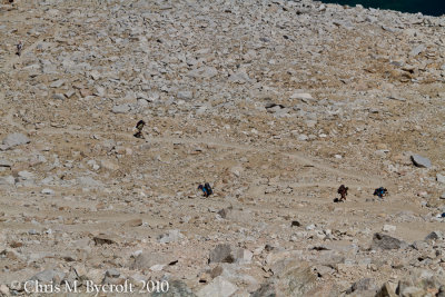 A crowd arriving from the north, including a bunch of California Conservation Corps doing track work |
 The smoke arriving from the northwest, Forester Pass |
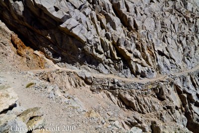 They can blast tracks through anything around here (view map below to see track on aerial image) |
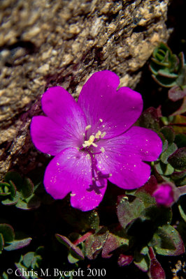 Rock fringe |
 View back to Forester Pass, somewhere |
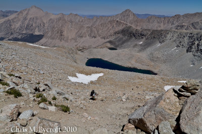
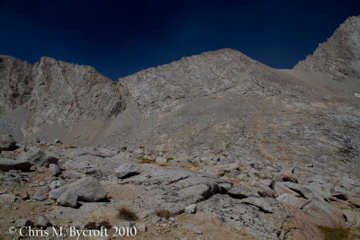
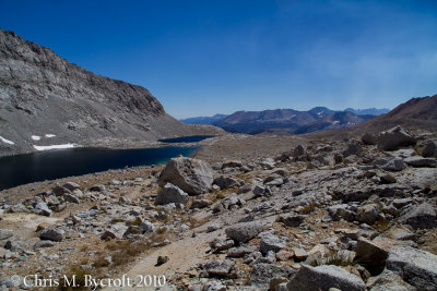 Alpine basin, south of Forester Pass |
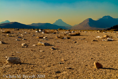
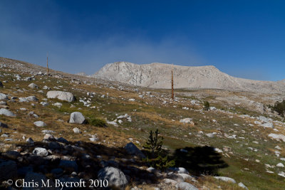 Tundra,Tyndall Creek basin. Diamond Mesa behind. Smoke arriving from west. |
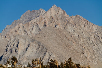
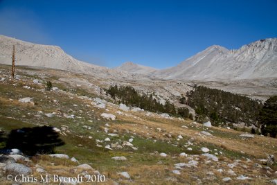 Towards Shepherd Pass and Mt Tyndall |
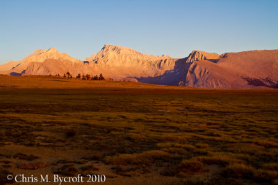
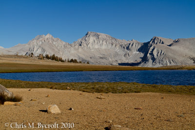 First view of Mt Whitney from tarn on Bighorn Plateau |
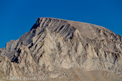 Zoom in of Mt Whitney from Bighorn Plateau |
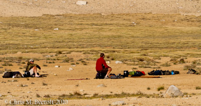 Bob and Roy checking out the scenery of Bighorn Plateau |
 Mt. Russell, from Bighorn Plateau. Foxtail pines at bottom of photo. |
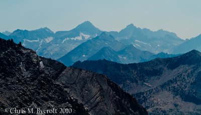
 Smokey skies from out west. Mountains of the Great Western Divide. |
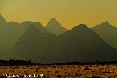 Smokey skies on the mountains of the Great Western Divide |
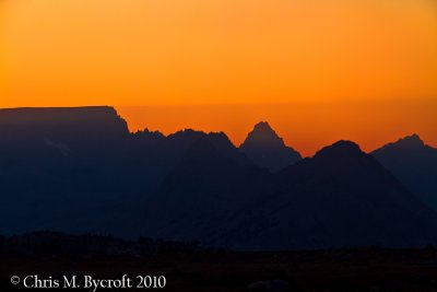
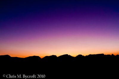
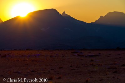 Sunsetting |
 Sunsetting |
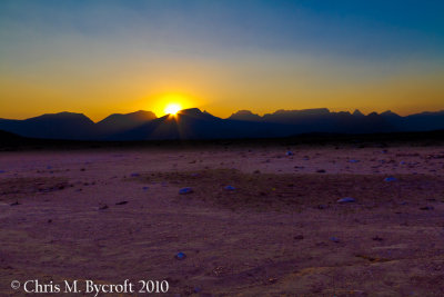
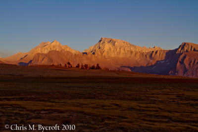
 Sunlight leaving Bighorn Plateau, Mt Whitney et al. beyond |
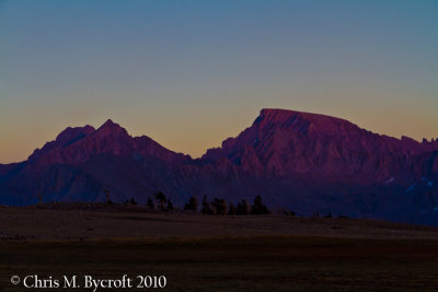
 More dramitic sunset light on Mt. Russell and Mt. Whitney |
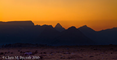 Mountain sunset shadow, over the mountains of the Great Western Divide |
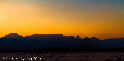 Sunset Shadow, Mountains of the Great Western Divide |
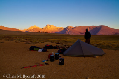 Campsite and evening sunset light |
 Sunset Shadow, Mountains of the Great Western Divide |
 Alpenglow beyond Mt. Russell and Mt. Whitney, this is the red sky almost directly opposite the sunset. |
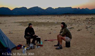 Roy and Bob at Bighorn Plateau |
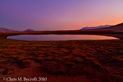 Alpenglow, Bighorn Plateau |
 Sunset over the Great Western Divide |
| comment | share |