


|
|
|
|
|
|
| Chris Bycroft | profile | all galleries >> John Muir Trail 2010 >> Part 5: Golden Staircase to Golden Gate of the Sierra | tree view | thumbnails | slideshow | map |
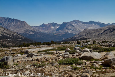
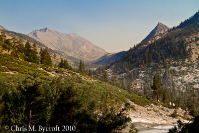
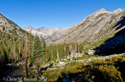 Palisade Creek Valley, below the Golden Staircase |
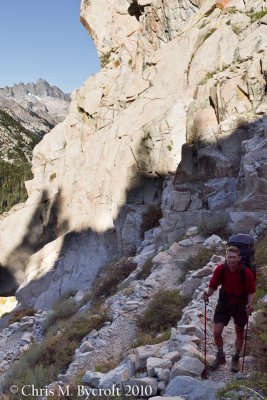 Roy on the Golden Staircase switchbacks |
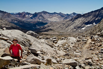
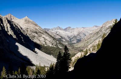 View down Palisade Creek toward the mountains of the Black Divide |
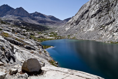
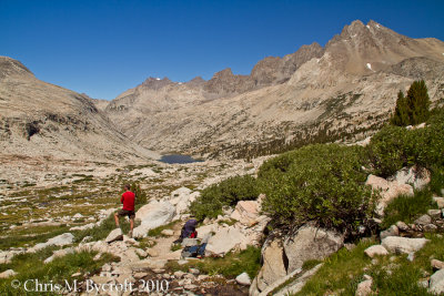
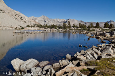
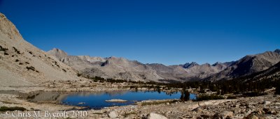
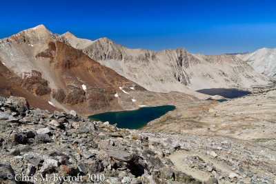
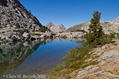 Lower Palisade Lake |
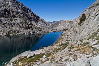
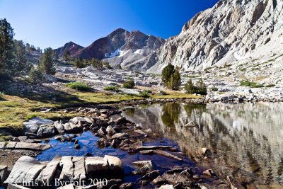
 Lower Palisade Lake, Mather Pass beyond |
 Lower Palisade Lake, looking back |
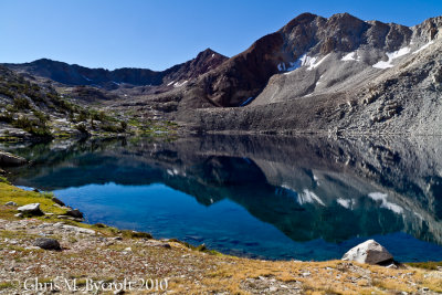
 Upper Palisade Lake, Lower Palisade Lake beyond and Moon |
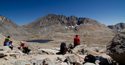
 Roy and Palisade Lakes |
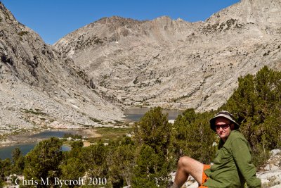 Me and Palisade Lakes |
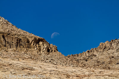 Moon over mountains on western side of Palisade Valley |
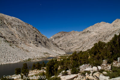
 View back to Palisade Lakes and the Palisade Peaks behind and to right |
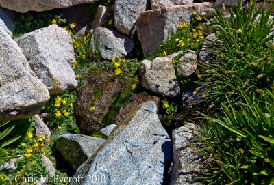 Seep-spring monkeyflower habitat |
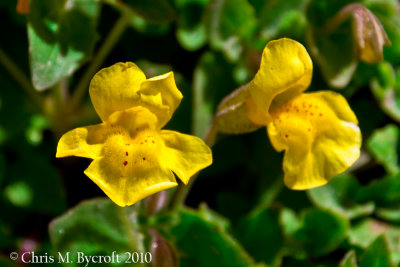 Seep-spring monkeyflower |
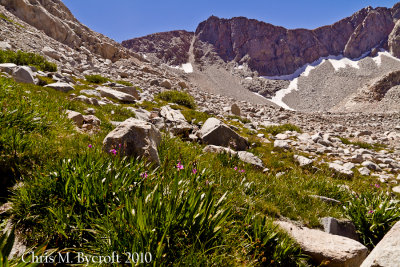 Mountaineer shooting-star habitat |
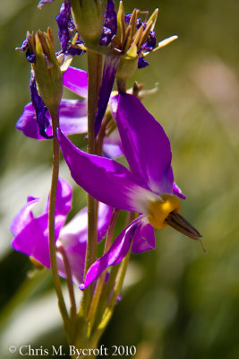 Mountaineer shooting-star flowers |
 Mountaineer shooting star flower |
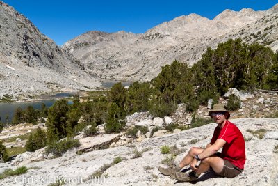
 Roy, looking at view towards Palisade Lakes and Palisade Peaks |
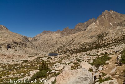
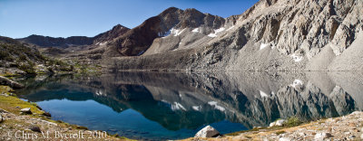
 Palisade Lakes and Palisade Peaks |
 Palisade Lakes and Palisade Peaks from Mather Pass |
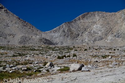
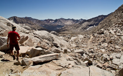 First view over Mather Pass |
 Roy, Mather Pass |
 A crowd of three others on Mather Pass, Split Mountain behind |
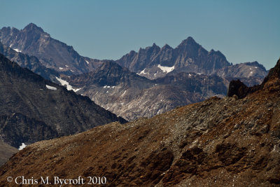
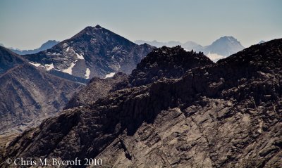 Mountains to South from Mather Pass |
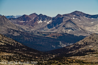 Towards Pinchot Pass from Mather Pass. Lake Marjorie can also be seen below Pinchot Pass |
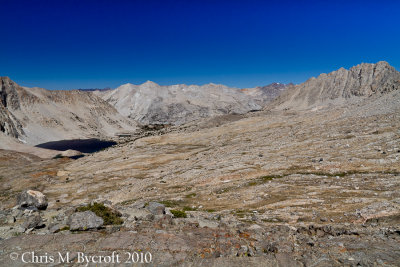
 Open upper basin north of Mather Pass, Pinchot Pass in distance |
 Mather Pass, from the north |
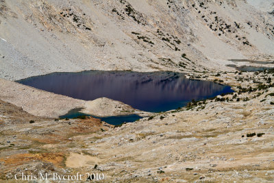
 Unnamed lake north of Marjorie Lake |
 Lake below Lake Marjorie, towards Pinchot Pass and Mt Ickes |
 Unnamed Lake and mountains on skyline surrounding Mather Pass |
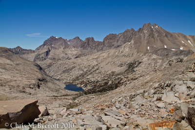
 Marjorie Lake, Pinchot Pass and Mt Ickes behind |
 Lake Marjorie, wider view |
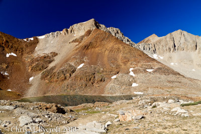 Lake above Lake Marjorie, orange metamorphic rock |
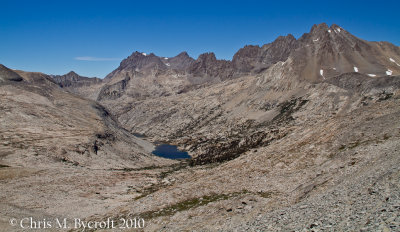
 Lakes to north of Pinchot Pass, including Lake Marjorie |
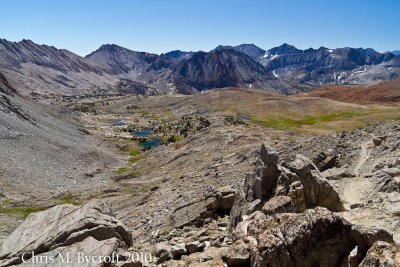
 View North, towards Mt Ruskin, Mather Pass, and The Palisades. |
 Marjorie Lake from Pinchot Pass |
 The path ahead, from Pinchot Pass |
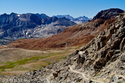
 South of Pinchot Pass, the upper basin |
 Mountain scenes to south from Pinchot Pass |
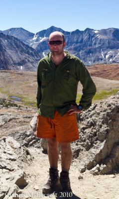 Me at Pinchot Pass |
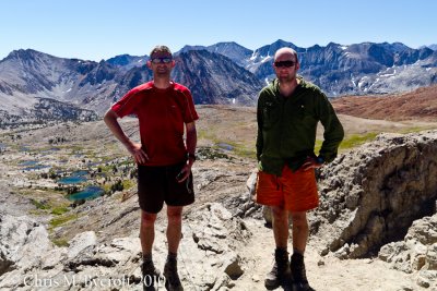 Roy and me at Pinchot Pass |
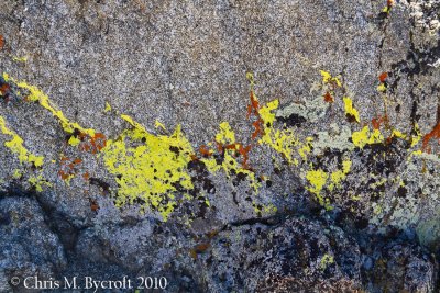 Lichens, Pinchot Pass |
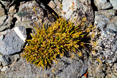 Club-moss ivesia |
 Alpine basins north of Pinchot Pass |
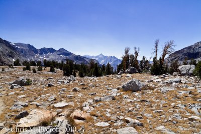
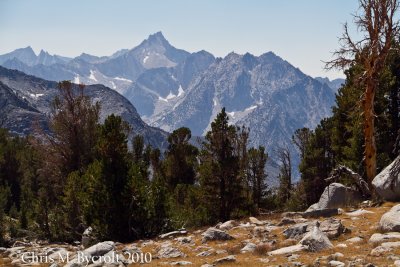 Foxtail pines and mountain scenery |
 Woods Creek Valley, view up South Branch |
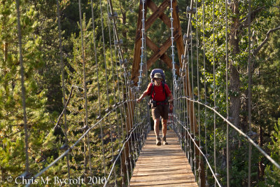 Roy crossing Woods Creek Junction bridge. The Golden Gate of the Sierra. |
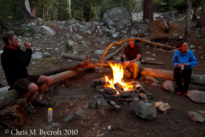 Making use of a campsite fire by other trampers |
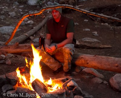 Another tramper (hiker) cooking trout over fire |
| comment | share |