


|
|
|
|
|
|
| Chris Bycroft | profile | all galleries >> John Muir Trail 2010 >> Part 4: VVR to the base of the Golden Staircase | tree view | thumbnails | slideshow | map |
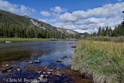
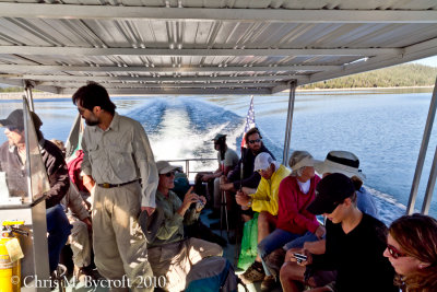 Lake Thomas A. Edison Ferry |
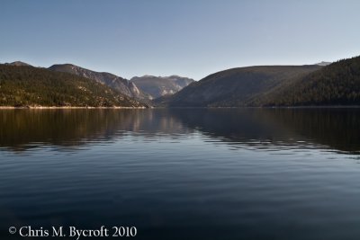 Lake Thomas A. Edison from the ferry |
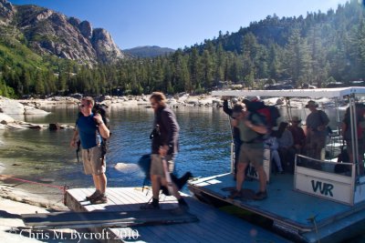 Disembarking the Lake Thomas A. Edison Ferry |
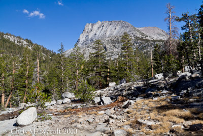
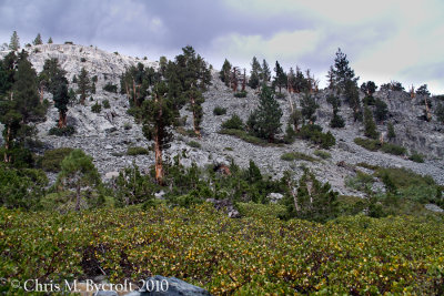
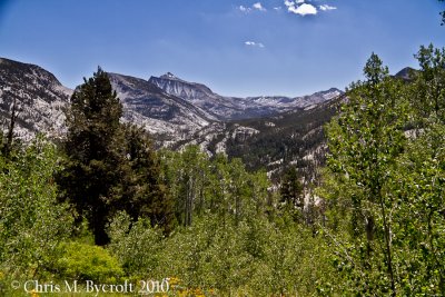 Quaking aspen and the Seven Gabels |
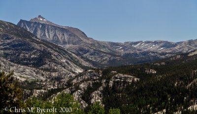 View up Bear Creek Catchment towards Seven Gables and Seldon Pass |
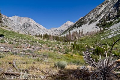
 Bear Creek Catchment Scenery |
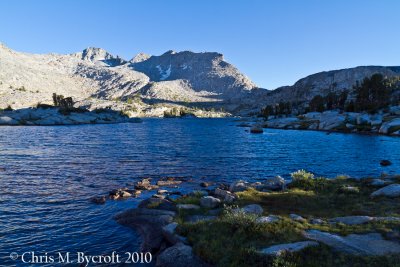
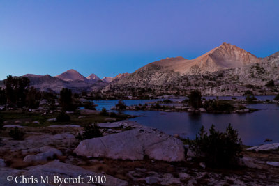
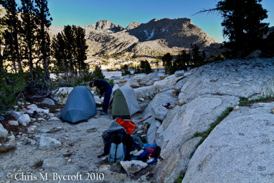 Campsite at Marie Lake |
 Marie Lake mountain scenery including Mt. Gabb. |
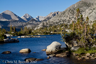
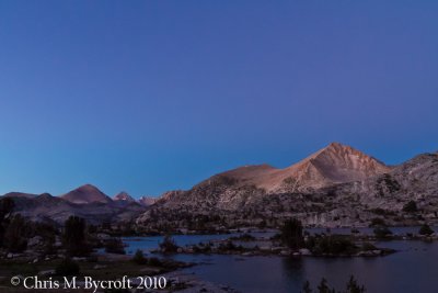
 Marie Lake, towards Seldon Pass on skyline |
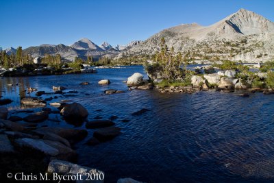
 Marie Lake, Mountain Scenery |
 Islands of Marie Lake |
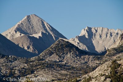 Possibly Mt Gabb from Marie Lake |
 Sunset lighting on Mt. Hilgard, Mt. Gabb and other mountains from Marie Lake |
 Amazing sky at dusk, Marie Lake |
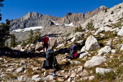
 Day 13: South side of Seldon Pass |
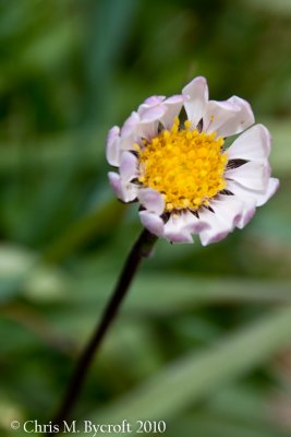
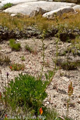
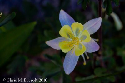 Probably Sierra Columbine |
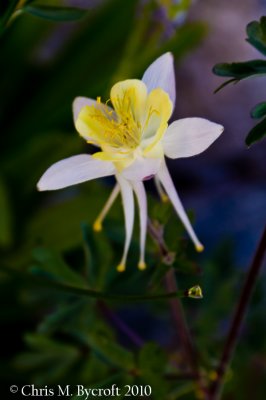 A columbine, most probably Sierra columbine |
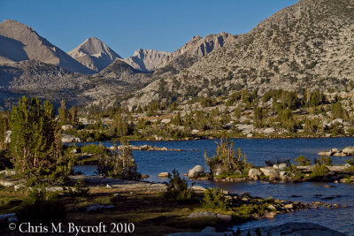
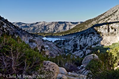
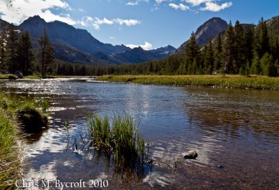
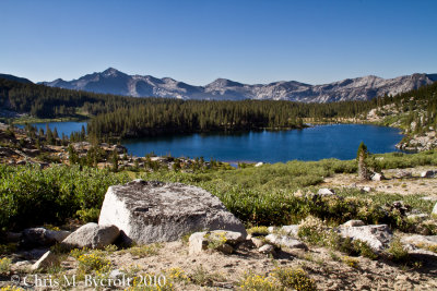 Sallie Keyes Lakes |
 A big gap between photos: Piute Creek Crosing |
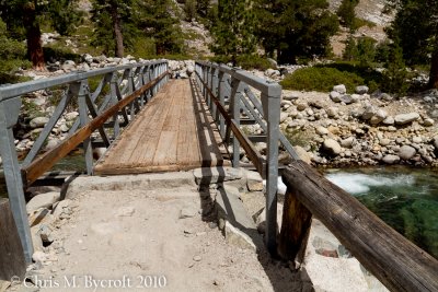 Bridge at Piute Creek Crossing |
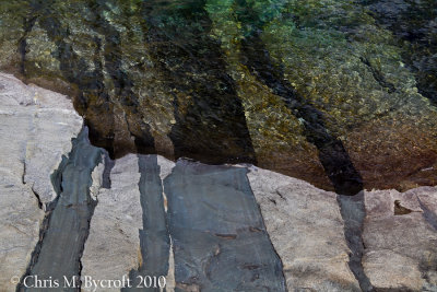 Layers |
 Western juniper, and its cones |
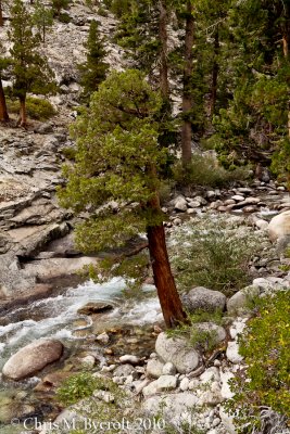 Western Juniper alongside Piute Creek, Piute Creek crossing |
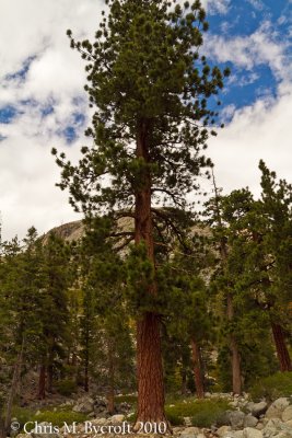 Jeffrey pine at Piute Creek Crossing |
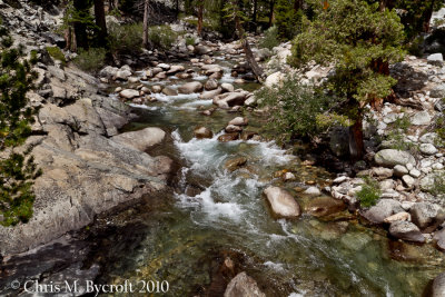
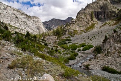 Heading up South Fork of San Joaquin River |
 Scattered Jeffrey pines on canyon walls, manzanita shrubs in foreground |
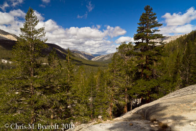
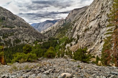 Looking down South Fork of San Joaquin Valley, from switchbacks up to Evolution Valley |
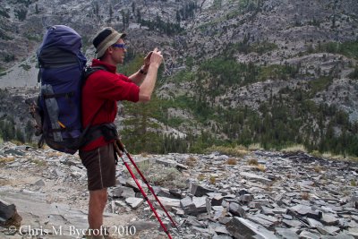 Roy taking photo - similar to previous scene |
 McClure Meadow in Evolution Valley. Main peaks are Mt Mendel (left) and The Hermit to the right. |
 Downstream Evolution Creek, from McClure Meadow |
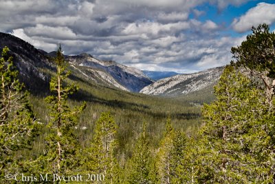
 View down Evolution Valley |
 View down Evolution Valley, zoom in |
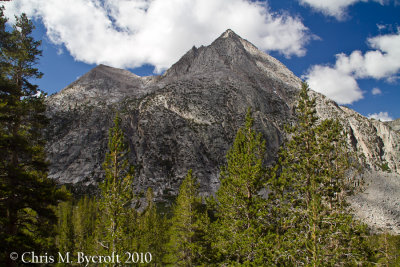 The Hermit (12,328 m), on-route to Evolution Lake. |
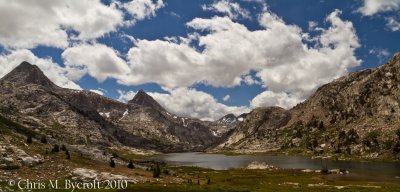
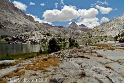 Evolution Lake, Mt Huxley and partly obscured Mt Goddard at head of valley |
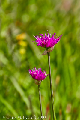 Swamp onion at Evolution Lake |
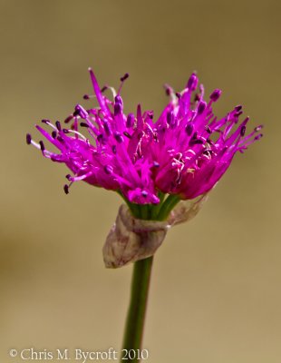 Swamp onion at Evolution Lake |
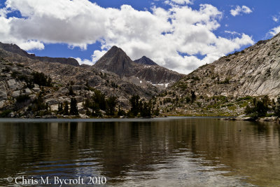 Evolution Lake, Mt Huxley and partly obscured Mt Goddard at head of Evolution Valley |
 Roy, Evolution Lake |
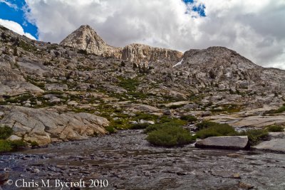
 Mountain Walls, Evolution Valley |
 White daisy, Evolution Lake |
 Little elephant's head flower - past its best |
 Eastern slopes above Evolution Lake, mountians from left to right; Mt Spensor, Mt Huxley, and Mt Goddard |
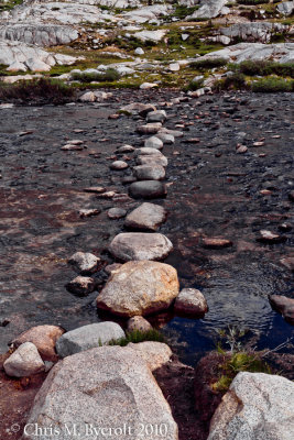 Stepping stones |
 River above Evolution Lake, Mt Huxley in upper left |
 Mountain sage - a subalpine daisy near evolution lake |
 Mountain sage flower |
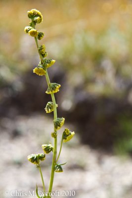
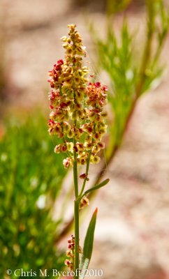 Mountain sorrel |
 Sapphire Lake, Mt Fiske and Mt Huxley |
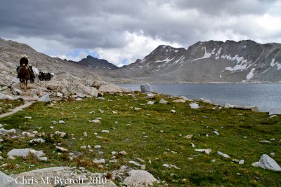 First of several groups of mules, Wanda Lake |
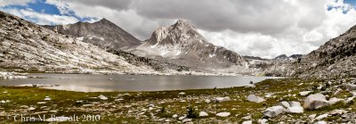
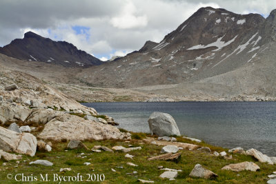 Wanda Lake, Black Giant (left), Mt Solomons (right) |
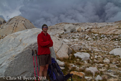 Roy, contemplating the change in weather |
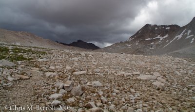 Towards Muir Pass |
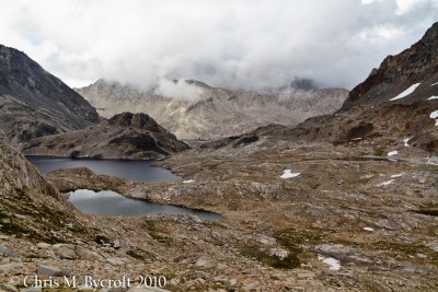
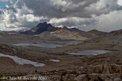 North of Muir Pass, Lake Wanda (L) and Lake McDermand (R) |
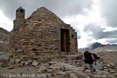 Muir Hut, Muir Pass |
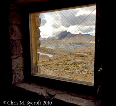 Window view, Muir Hut |
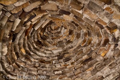 Muir Hut, stonework roof |
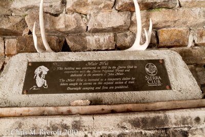 Muir Pass, history |
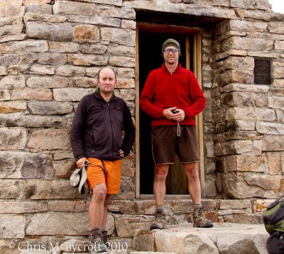 Me and Roy outside Muir Hut |
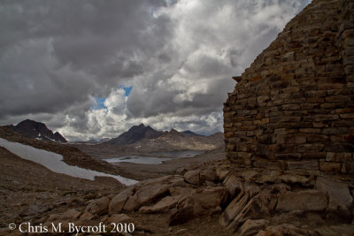 Muir Hut, view south towards Lake Wanda |
 Towards Helen Lake, from descent from Muir Pass |
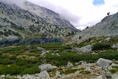 Unnamed Lake, we set up camp at the far end for the night |
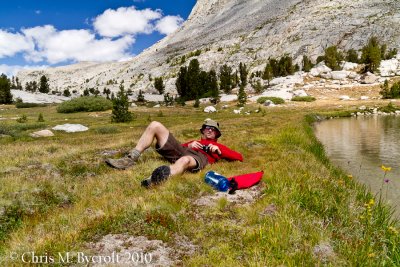
 Day 15: Late start by unnamed lake campsite |
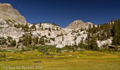 Moon and Mountains, Le Conte Canyon |
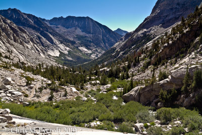 The way ahead, Le Conte Canyon |
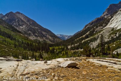 Further down Le Conte Canyon, above Little Pete's Meadow |
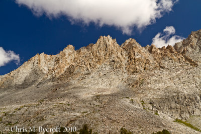
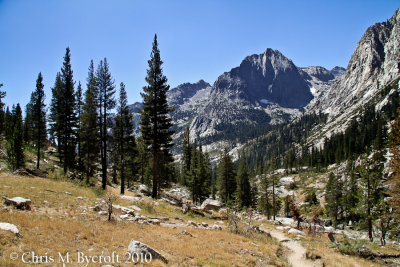 Towards the Citadel (11,738 feet) from JMT in Le Conte Canyon |
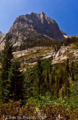 The Citadel, smoke arriving |
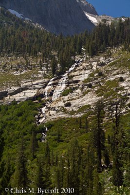 Cataract beneath The Citadel |
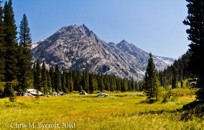 Lunch spot in Grouse Meadow |
 Palisade Creek Valley, Golden Staircase ahead |
| comment | share |