


|
|
|
|
|
|
| Chris Bycroft | profile | all galleries >> John Muir Trail 2010 >> Part 1: Happy Isles to Tuolumne Meadows | tree view | thumbnails | slideshow | map |
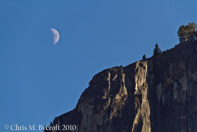 15 August 2010 : Moon and granite faces |
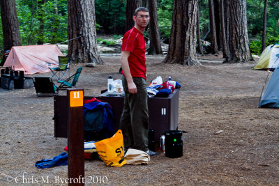 Organising gear |
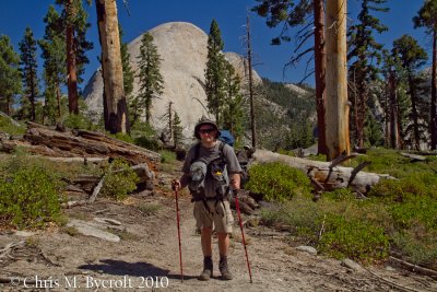
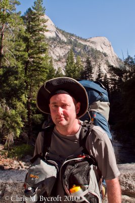 Day 1: 16 August 2010. Me at start of John Muir Trail |
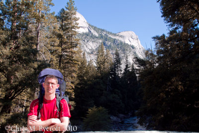 Roy at start of John Muir Trial |
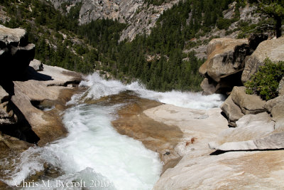
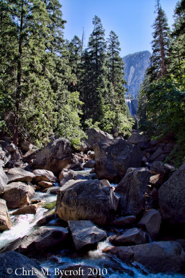 Vernal Falls and Merced River |
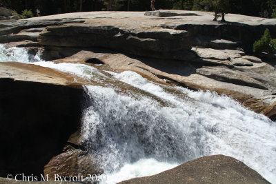
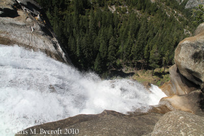
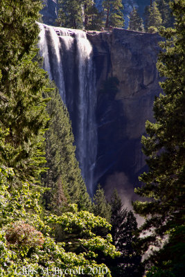 Vernal Falls |
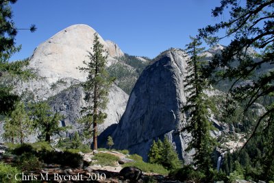
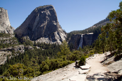 Liberty Cap and Nevada Falls |
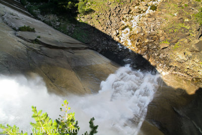
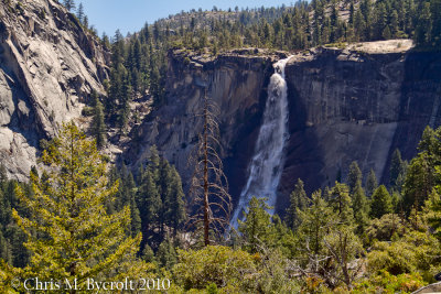 Nevada Falls |
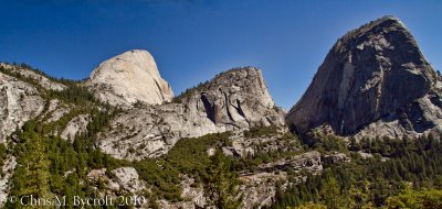 Half Dome, Mt. Broderick, and Liberty Cap (Select Original tab below to get a larger image to view) |
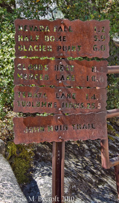 Trail Sign |
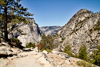 View down the Merced Valley |
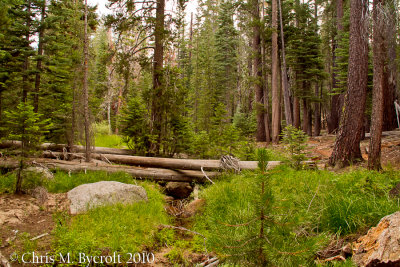
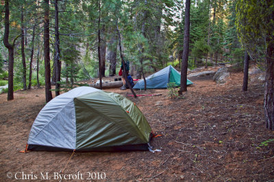 Day 2: 17 August 2010. First campsite on the trail, Illilouette Creek |
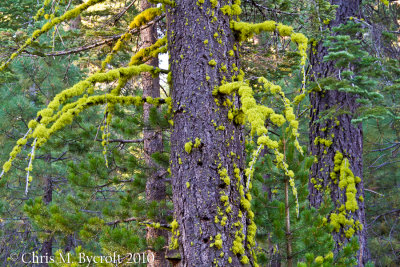 Colourful Lichens on Pines |
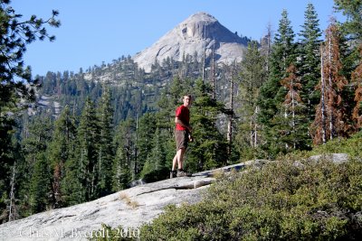
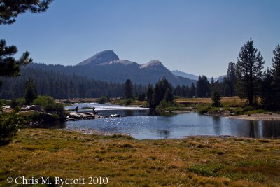
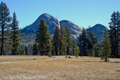 Mt Starr King |
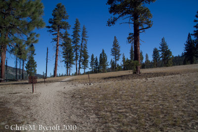 Jeffrey Pines - alongside track nearby junction |
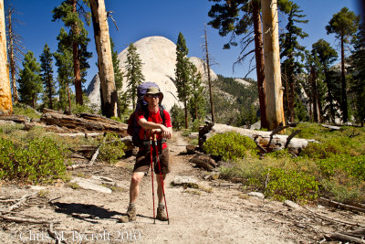 Roy at track Junction with Half Dome in background |
 Me at same location as previous image |
 Switchback views |
 Above Nevada Fall |
 Merced River |
 Above Nevada Fall |
 Nevada Fall from above |
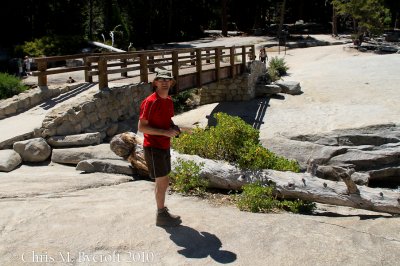 Roy, Nevada Fall Bridge |
 Near campsite near Clouds Rest Junction. |
 Day 3: 18 August 2010. White fir forest near Sunrise Creek |
View from outlook above Sunrise Creek - best viewed at original size and scroll across photo |
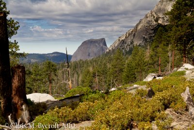 Above Sunrise Creek. Last view of Half Dome while heading towards Sunrise Mountain |
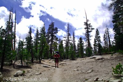 Roy approaching the top of Sunrise Mountain |
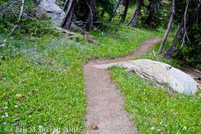 Track and wild flowers |
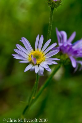 Purple daisy |
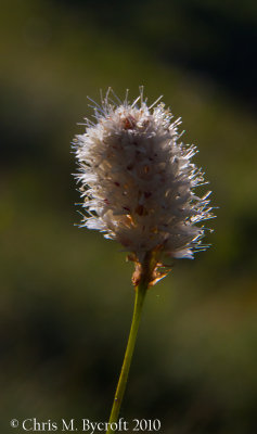
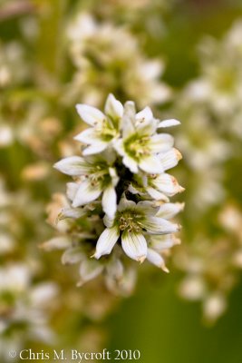 Corn lily flower |
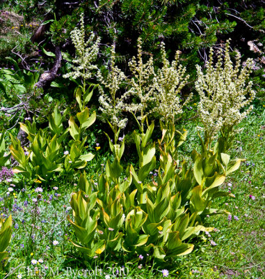 Corn lily |
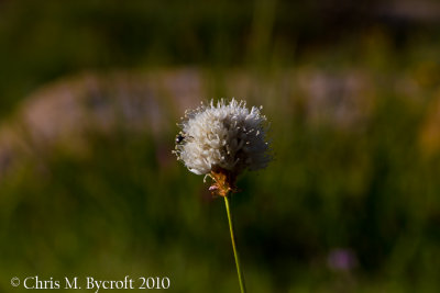
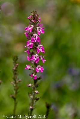 An Elephant's head flower |
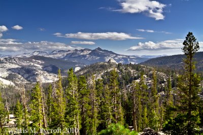
Mountian views (please view at original size (see below) and scroll across page) |
 Long Meadow |
 Columbia Finger from Long Meadow |
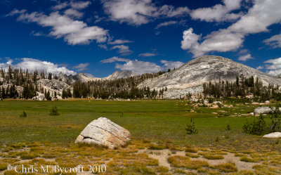 Long Meadow and mountains |
 Columbia Finger from north end of Long Meadow |
View to east of Columbia Finger (Please view at original size (see below) and scroll to right |
 Yosemite mountains to the south from east of Columbia Finger |
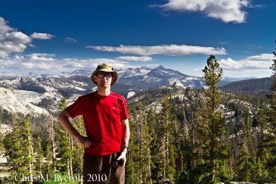 Roy, Yosemite Mountains to South |
 Me, East of Columbia Finger |
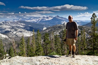 Me, mountains to the south of Columbia Finger |
 Columbia Finger from east |
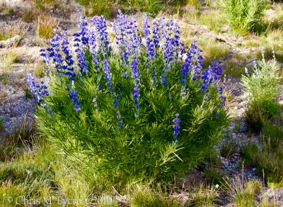 Large-leaf lupine |
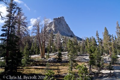
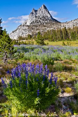 Cathedral Peak and large-leaf lupine |
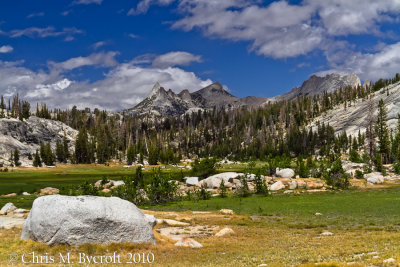
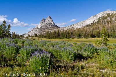 Meadow and Cathedral Peak |
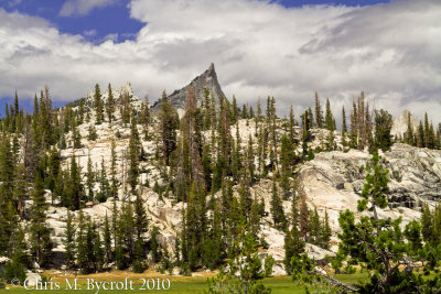
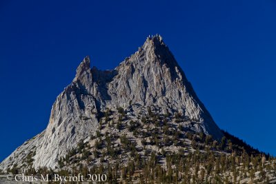 Zoom in of Cathedral Peak |
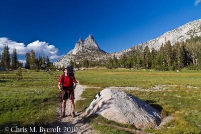 Roy ready to continue after photo session |
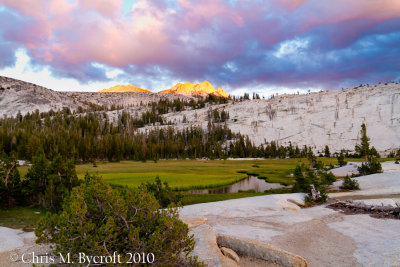
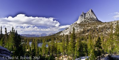 Upper Cathedral Lake and Cathedral Peak |
 Upper Cathdral Lake, Mountains of Tuolumne Catchment |
 Nude buckwheat by Upper Cathedral Lake |
 Nude buckwheat by Upper Cathedral Lake |
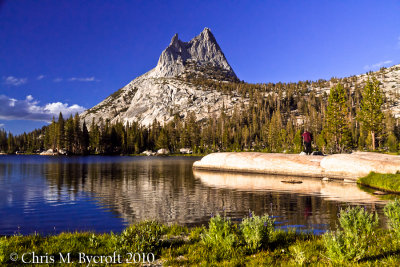 Upper Cathedral Lake and Cathedral Peak |
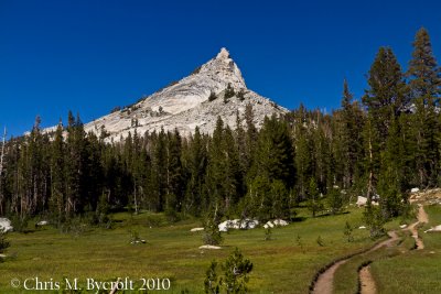
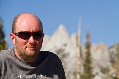
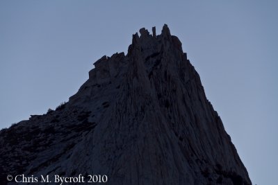
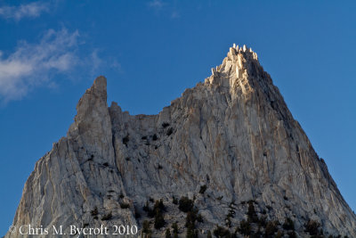 Cathedral Peak |
 Roy at Lower Cathedral Lake |
 Meadow east of Lower Cathedral Lake |
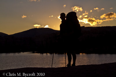
 Sunset - Lower Cathedral Lake |
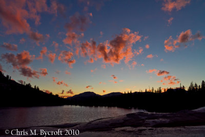
Day 4: 19 August 2010. Early morning light at Lower Cathedral Lake (scroll to right to view image) |
 Morning light, Cathedral Peak |
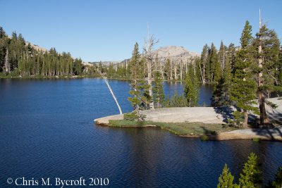
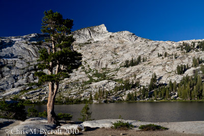 Lone whitebark pine tree, Lower Cathedral Lake |
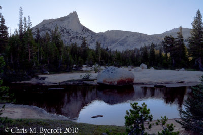 Sun about to be revealed behind Cathedral Peak |
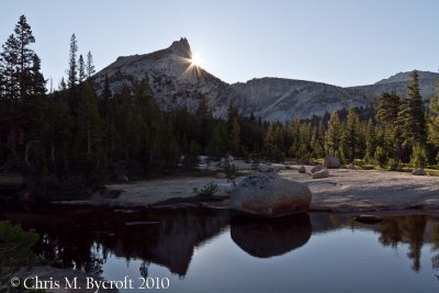 Sun just poking through behind Cathedral Peak |
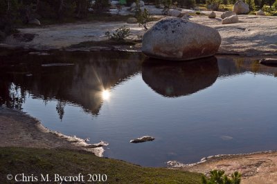 Sun being revealed behind Cathedral Peak in reflection |
 Lower Cathedral Lake in morning |
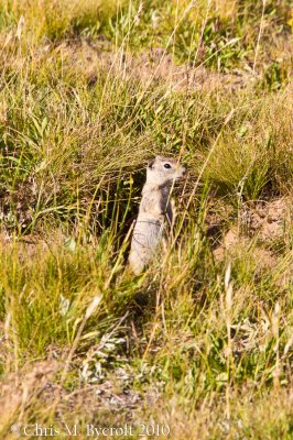
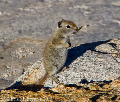 A ground squirrel at Lower Cathedral Lake |
 Belding's ground squirrel |
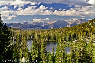
 Tuolumne River, Fairview Dome |
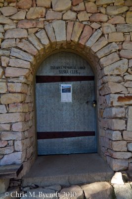 Parson's Memorial Lodge, Tuolumne Meadows |
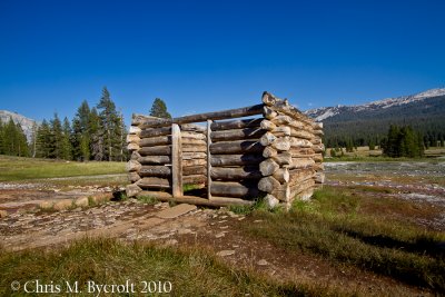 Old log cabin, Soda Springs, Tuolumne Meadow |
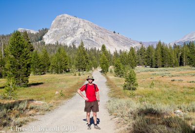 Roy, Lambert Dome behind |
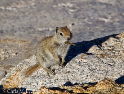
 Belding's ground squirrel |
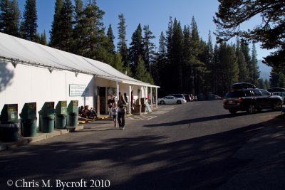 Tuolumne Meadows, store, post office, and grill |
| comment | share |