


|
|
|
|
|
|
| Chris Bycroft | profile | all galleries >> John Muir Trail 2010 >> Part 7: Bighorn Plateau to Mt Whitney and end of Trail | tree view | thumbnails | slideshow | map |
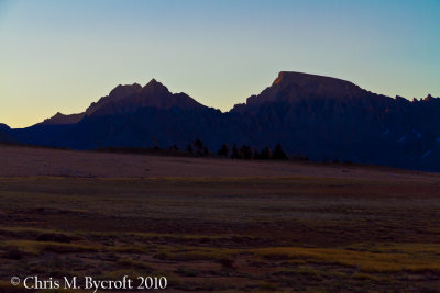
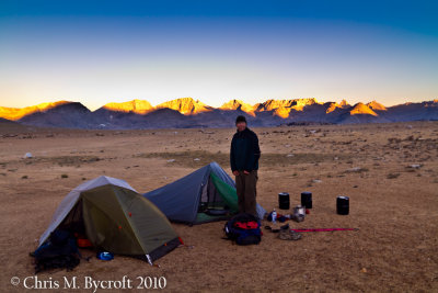 Roy and campsite, Mountains of the Great Western Divide behind |
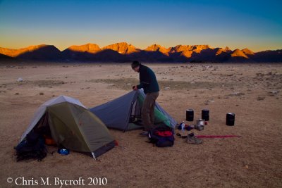 Campsite, better lighting than previous photo |
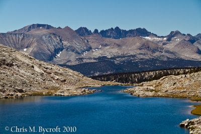
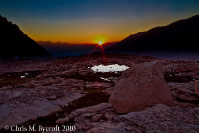
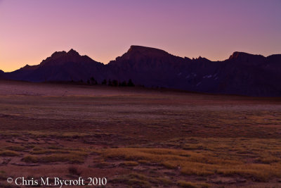 Just before sunrise at Bighorn Plateau, Mt. Russell and Mt. Whitney behind |
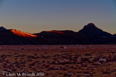 First morning sunlight on Moutains of the Great Western Divide from Bighorn Plateau |
 First sunlight on north faces of Mt. Russell and Mt Whitney from Bighorn Plateau |
 Morning light, Bighorn Plateau |
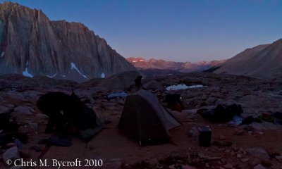
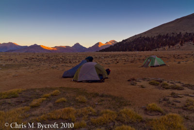 Our campsite, from front to back: my tent, Roy's tent, and Bob's tent. Mountains of the Great Western Divide beyond. |
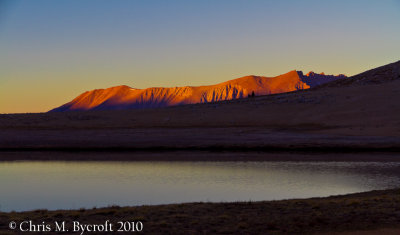
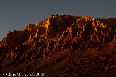
 Sunlight on the Great Western Divide |
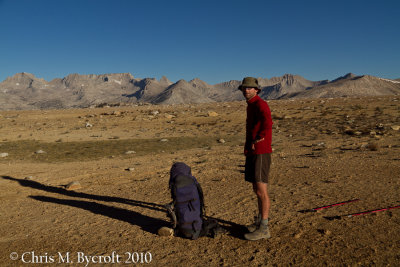 Roy and pack on Bighorn Plateau. Great Western Divide beyond. |
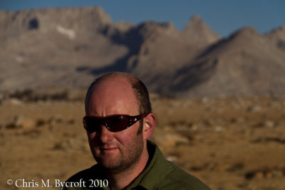
 Roy at Bighorn Plateau |
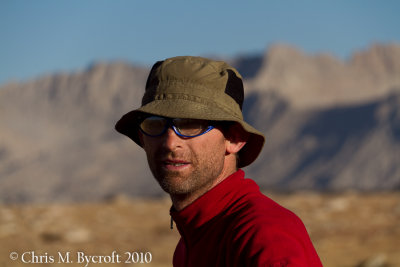
 Me at Bighorn Plateau |
 The Kaweahs, behind Bighorn Plateau |
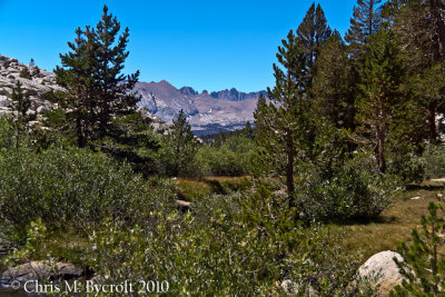
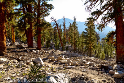 John Muir Trail passing through foxtail pine forest |
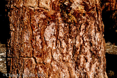 Foxtail pine bark |
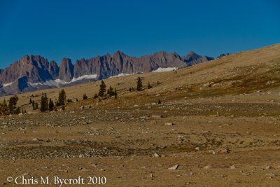
 Foxtail pine forest, south of Bighorn Plateau |
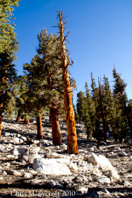
 Foxtail pine needles and trees |
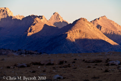
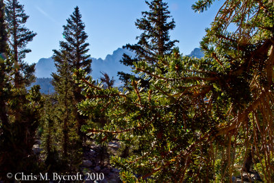
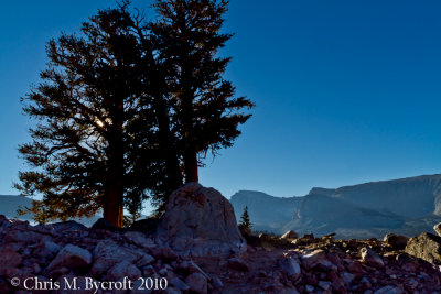 Foxtail pines silhouette, Mt Whitney behind |
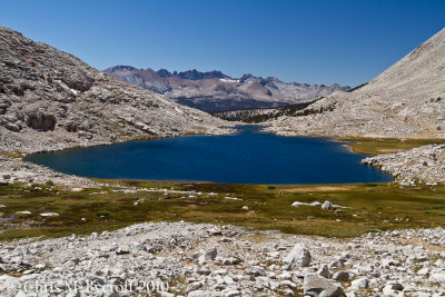
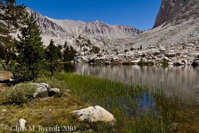 Timberline Lake |
 Timberline Lake outlet, view toward Kaweah Mountains |
 Stream crossing at Guitar Lake |
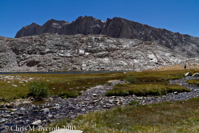
 Guitar Lake, Kaweah Mountains on skyline |
 Guitar Lake, Kaweah Mountains on skyline |
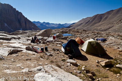 Campsite amongst tarns above Guitar Lake |
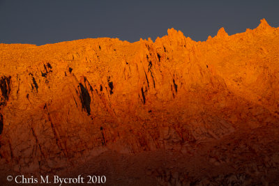
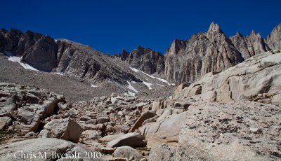
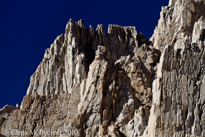 Western faces of Mt Whitney |
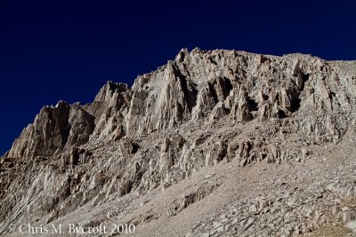 Mt Whitney faces |
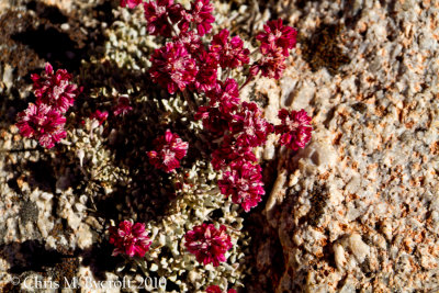 Frosted buckwheat seeds |
 Mt Whitney faces |
 Campsite, Bob and Greg, Kaweahs on skyline |
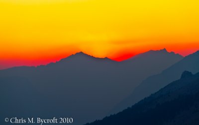
 Sunset over Kaweahs |
 Sunset over Kaweahs |
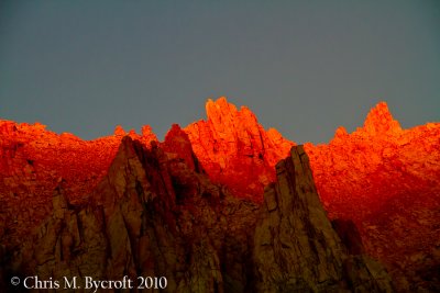
 Sunset light on Mt Whitney faces |
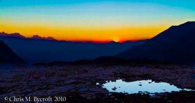
 Sunset from campsite above Guitar Lake |
 Sunset on Mt. Whitney faces |
 Sunset over Kaweahs |
 Sunset |
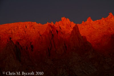 Sunset on Mt. Whitney Faces |
 Sunset on Mt Whitney Faces |
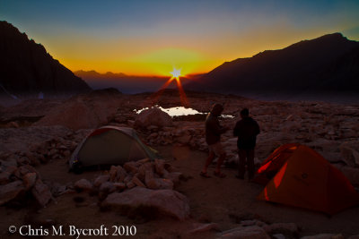
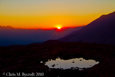
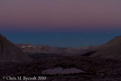
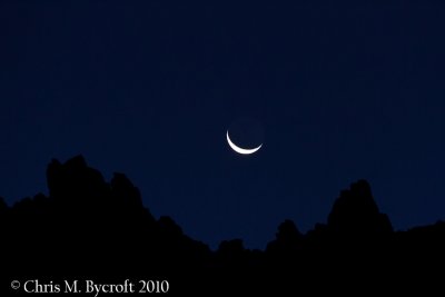 Day 21: Moonrise before sunrise |
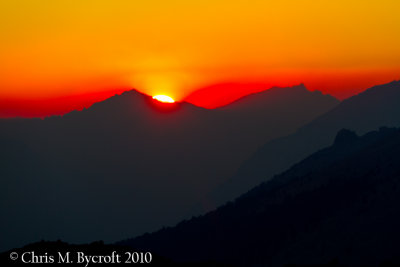
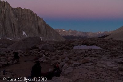
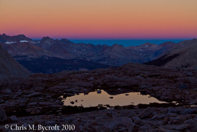
 Before sunrise |
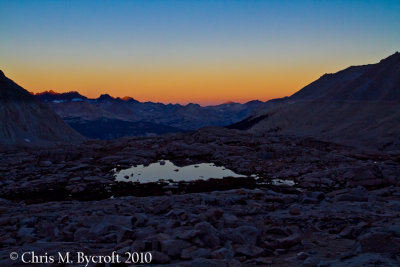
 Before sunrise, prepartion to walk up to Mt. Whitney summit |
 Before sunrise |
 Before sunrise |
 Before sunrise |
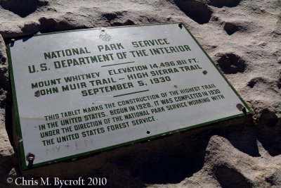
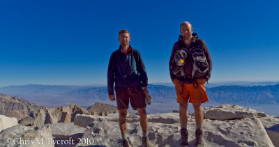 Roy and me on the summit of Mt. Whitney (14,495 feet, 4,421m - the highest in the contiguous USA) |
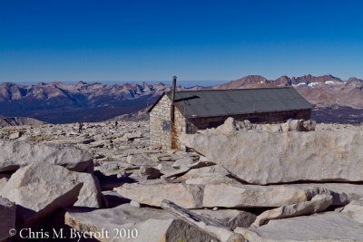 Hut on Summit of Mt. Whitney |
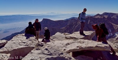 A group on the Summit, some are daywalkers, a few are people we had meet on and off on the JMT |
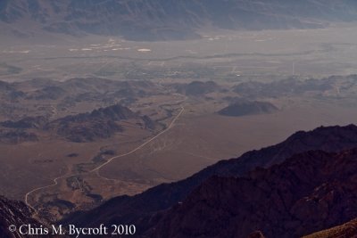 Lone Pine form Mt. Whitney |
 Roy on Mt. Whitney Summit |
 Me on Mt. Whitney Summit |
 The official end of the John Muir Trails, but several thousand feet to desend to Whitney Portal |
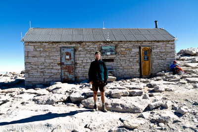 Roy and Summit hut |
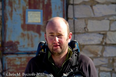
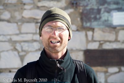 Roy |
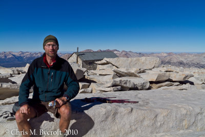
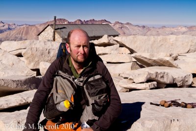
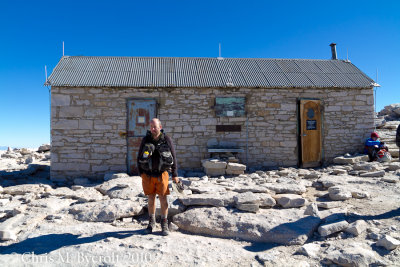 Me and Whitney Summit Hut |
 Me |
 A group heading down, we were about to follow. |
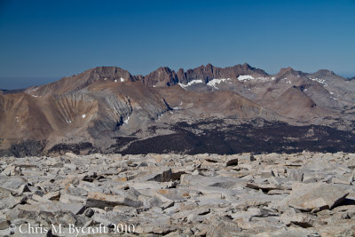 Kaweah Mountains from Mt. Whitney |
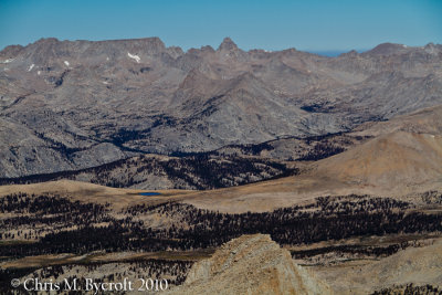
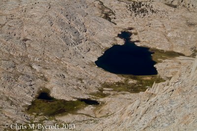
 Guitah Lake from Mt. Whitney |
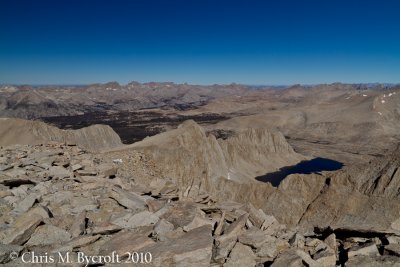
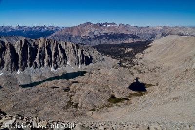
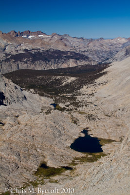
 The Mountains of the Great Western Divide and Bighorn Plateau from Mt Whitney |
 Bighorn Plateau from Mt. Whitney, our campsite two nights ago. |
Panorama from Mt Whitney, the Pinnacles, Mt Hitchcock, and Hitchcokc Lakes |
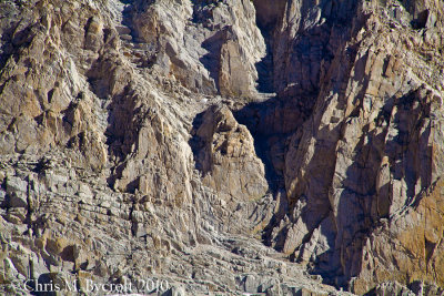
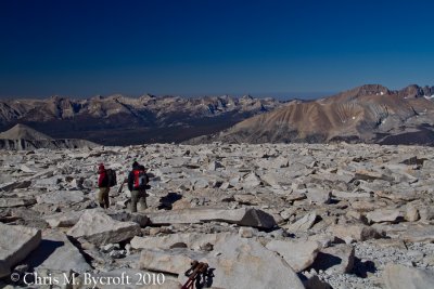
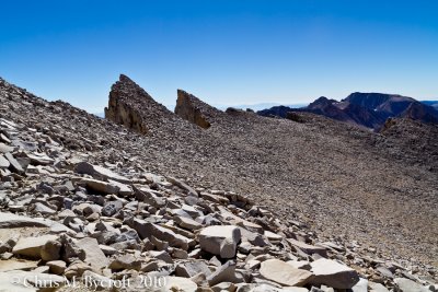 On the way down, The Pinnacles. |
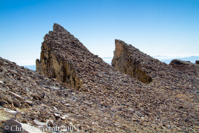 The Pinnacles |
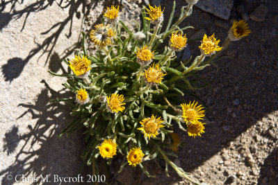 Alpine gold |
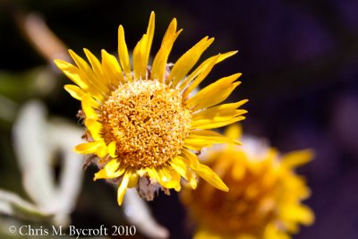 Alpine gold |
 View on way down from Mt. Whitney. Guitar Lake and one of the Hitchcock Lakes. Kaweah Mountains beyond. |
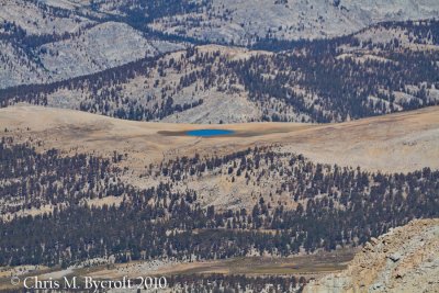
 Guitar Lake, and tarns near we camped the previous night |
 Guitar Lake and Kaweah Mountains |
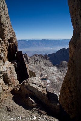 View between the Pinnacles. A long way down to Lone Pine. |
 On the way down from Mt Whitney, just past the very long group of Switchbacks |
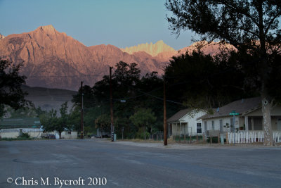 Mt Whitney from E Post St, Lone Pine |
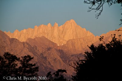 Mt Whitney from Lone Pine |
 Dow Villa, Lone Pine |
| comment | share |