


|
|
|
|
|
|
| turbostream | profile | all galleries >> Galleries >> Selly Oak during regeneration 2008- | tree view | thumbnails | slideshow | map |
Gallery - Incidential Images from selly Oak |
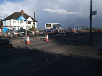
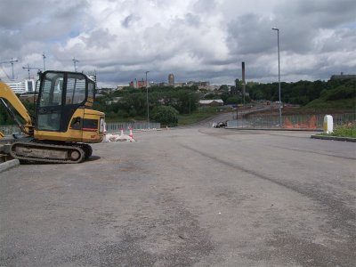
 Harborne Lane |
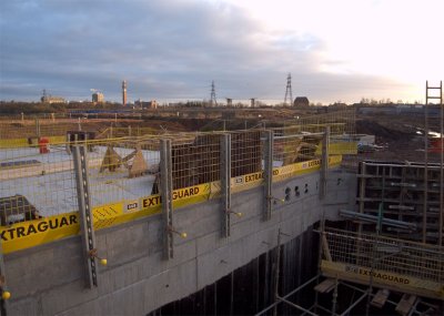
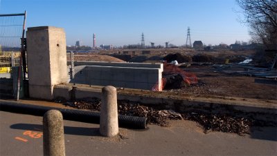
 Harborne Lane Bridge. |
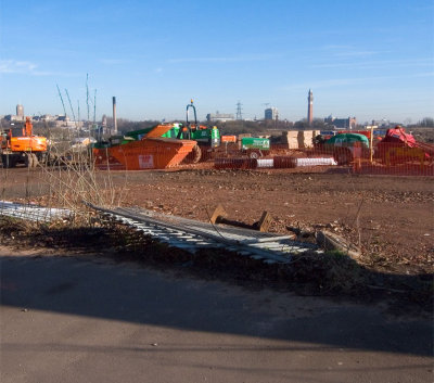
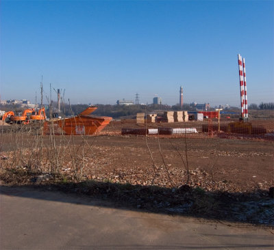
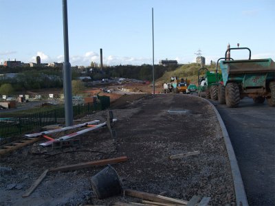
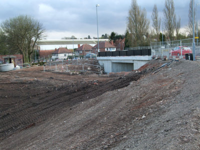
 Ground Works |
 Harborne Lane New bridge |
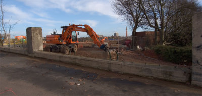 Digger.jpg |
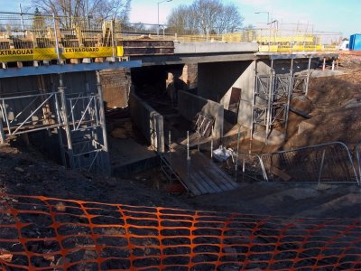
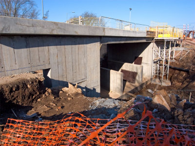
 Bridge Detail |
 Scaffolding |
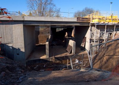
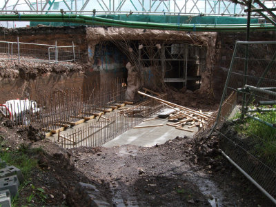
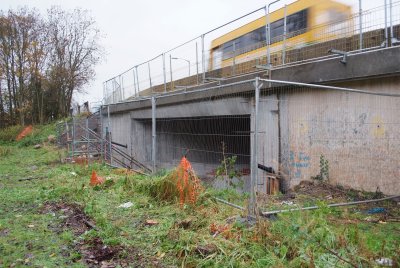
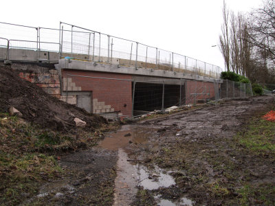
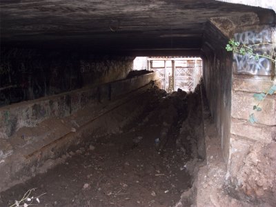 Under-tunnel |
 Bridge-work-3.jpg |
 Diggers.jpg |
 Scaffolding-2.jpg |
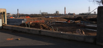
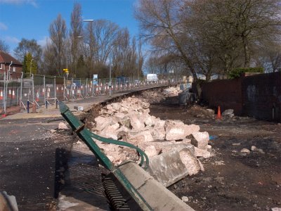
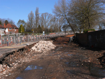
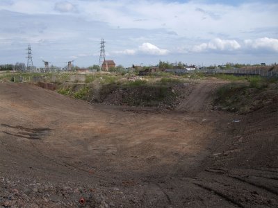
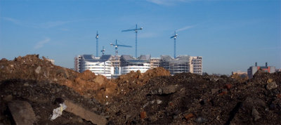 Rubble-hospital-pano.jpg |
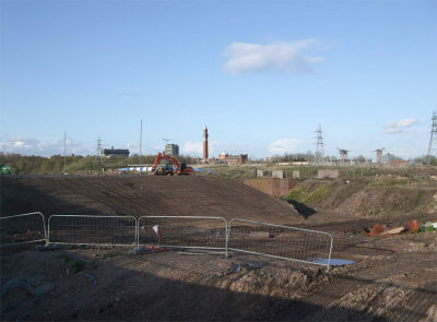
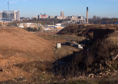 Battery-hollow-2.jpg |
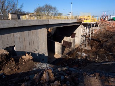 Bridge-work-4.jpg |
 Bridge-work-5.jpg |
 Bridge-work-6.jpg |
 New-Bridge-2.jpg |
 New-Island.jpg |
 A bit more progress |
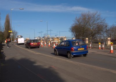
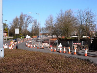
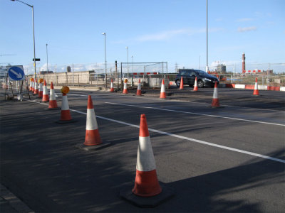
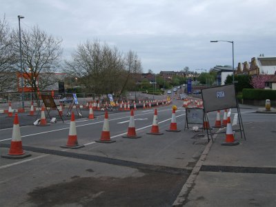
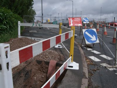
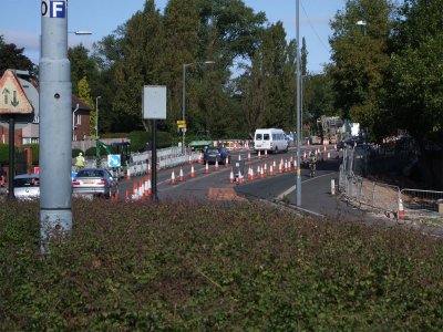
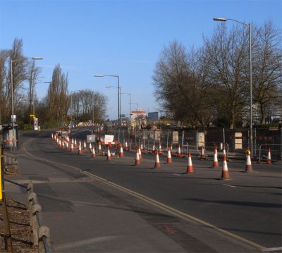 Coned off harborne lane |
 New-line-of-roadway.jpg |
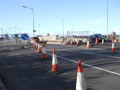
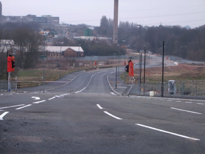
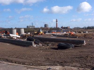 New Island |
 New-line-of-roadway-2.jpg |
 Harborne-Lane-3.jpg |
 New Island |
 New Island |
 Old bridge |
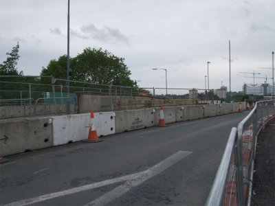
 Relief Road |
 Canal Bridge |
 Over View |
 Gibbins Road/Harborne Lane |
 Coned Off old Bridge |
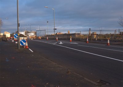
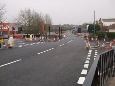
 Relief Road |
 No Pedestrians please |
 Bridge Demolition |
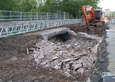 Demolition |
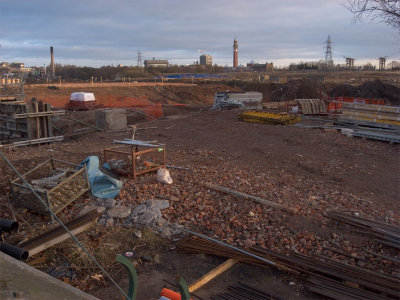
 Big hole |
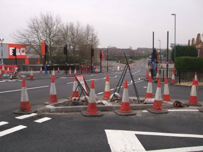
 Cones |
 New Bridge |
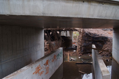 Inside |
 New bridge |
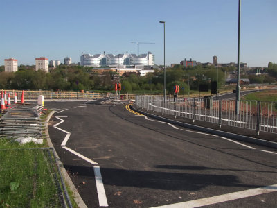
 New road |
 Harborne Lane |
 DSCF9444.jpg |
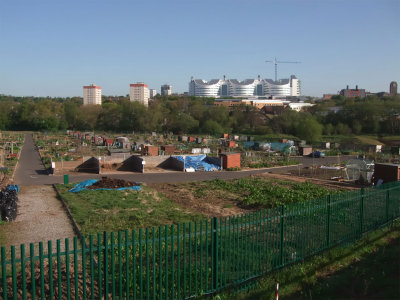 Allotments |
 DSCF9477-NR.jpg |
 Finished |
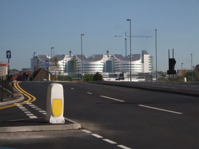
 Island panorama |
| comment | share |