


|
|
|
|
|
|
| Tom Joynt | profile | all galleries >> Personal Work >> Western USA >> Great Sand Dunes N.P. | tree view | thumbnails | slideshow | map |

 The Great Sand Dunes |
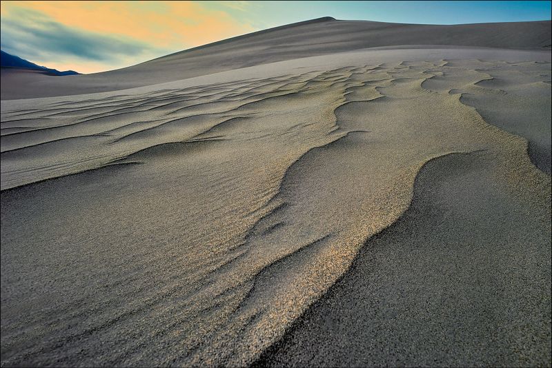 The Great Sand Dunes |
 The Great Sand Dunes |
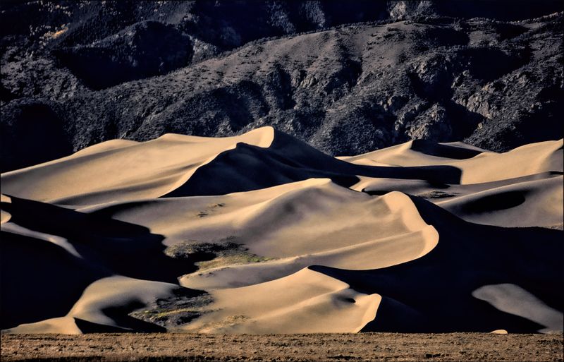
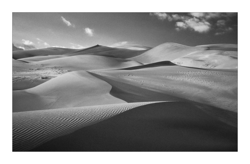 Great Sand Dunes National Park |
 Great Sand Dunes National Park |
 Great Sand Dunes National Park |
 Great Sand Dunes National Park |
 Great Sand Dunes National Park |
 Great Sand Dunes National Park |
 Coral Pink Sand Dunes State Park, Utah |
 Florida Dunes |
 Florida Dunes |