photo sharing and upload picture albums photo forums search pictures popular photos photography help login
Peter Thomson | profile | all galleries >> March thru May trip to the US Southwest and Southeast >> White Sands National Monument tree view | thumbnails | slideshow

White Sands National Monument

The White Sands National Monument lies in a valley between the San Andres mountains to the West, and the Jarilla Mountains to the Southeast, into which a number of rivers drain, and which has no outflow. The rivers drain areas rich in Calcium and Sulphates, and are actually dilute solutions of gypsum, into Lake Lucero, where the water evaporates, leaving the gypsum. The wind blows it into dunes which move across the countryside. The dunes are a blinding white, but their colour softens at sunset and makes them pretty photogenic.
White Sands, and the neighbouring town of Alamogordo are also (in)famous for being the site of the first Uranium bomb explosion in 1945.
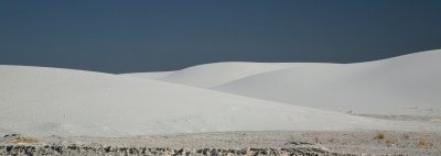
01-White Sands Daytime.JPG
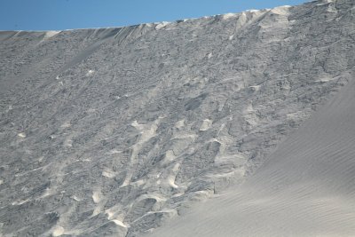
02-Sandfall Patterns.JPG
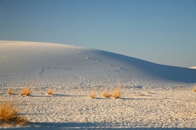
03-Evening Tracks.JPG
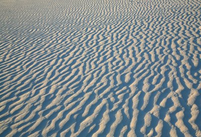
04-Wind Ripples.JPG
04-Wind Ripples.JPG
05-Crossover.JPG
05-Crossover.JPG
06-Approaching Sunset.JPG
07-Towards the Mountains.JPG
08-Towards the Other Mountains.JPG
09-Last Rays.JPG
09-Last Rays.JPG