


|
|
|
|
|
|
| tan boonfoo | profile | all galleries >> Galleries >> mat_kilau_trail | tree view | thumbnails | slideshow |
| previous page | pages 1 2 3 ALL | next page |
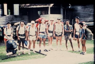 Group photo in Kg Pasir Raja. |
 Rest stop |
 Crossing this river a few times |
 Shallow water makes walking along the river easier |
 Sometime along the stony bank |
 Looking at the topo map before we go. |
 Nice trekking along the river. |
 Rest stop like this is a recovery esp when the bacpac is heavy |
 A nice waterfall above this stop. We have to move to the left after this. We arrived at the summit of G. Mandi Angin 1459m short |
 Kg Pasir Raja. We arrived here by boat. There is no road yet when we did this expedition. |
 Makcik still making "tikah" |
 Group photo in Mat Daling. |
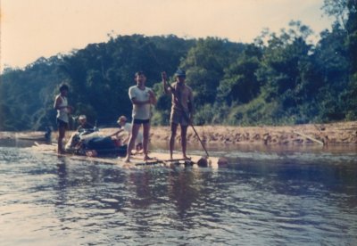
 After waliking the whole of the 2nd day along the river, we camped here and start to make 2 rafts. |
 2 rafts getting ready. |
 Our 2 guides are expert in this raft making. We have to cut 2 trees down to make these. |
 3rd day. |
 Excited |
 Kg Mat Daling |
 We took a longboat to Kg Bantal on the Tembeling |
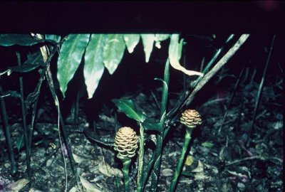 More of this flora at Mandi Angin |
 |
 Mat Daling where we put a night |
 Fort_Kemar_035 Medium.JPG |
 Arrived at Tahan Park HQ. Took almost a day by boat from Mat Daling to Park HQ |
 39.jpg |
 At the Police station in Jerangau |
 Group photo where we camp last night |
 Sail on my brother |
| previous page | pages 1 2 3 ALL | next page |
| comment | share |