


|
|
|
|
|
|
| takeda | profile | all galleries >> life in washington >> visiting the volcano | tree view | thumbnails | slideshow |
| previous page | pages 1 2 3 4 5 6 7 8 ALL | next page |
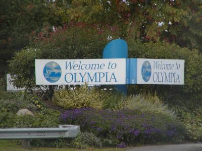
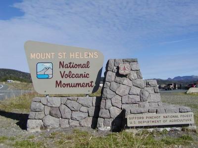
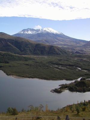 Welcome to the Mountain |
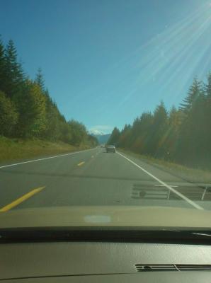
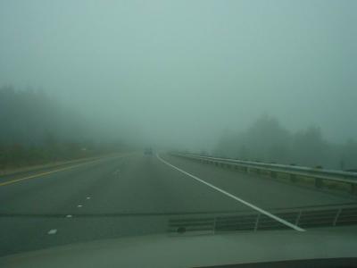 on my way there... kinda foggy, luckily it cleared up further south |
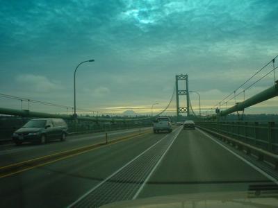 crossing the tacoma narrow's bridge, you can see mt rainier |
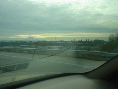 another shot of mount rainier (oh yeah, i'm taking these pics while driving, heh) |
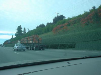 you don't see this in hawaii |
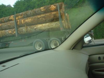 more logs |
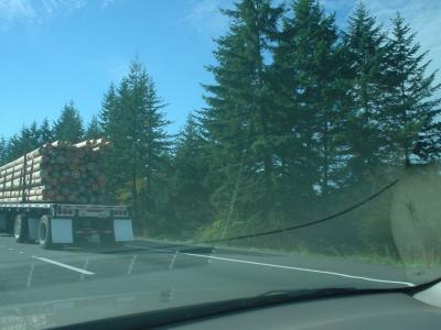 another truck |
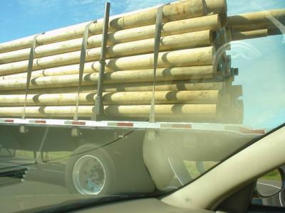 clean logs |
 i had to take a pit stop in the capitol to relieve some pressure |
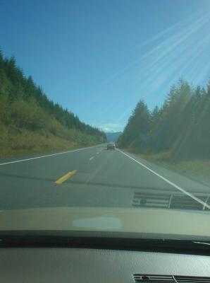
 i think you can see mount rainier under the clouds. |
 there was a big fire, so lots of smoke |
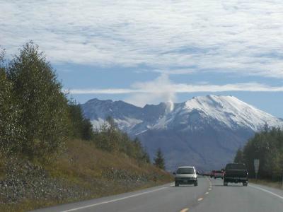
 almost there. |
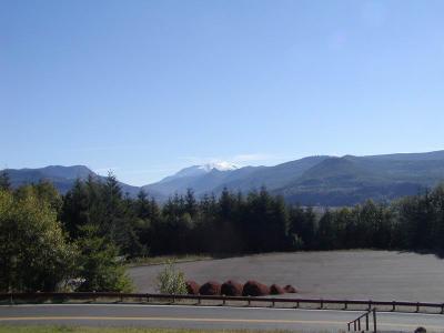
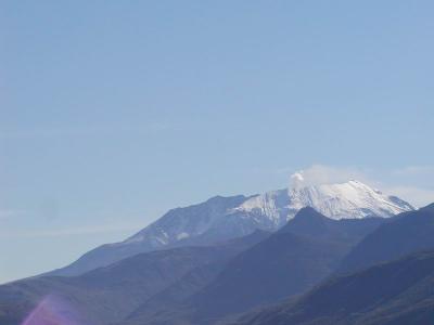
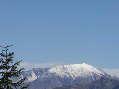
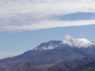
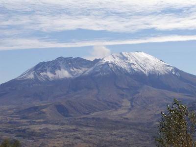
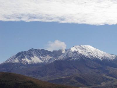
 first shot of the volcano |
 2nd shot of volcano |
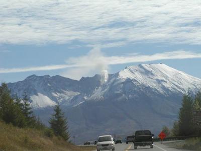
 yes, i'm taking pictures while driving. |
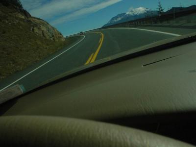
 the bridge is the edge of the blast zone |
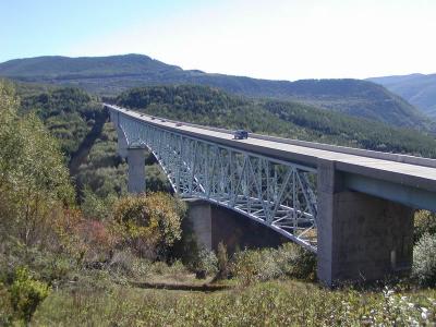 bridge |
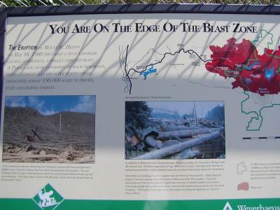
 weyerhouser replanting the forest HAND BY HAND, over a million something trees |
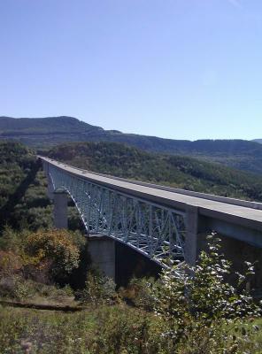 bridge again |
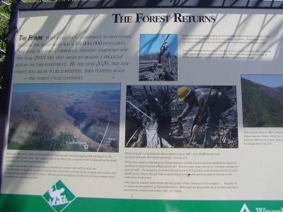
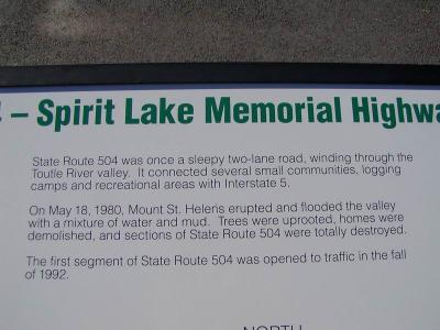
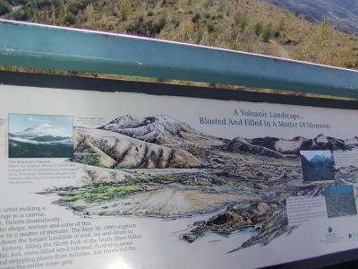
 bridge info |
 aloha spirit is everywhere |
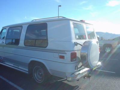 on this van |
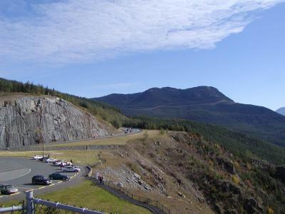
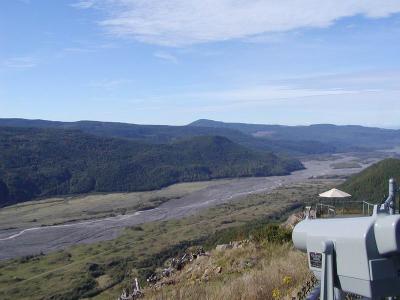
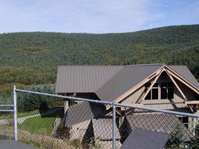
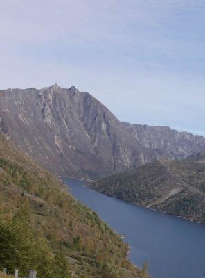
 the first lookout, weyerhouser's one |
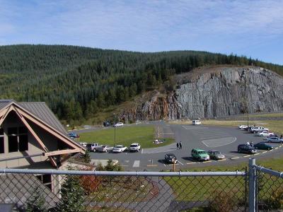
 closer |
 and closer |
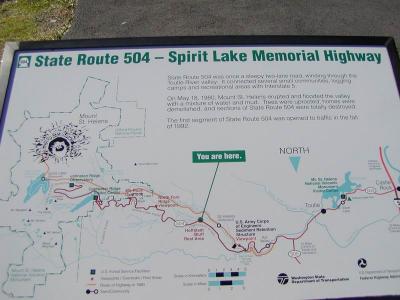 map of the park and road. the last, closest (leftmost on map) observatory was closed because its too close |
 more map |
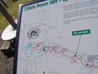 map again |
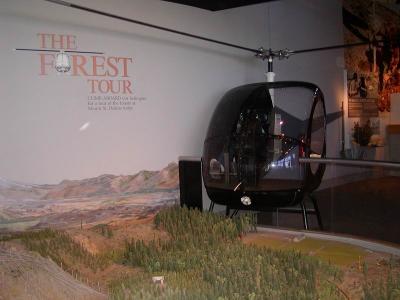
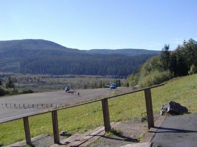 helicopter tours, i think they were $100 |
 jet overhead |
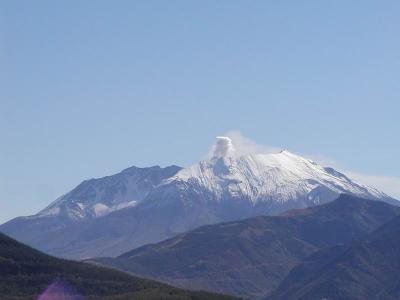
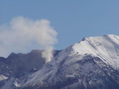
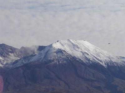
 lots of steam |
 panoramic shot, but i don't got the software on this pc to do it. |
 panorama 2 |
 panorama 3 |
 panorama 4 |
 panorama 5 |
 panorama 6 |
 panorama 7 |
 panorama 8 |
 panorama 9 |
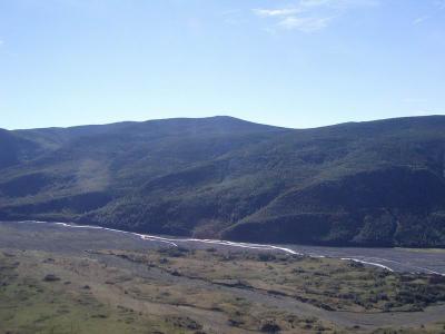
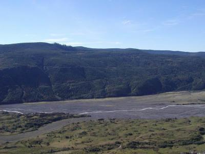
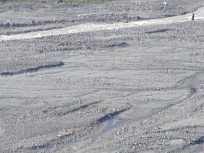
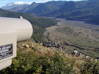
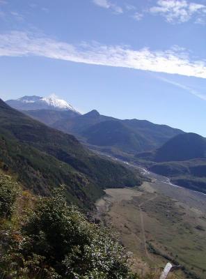
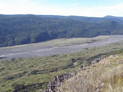 this river was actually 200 ft below this level, but the flow of mud filled up this valley thick for 19 miles downstream |
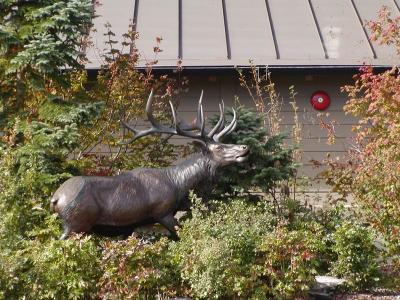
 there should be elk down there |
 don't you see them? |
 just me |
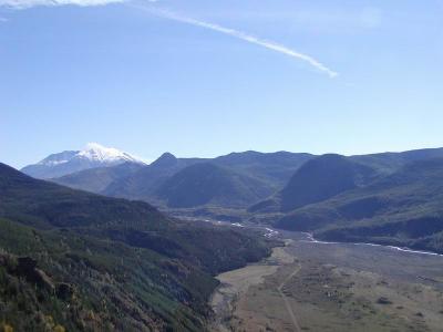
 again more mountain |
 nice day |
 it was very cool |
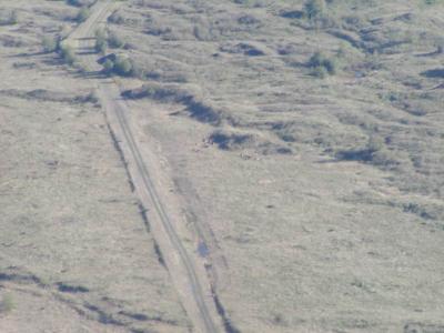
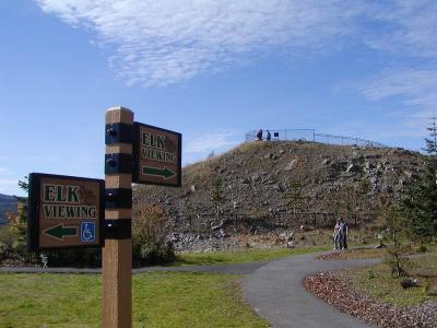 lookout to see the elk below |
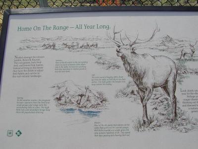 elk info |
 they are down there |
 See? |
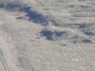 i told you |
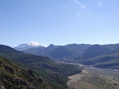
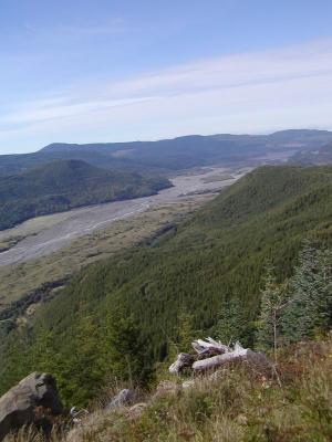
 more valley |
 and observatory |
 i know, lots of pics, sorry, can't help it, DIGITAL! |
 weyerhouser again |
 vertical shot |
 downstream |
 its not real, trust me. |
 weyerhouser viewpoint. - see story up top |
 before and after |
 more |
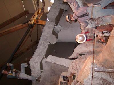
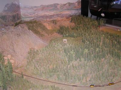 model |
 in weyerhouser's museum |
 back end of a logging truck |
 model of what they dealt with |
 PA110130.JPG |
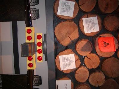
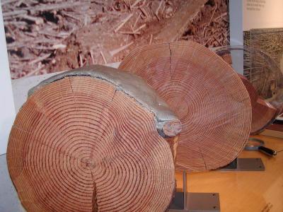 sample log cuts |
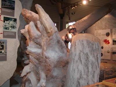
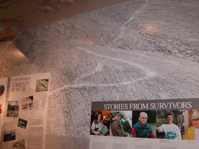 photo of destruction |
 tilt your head to the left a little |
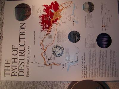
 this one was cool. refer to story on first page |
 contrast |
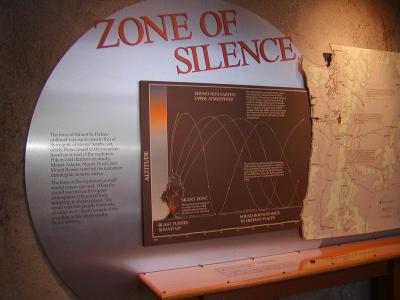
 sound waves missed the 60 miles closest to the volcano |
 where sound was/wasn't heard |
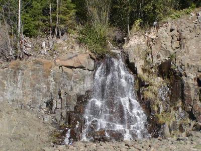 waterfall on the side of the road |
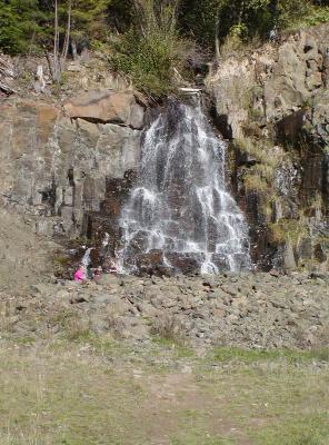 more waterfall |
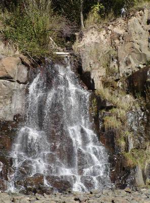 again |
 entering park |
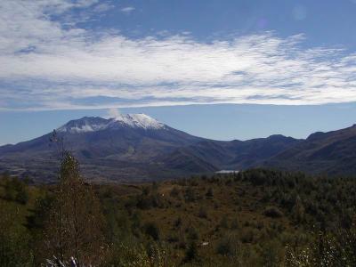
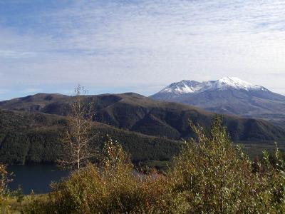
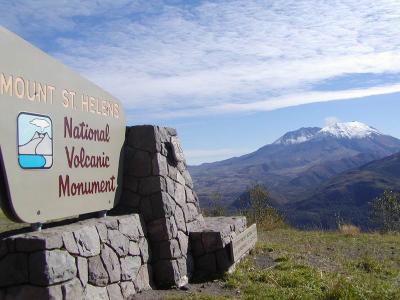 postcard shot |
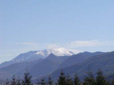
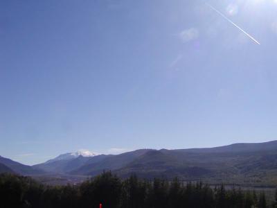
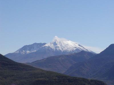
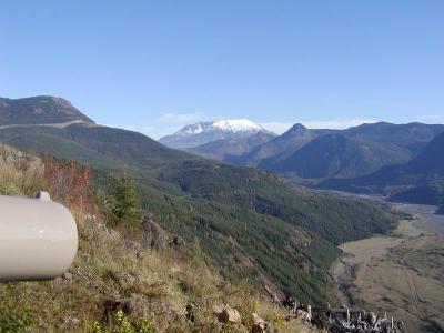
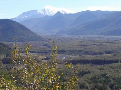
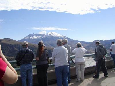
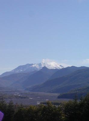
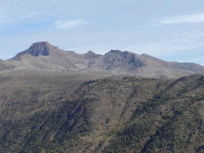
 mountain |
 another one |
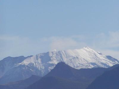
 zoomed in |
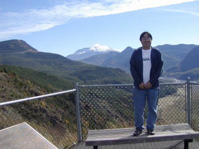
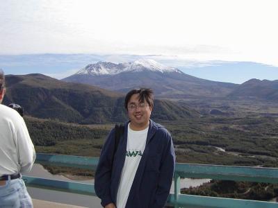
 me again |
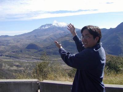 ta-da! |
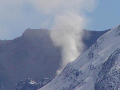
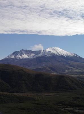
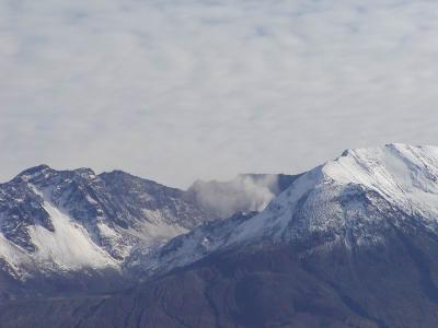
 steamin |
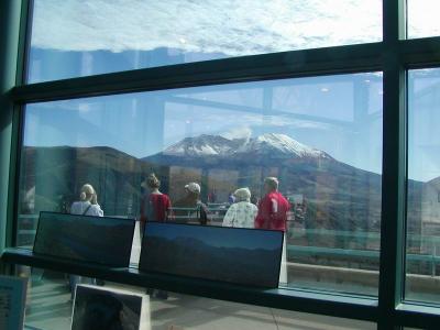
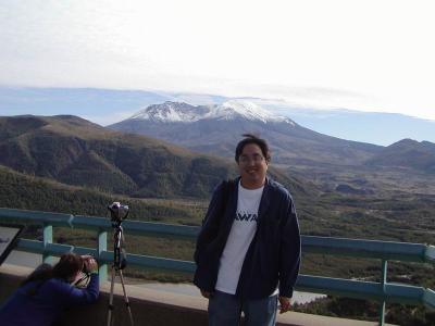
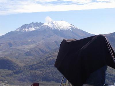 some professional photographer under his hood |
 media and the mountain |
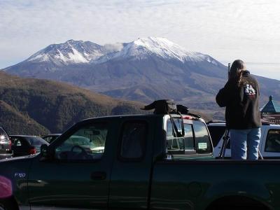
 camping out, taking up a whole viewpoint for their own. waiting for something big to blow |
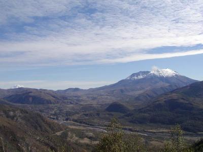
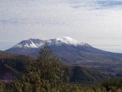
 mt. |
 more mountain |
 getting closer |
 and closer |
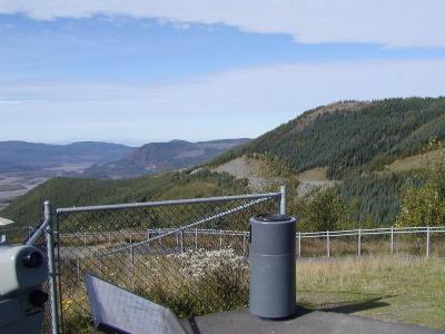
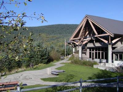
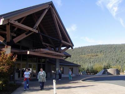
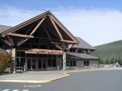
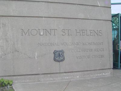
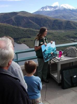
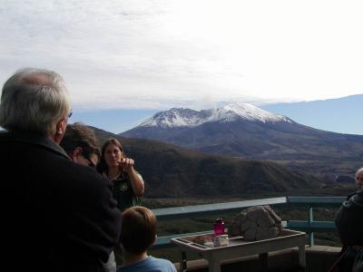
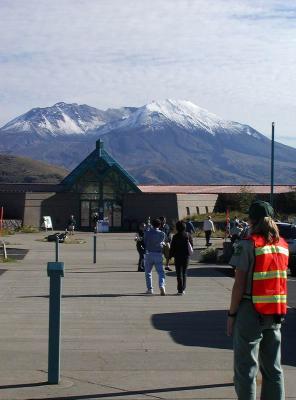
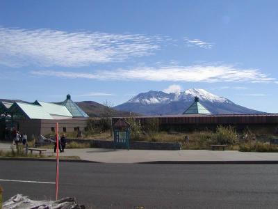 national park observatory |
 cool place |
 in the observatory |
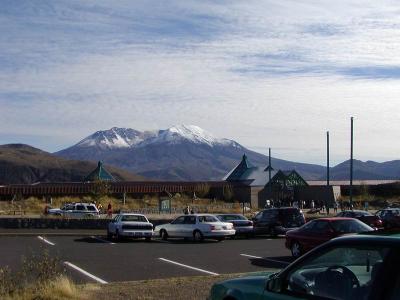
 restaurant overlook |
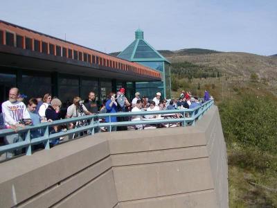
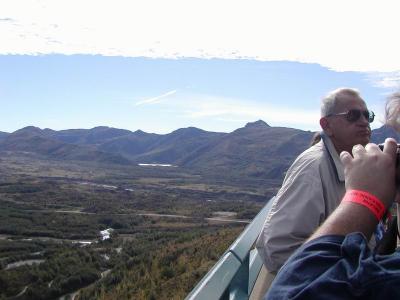
 lots of tourists |
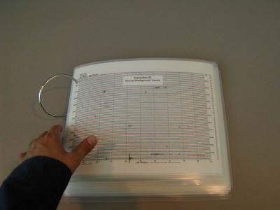
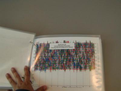
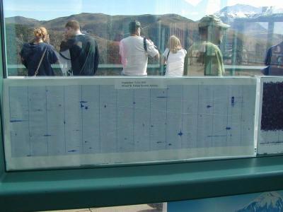 earthquake activity - sept 03 |
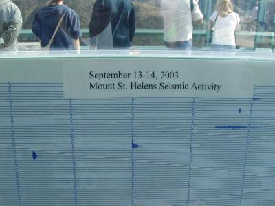 close up if you couldn't read it (like me) |
 earthquake activity last week |
 another zoom in |
 inside lookout |
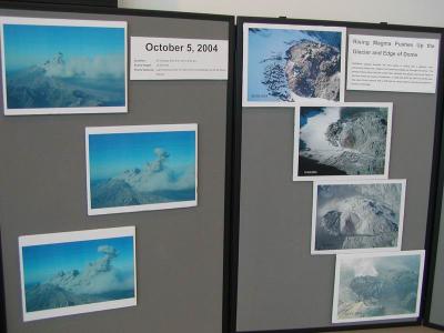
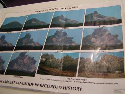 shots of what original eruption looked like and mudslide. |
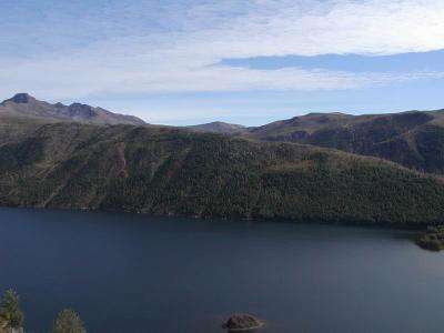
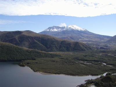
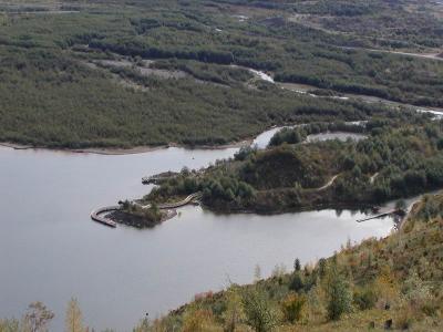
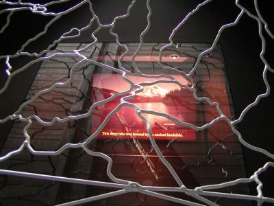
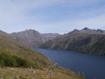 lake created when mudflow blocked up the river, 200 ft deep i think |
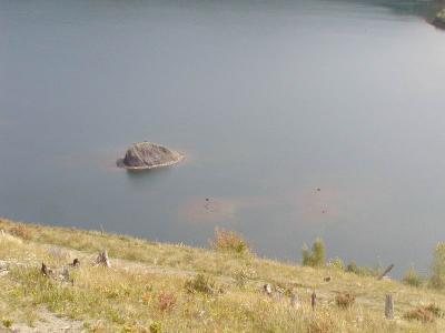
 more water |
 i think this was a panorama too |
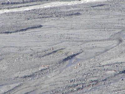
 you can see all the old mud and ash |
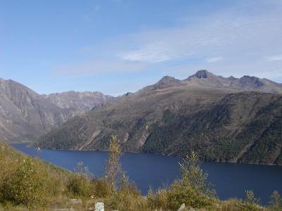
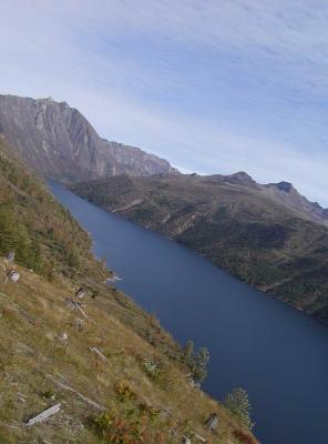 river/lake |
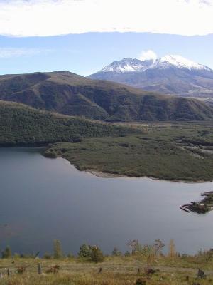 river/lake and mountain |
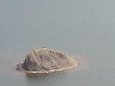
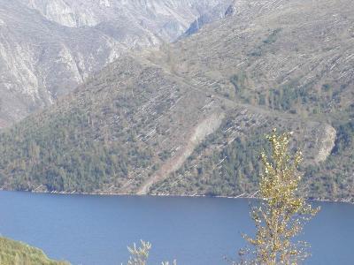
 zoomin in |
 and closer |
 lots of steam |
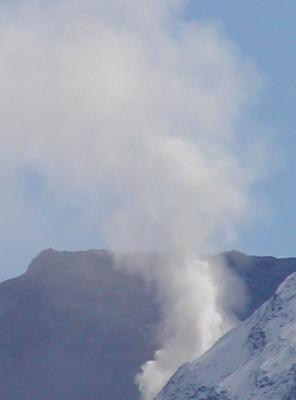 zoomed in all the way |
 i love taking pictures if you can't tell |
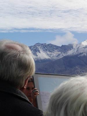
 everything closer to the mountain past the observatory was closed off |
 some big rock that was thrown here from the mountain |
 close up of rock |
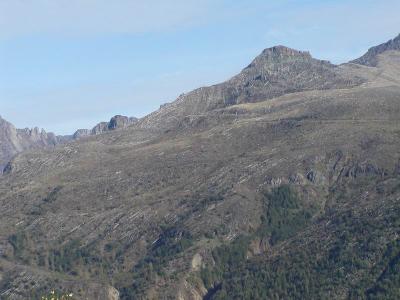
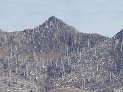
 that dead ridge again |
 story telling time |
 steaming behind |
 about rocks and what 'might' happen. they don't really know for sure |
 me again |
 during 1980 explosion, the ash and smoke reached the point where the observatory now is in 60 seconds!, 19 miles in 10 minutes |
 more me, |
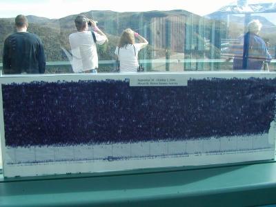
 more recent earthquake activity, sept 22 |
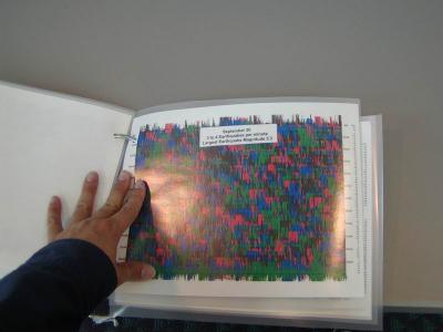
 sept 24 |
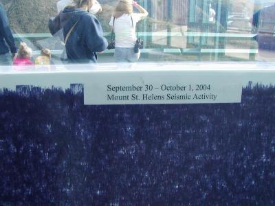
 sept 30, now you can see why they're concerned |
 last week, i guess i missed a good show, oh well, i was at work |
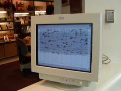 up to date activity |
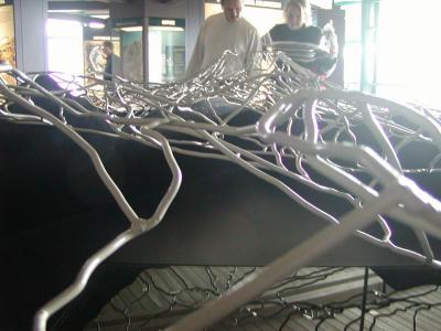
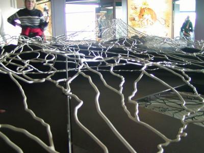
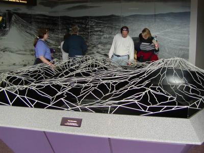 wire framed topography map |
 that explained the explosion |
 horizontal shot |
 trying for an artistic shot, but didn't work |
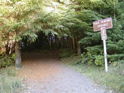
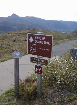 only trail open now |
 PA110112.JPG |
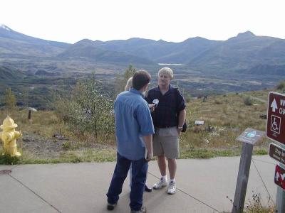 portland news. i got interviewed after, since they thought i was a "Volcano Expert" since I was from hawaii, yeah right. |
 getting overcast |
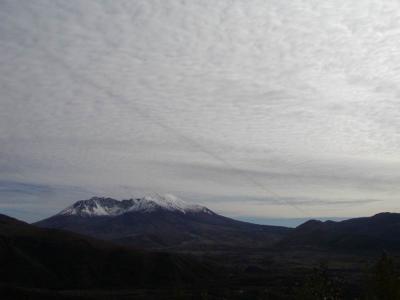 a jet flew by way overhead, creating a opposite jet stream in the clouds |
 i just noticed the dead trees still lying there |
 zoomed in |
 down the hillside |
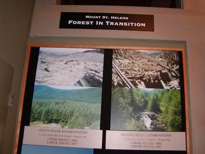
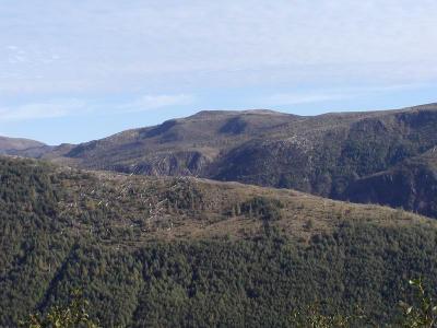
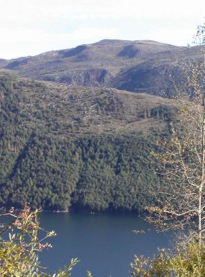
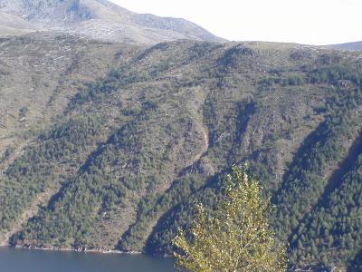 natural growth of the forest (compare to the shots near the weyerhouser lookout) |
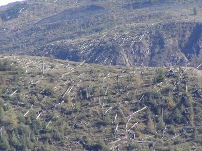
 another dead ridge behind |
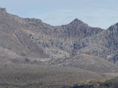 closer |
 another one |
 zoomed in (i love my zoom) |
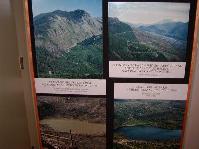
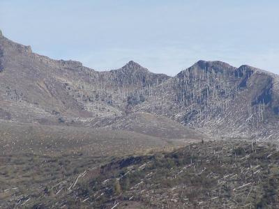
 i think this is the edge where weyerhouser's property ends and the nat'l park begins. |
 man-helped vs natural growth, i guess we do do good sometimes |
 more postcard shots |
 more edge of man vs nature |
 can't take enough |
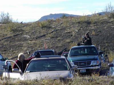 lots of amateur photographers hoping to get the best shot |
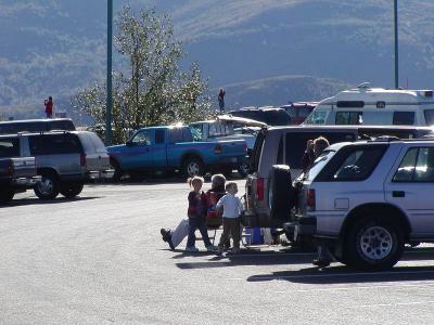 and people just chillin in the parking lot |
 another angle |
 ingenious! |
 observatory and volcano |
 helicopter and volcano, to compare the size of it |
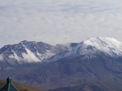 i think that was a USGA one taking readings or photos |
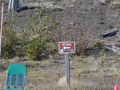 you can take your pets for a bathroom break too |
 they brought in a whole bunch of extra rangers to handle the large crowds |
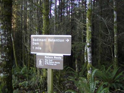
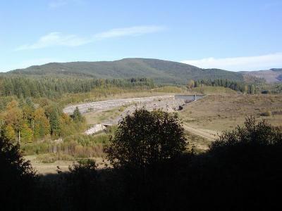
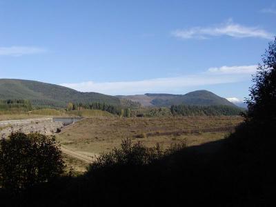
 path to the sediment dam that the army corp of engineers built |
 after the 1980 eruption to hopefully stop the flow of ash from causing the same damage again |
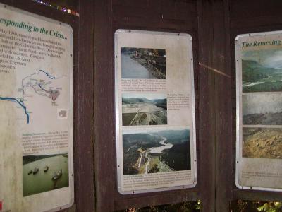 info |
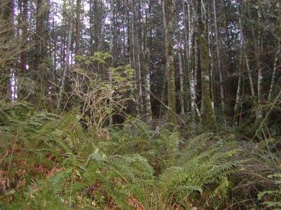 short path |
 i'm walking in the wrong direction. oh well |
 dam! |
 it looks kinda small, not sure it would actually work |
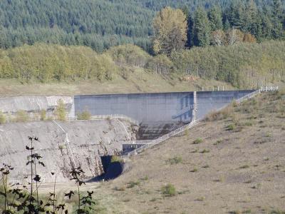 but i'm not an engineer, so i don't know anything |
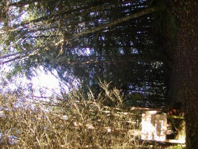
 just trees |
 fall colors starting to change |
 i forget why i took this |
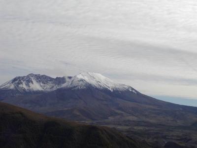
 last shot of the mountain |
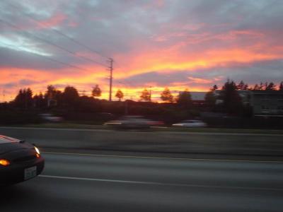 sunset |
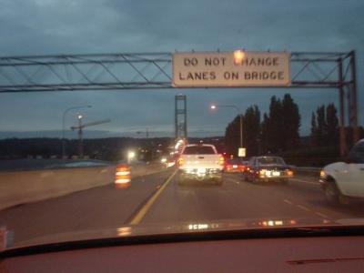 back over the bridge |
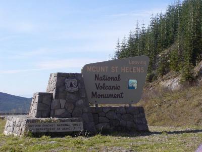 bye! |
| previous page | pages 1 2 3 4 5 6 7 8 ALL | next page |
| comment | share |