


|
|
|
|
|
|
| taboo5 | profile | all galleries >> Taiwan >> Taroko National Park and Taroko Gorge (May 2013) | tree view | thumbnails | slideshow |
 Taroko National Park and Taroko Gorge cover page. |
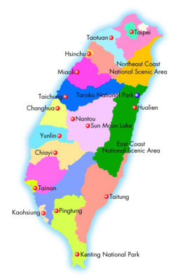 Map of Taiwan with the blue dot indicating Taroko National Park. |
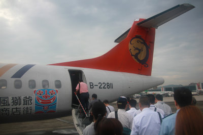 To get to Taroko National Park, we had to fly to Hualien from Tapei. Passengers boarding our TransAsia Airways flight. |
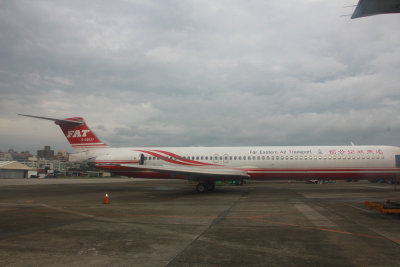 I was amused by this Far Eastern Air Transport (FAT) plane. |
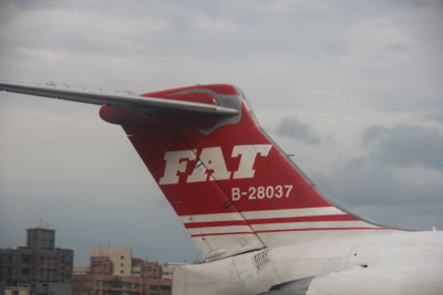 Close-up of the FAT logo on the tail of the plane. |
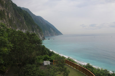 The Cinqshui Cliffs facing the Pacific Ocean is known as Taiwan's 8th Wonder of the World. |
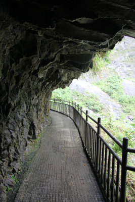
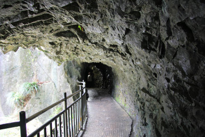
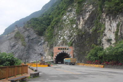 We passed through this tunnel on the Su-Hua Highway to get to the Cinqshui Cliffs. |
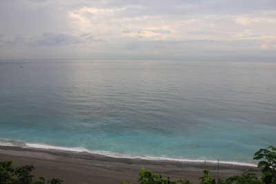 View of the Pacific Ocean, below. |
 The cliffs span 21 kilometers (13 miles) and are an average of 800 meters (2,625 feet) above sea level. |
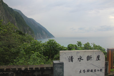 The cliffs were formed over millions of years by the pressure of layers of rock compressing limestone into marble. |
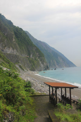 Small roofed structure on the beach below. |
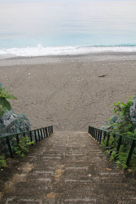 Steps leading down to the beach. |
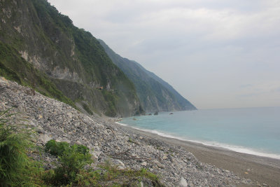 Many rocks fall from the cliffs onto the beach. |
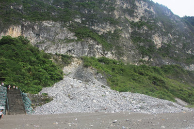 More fallen rocks on the beach. |
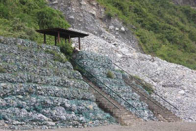 Some of the rocks below are wrapped in chicken wire to keep them off of the beach. |
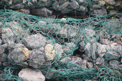 Close-up of the wrapped rocks. |
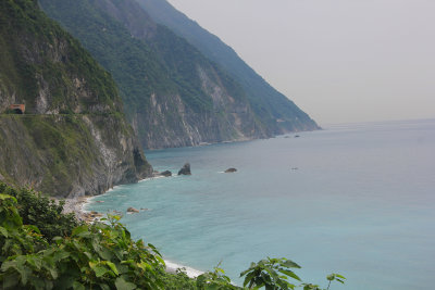
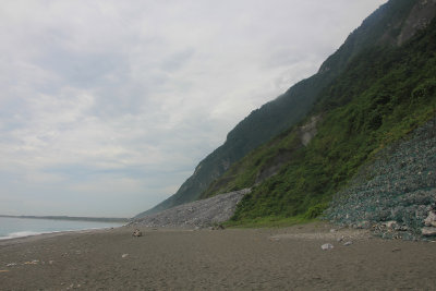 View of the beach beneath the Cinqshui Cliffs. |
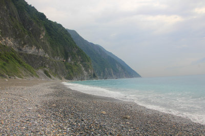 While there was sand, it was quite rocky. |
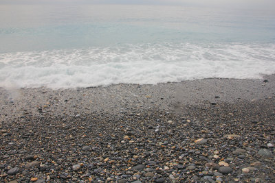 Rocks on the beach with a wave washing in. |
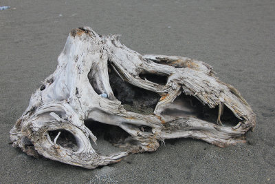 An interesting piece of driftwood that was on the beach. |
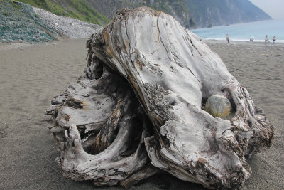 Another view of the driftwood. |
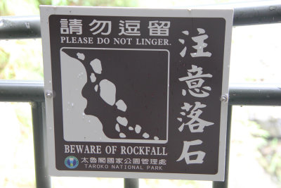
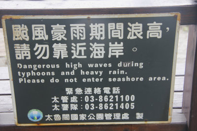 This sign by the beach would also apply to tsunamis! |
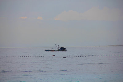 A fishing boat that was offshore. |
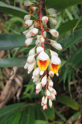 While climbing back up the trail from the beach, I admired this plant, which my guide described as a Moon Peach plant. |
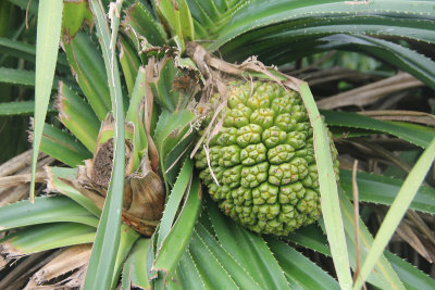 My guide said that this plant is called a Lin Tou. It is a non-edible fruit. |
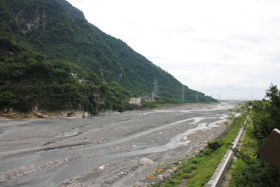 Lakebed in Taroko National Park. |
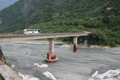 Bridge crossing the lakebed. |
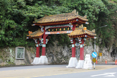 The Taroko Gateway, which is the entrance to the East-West Cross Island Highway. |
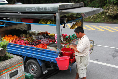 A fruit vendor with his truck were, nearby. |
 The fruit vendor's helper was sitting in the front seat of his truck. |
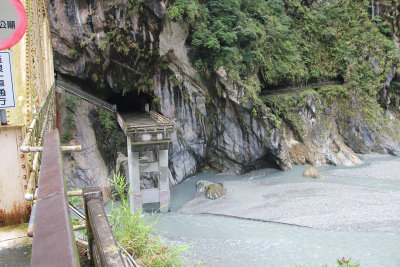
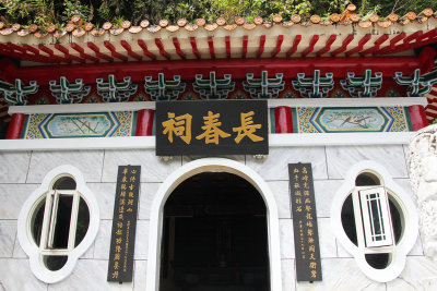
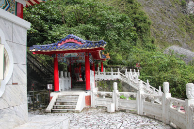
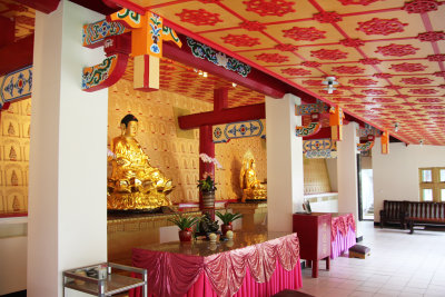
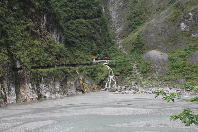 As we drove along the East-West Cross Island Highway, our first stop was at the Eternal Spring Shrine. |
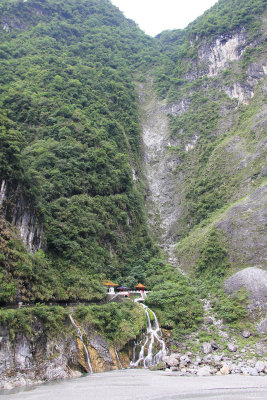 The Eternal Spring Shrine is deep within Taroko Gorge. |
 Close-up of the shrine. It commemorates the 212 veterans who died while constructing the highway (1956-1960). |
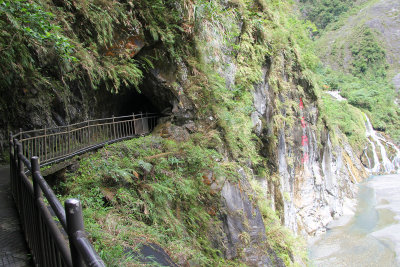
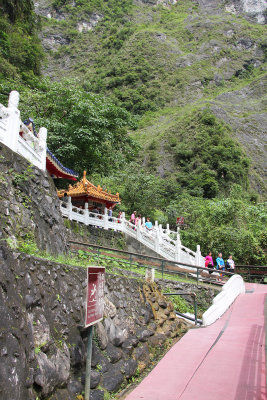
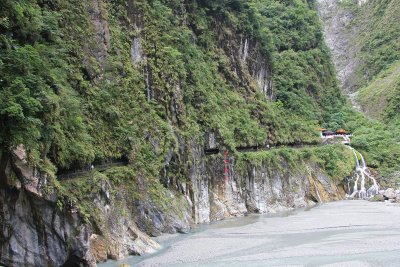 To get to the shrine, you have to walk on a path along the cliff near the base of the gorge. |
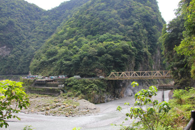
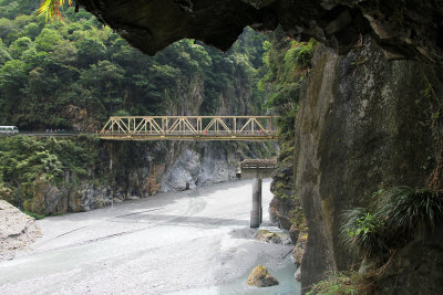
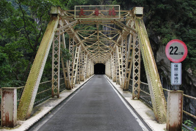 East-West Cross Island Highway Changchun Bridge that I walked over to get to the Eternal Spring Shrine. |
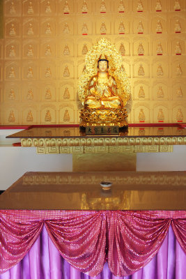
 View from the bridge. On the platform ahead were some Buddhist statues. |
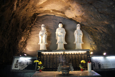 Three Buddhist statues on the way to the shrine. |
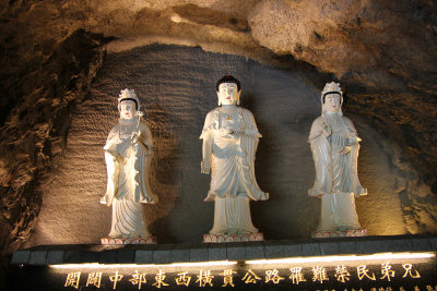 Close-up of the statues. |
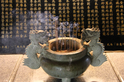 Dragon incense burner below the statues. |
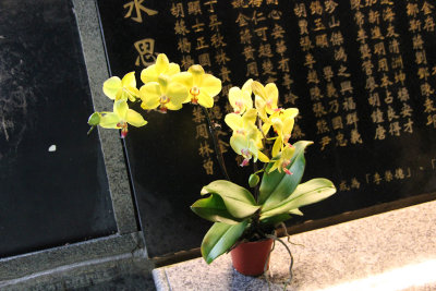 Next to the incense burner were some orchids. |
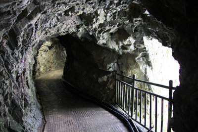
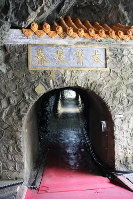 From the statues, I went through this tunnel to get to the Eternal Spring Shrine. |
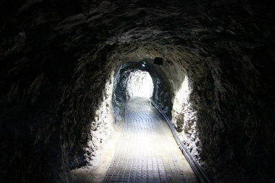 Interior of the tunnel. |
 After exiting the tunnel, I proceeded on the the path along the cliff. |
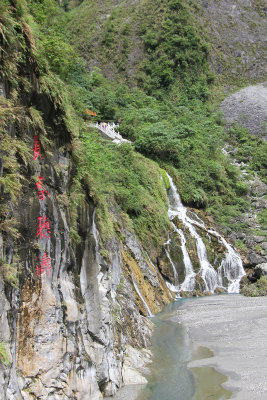 View of the flowing water ahead of me. |
 I got to another tunnel through the rocks. |
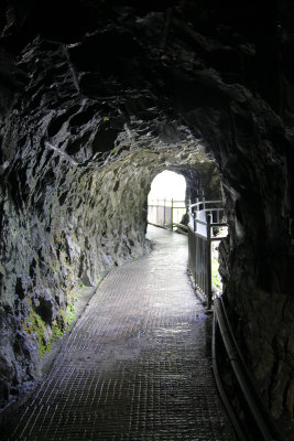 Interior of this section of tunnel. |
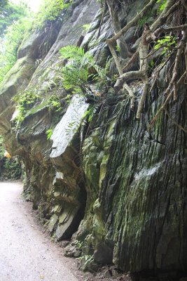
 Here, you can see the precipitous cliff and how the path was carved into it. |
 Sign along the path. |
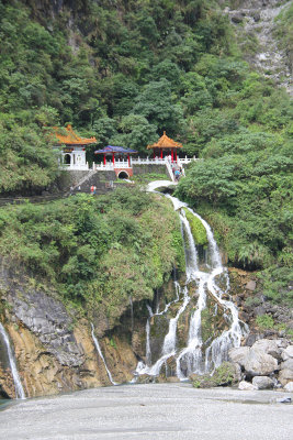
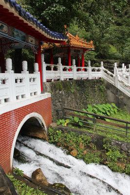
 I finally got to the Eternal Spring Shrine. |
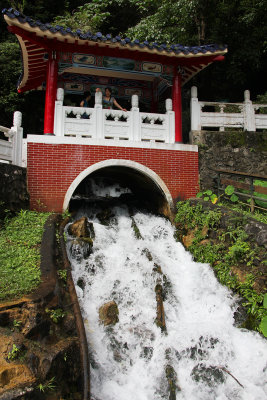 Water flowing through the shrine (which is the reason for its name). |
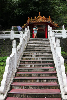 Steps leading up to the shrine. |
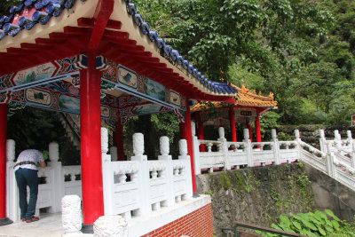
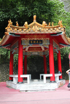 Small roofed structure at the shrine. |
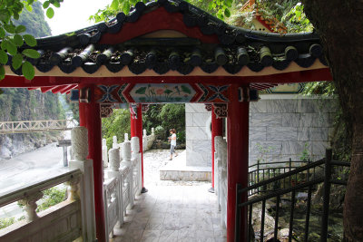 View as I walked through the shrine. |
 The main building was in front of me. |
 Entrance to the main building. |
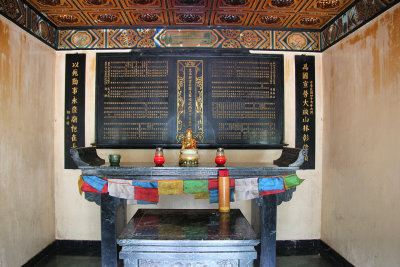 Small alter with Buddhist statue and candles. |
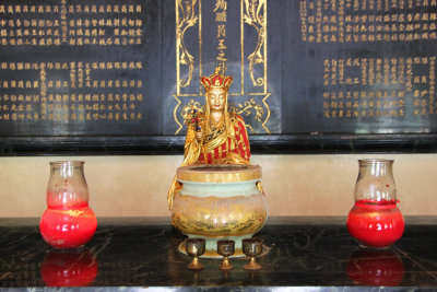 The alter was beautiful in its simplicity. |
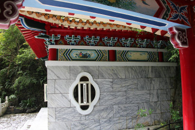
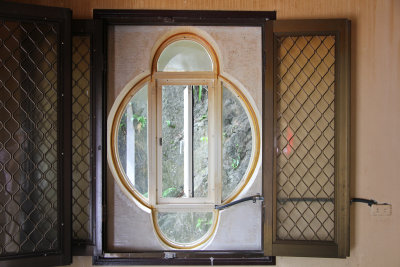 Interestingly-shaped window in the shrine. |
 Another view of the Eternal Spring Shrine. |
 The gushing water as seen from the shrine. |
 I admired the detailed carvings on the white railings. |
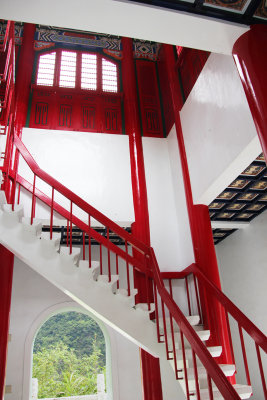
 You can see where I walked (from all the buses) to get to the shrine. |
 I walked back on the same path along the cliff after leaving the shrine. |
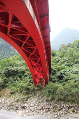
 Great view ahead of the Changchun Bridge and of the gorge. |
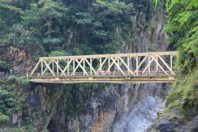 Close-up of the bridge, which was part of the amazing feat of the East-West Cross Island Highway. |
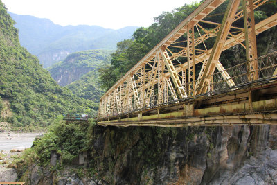 Looking up at the Changchun Bridge from the path below. |
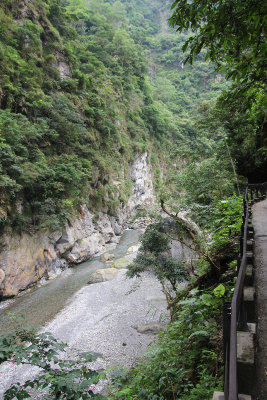
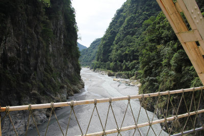 View of Taroko Gorge from the bridge. |
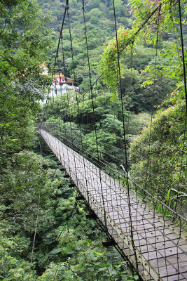
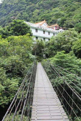 Next, I went on a trail with a narrow suspension footbridge that traverses over the Liwu River Gorge in Taroko National Park. |
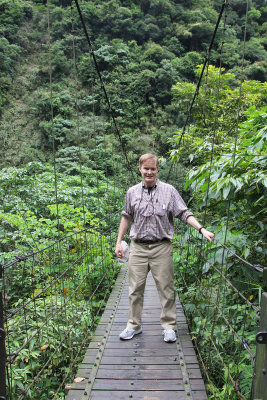 Me crossing the footbridge. It is not for the faint of heart! |
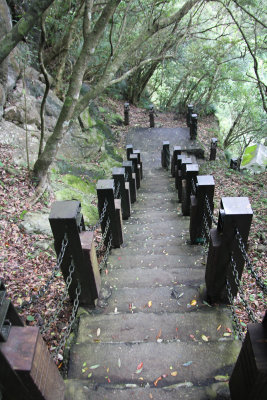
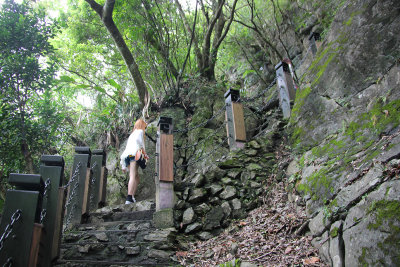 Steep trail that leads up to the Bell Tower that overlooks Liwu River Gorge. |
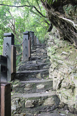 The trail is called the "Eternal Spring Shrine Trail," since it goes from the shrine to the Bell Tower and the Changuana Temple. |
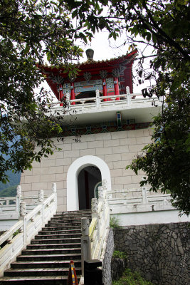 Finally, after a steep climb, I arrived at the Bell Tower. |
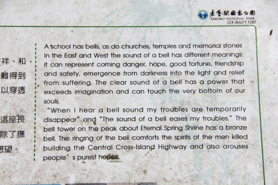 Sign in front of the Bell Tower describing the significance of bells. |
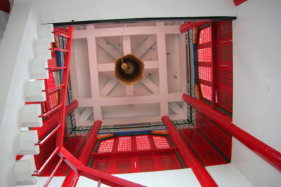 View looking from inside of the tower up at the bell. |
 Stairs that lead up to the bell. |
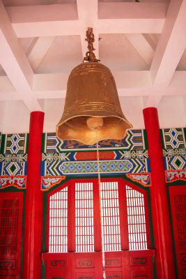 View of the bell from the top of the Bell Tower. |
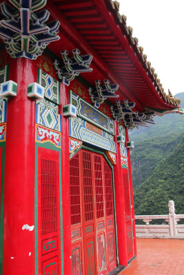 Traditional Chinese architectural style of the tower. |
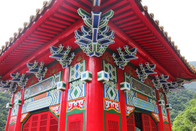 View of the elaborate decorations and designs on a corner of the tower. |
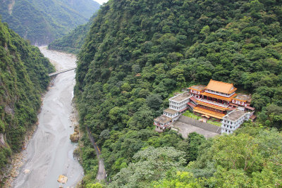 View from the Bell Tower of the Liwu River Gorge and Changuana Temple. |
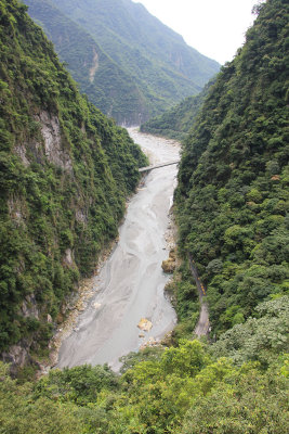 Close-up of the Liwu River Gorge. |
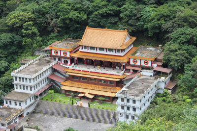 Close-up of Changuana Temple. |
 View of the trail as I headed down from the Bell Tower. |
 Again, I crossed the suspension footbridge on my way back. |
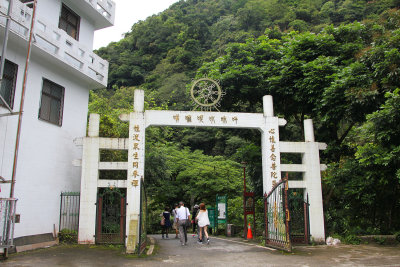 My next stop was to the Changuana (Buddhist) Temple. Entrance gate of the temple. |
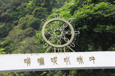 Interesting design on top of the gate. |
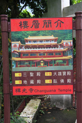 Sign at the entrance of the Changuana Temple in Taroko National Park. |
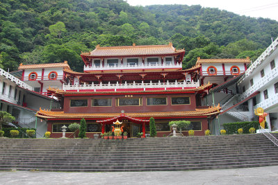 Front façade of the temple, which is an old, secluded Buddhist monastery.. |
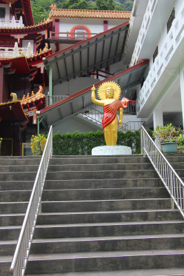 Buddhist statue at the top of the temple steps. |
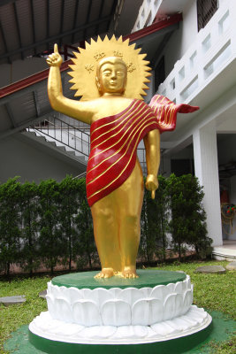 Close-up of the statue. |
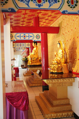 Interior, first floor view of Changuana Temple. |
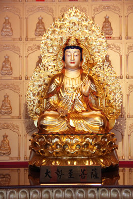
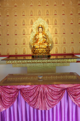 One of the many beautiful golden Buddhist figures in the temple. |
 Close-up of the figure. |
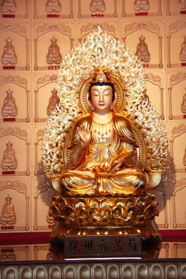
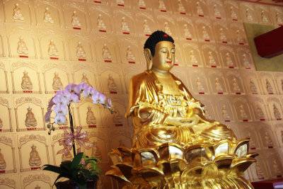
 Another exquisite Buddhist statue. |
 Close-up of the statue. |
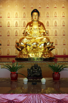
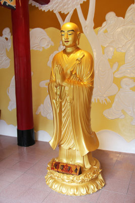
 A third golden figure on the first floor of the temple. |
 Close-up of the figure. |
 The interior architecture of the temple was equally beautiful. |
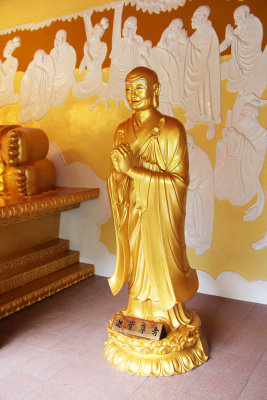
 Another Buddhist statue on the second floor of Changuana Temple. |
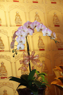 View of the orchid next to the statue. |
 Bird, dragon and lion decoration in the temple. |
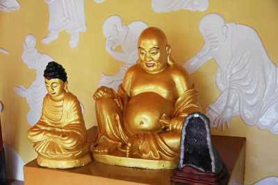 A "Happy Buddha" in the Changuana Temple. |
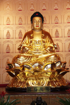
 Another beautiful golden statue in the temple. |
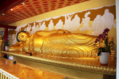 A magnificent "Reclining Buddha" figure in the Changuana Temple. |
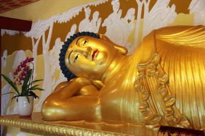 View of the upper body. |
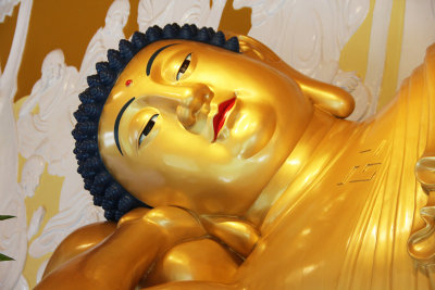 Close-up of the head. Note the long earlobes. |
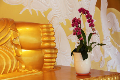 View of Buddha's feet. |
 Another Buddhist statue looking devout with clasped hands. |
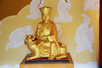 A golden figure with a dog. |
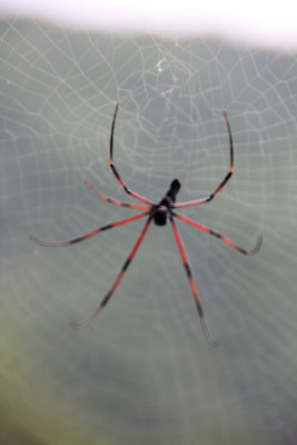 As I left the temple, I saw a spider and spider web. The guide called it a "human face spider," which is indigenous to the area. |
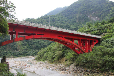
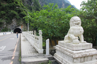 We drove through Jiuqudong Tunnel (Nine Turns Tunnel), the most spectacular part of Taroko Gorge, to get to Tzumu Bridge. |
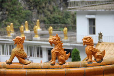
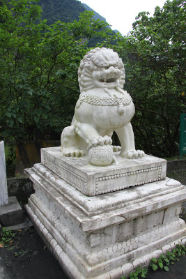 Lion statue at the end of the Tzumu Bridge. |
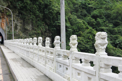 There are other smaller lion statues along the railing of the bridge. |
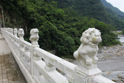 Each of the lions are different. |
 All of the lions have a lot personality. |
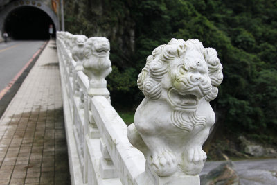
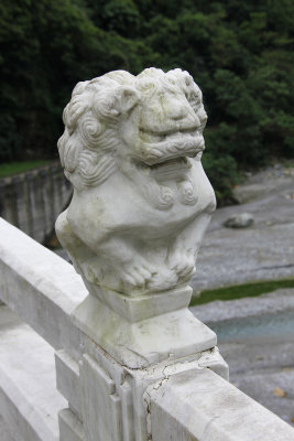 Close-up of one of the lion statues. |
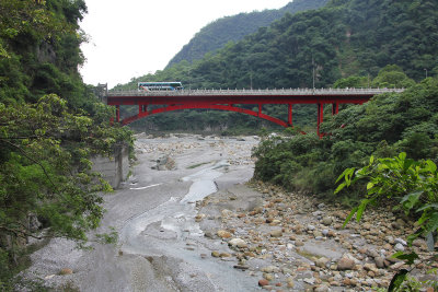
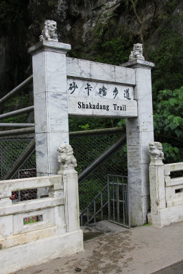 Entrance to the Shakadang Trail from the Tzumu Bridge. The trail follows the Shakadang River in Taroko Gorge. |
 The Shakadang Trail as seen from the Tzumu Bridge. |
 View of the Tzumu Bridge from the Shakadang Trail. |
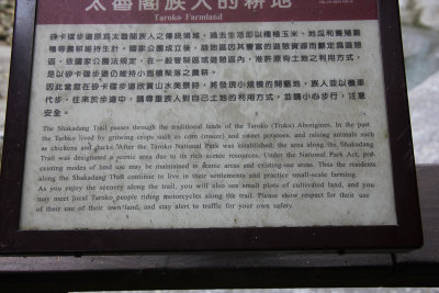 Sign describing how the Shakadang Trail passes through traditional lands of Taroko (Truko) Aborigines. |
 Another view of the Tzumu Bridge from the Shakadang Trail. |
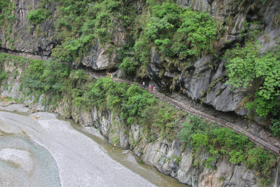
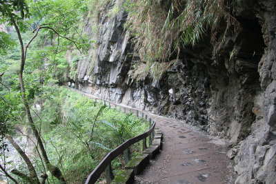 Section of the Shakadang Trail. |
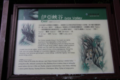 Sign describing how the Taroko Aborigines are detail oriented and describing the topography of the trail. |
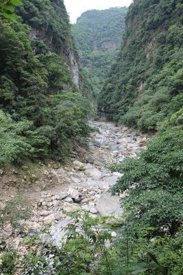 View of the Shakadang River passing through the gorge along the trail. |
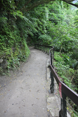 There was a lot of lush foliage along the Shakadang Trail. |
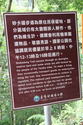 Another sign on the trail describing the area as a reserve land for the Taroko tribe of Aborigines. |
 I was hiking further away from the Tzumu Bridge. |
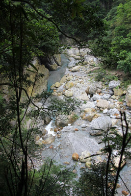 Another section of the river along the trail. |
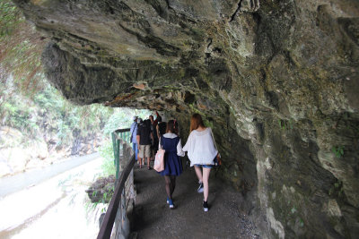 Other hikers along the Shakadang Trail. In some places, it was necessary to duck. |
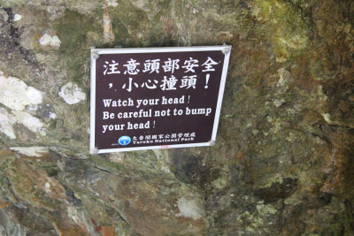 Sign reminding people to watch their heads. |
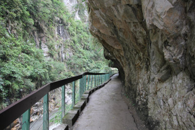 A bucolic section of the trail. |
 Another Shakadang River view from the Shekadang Trail. |
 Interesting striations on the rock along the trail. |
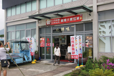 Our next stop was at a local factory where they sold food, beverages and cosmetics. |
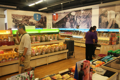 I bought some hand-made collagen soap to bring back as a souvenir for friends. |
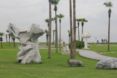 Our next stop was to Stone Sculpture Park, which is located along the Pacific Ocean. |
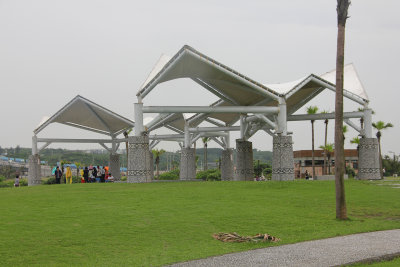 It was raining, so these sheltered us from the rain. |
 This sculpture is entitled, "Greeting the Wind." |
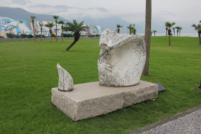 This sculpture is entitled, "Flower and Dog." |
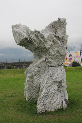
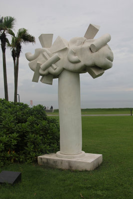 This sculpture is entitled, "Permanence." |
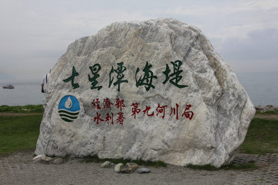 Rock with Chinese writing and a logo in Stone Sculpture Park. |
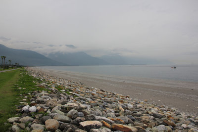 The beach at the park with a view of the mountains of Taroko National Park and the Pacific Ocean. |
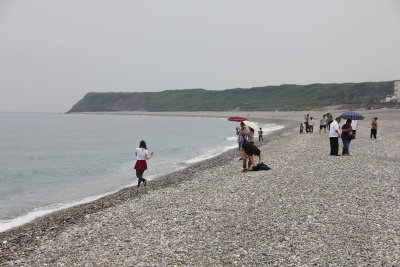 People enjoying the beach even though it was raining. |
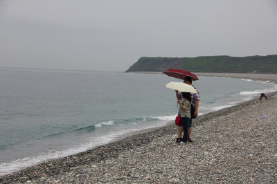 They had their umbrellas up. |
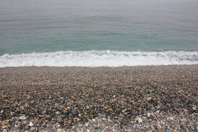 Surf on the rocky beach. |
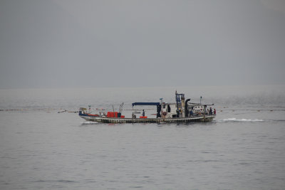 A fishing boat offshore. |
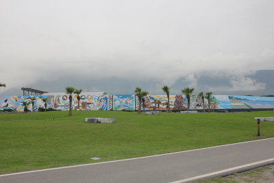 A long mural at Stone Sculpture Park. |
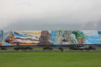 Close-up of a section of the mural. |
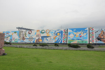 Another section of the mural. |
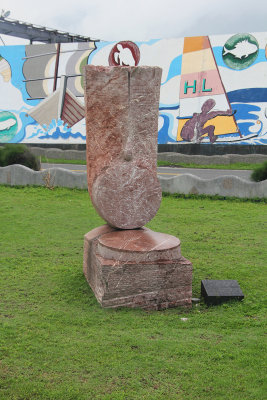 This sculpture in front of the mural is entitled, "Lotus an Imperial of the Sun." |
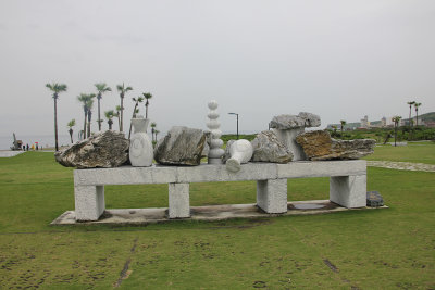 Another unusual sculpture at Stone Sculpture Park entitled, "Gratification" |
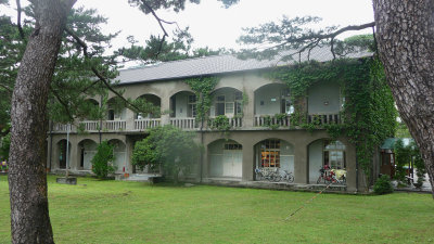 Our last stop of the day was to Pine Garden. |
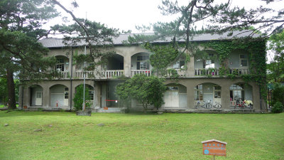 During the Japanese occupation during WWII, they used it as a command center to plan kamikaze attacks against the United States. |
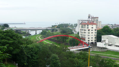 View of Hualien City from Pine Garden. |
| comment | share |