photo sharing and upload picture albums photo forums search pictures popular photos photography help login
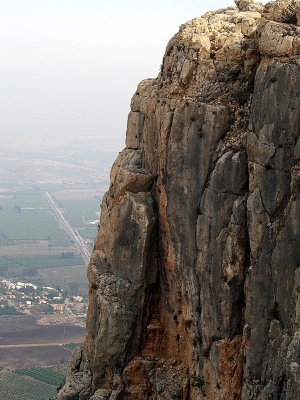
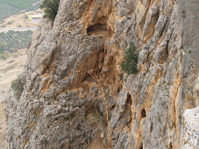
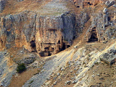
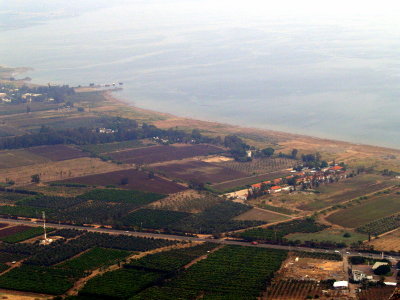
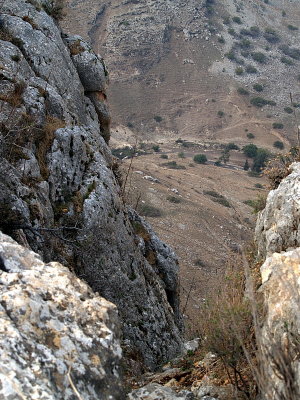
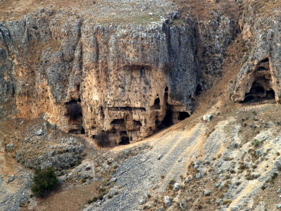
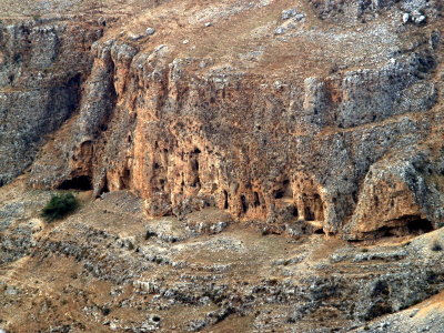
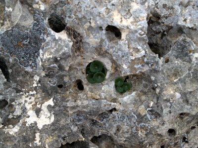
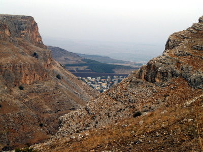
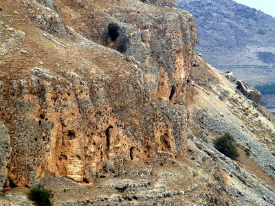
Susan Gordon | profile | all galleries >> Israel - The Galilee area >> Har Arbel (Mount Arbel) tree view | thumbnails | slideshow

Har Arbel (Mount Arbel)

from Wikepedia: Mount Arbel (Hebrew: הר ארבל‎, Transliteration: Har Arbel) is a mountain in The Lower Galilee near Tiberias in Israel, that has split into two after an earthquake. The other half of is Mt. Nitai. On the mountain there are four settlements: Kfar Zeitim, Arbel, Kfar Hittim, and Mitspeh. The peak, at 282 meters above sea level (481 meters above the surrounding area), dominates the entire surroundings (much of the area is below sea level) and from the lookout atop the mountain, one can see almost all of the Galilee into the Golan Heights including Safed, Tiberias and most of the Sea of Galilee.

Near the mountain remain the ruins of an ancient Jewish settlement including a Synagogue from the fourth century C.E. with extend pews and columns, and dug into the mountain itself are a number of cliff dwellings. The extant cliff dwellings are from the 17th century and were built by the Druze though there are documented Jewish cliff dwellings dating back to the Second Commonwealth in the area. Josephus writes about the Roman conquest of some of the last Hasmonean rebels who dwelt in the cliffs of Mt Arbel.
PB293683.JPG
PB293683.JPG
PB293684.JPG
PB293684.JPG
PB293690.JPG
PB293690.JPG
PB293691.JPG
PB293691.JPG
PB293692.JPG
PB293692.JPG
PB293693.JPG
PB293693.JPG
PB293694.JPG
PB293694.JPG
PB293699.JPG
PB293699.JPG
PB293705.JPG
PB293705.JPG
PB293706.JPG
PB293706.JPG
PB293708.JPG
PB293708.JPG
PB293709.JPG
PB293709.JPG
PB293713.JPG
PB293713.JPG
PB293714.JPG
PB293714.JPG
PB293715.JPG
PB293715.JPG
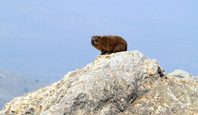
arbel rock hyrax.JPG
PB293693.JPG
PB293693.JPG
PB293711.JPG
PB293711.JPG