


|
|
|
|
|
|
| stevelove | profile | all galleries >> Galleries >> rockandridewa | tree view | thumbnails | slideshow |
| previous page | pages 1 2 ALL | next page |
 001 Mikes check out.JPG |
 004 Sign the rental agreement.JPG |
 006 Its my Harley now.JPG |
 008 Greenwater.JPG |
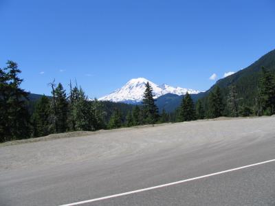
 009 Mt Rainier from Hwy 410.JPG |
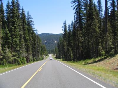
 012 Valley on the way down from Chinook Pass.JPG |
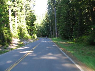
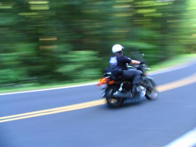
 013 Hwy 410 heading to Naches.JPG |
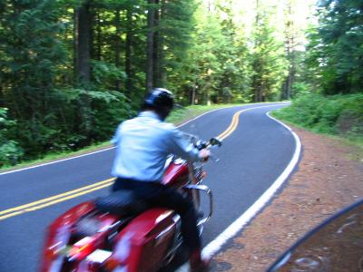
 014 Look whos following me.JPG |
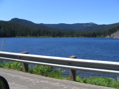
 016 Rimrock Lake Hwy 12.JPG |
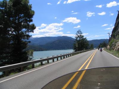
 019 Rimrock Lake.JPG |
 020 Mt Rainier from Hwy 12.JPG |
 022 Mt Rainier.JPG |
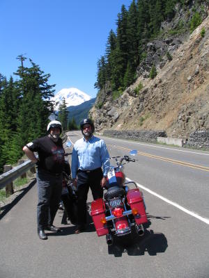 024 Mike and Len and Mt Rainier.JPG |
 027 FSR 25 South of Randle WA.JPG |
 029 Mt St Helens from FSR 99 viewpoint.JPG |
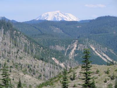 031 Mt Adams.JPG |
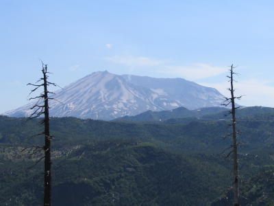
 035 Mt St Helens from Harmony viewpoint.JPG |
 037 Spirit Lake.JPG |
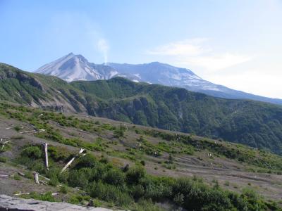 038 St Helens from Windy Ridge.JPG |
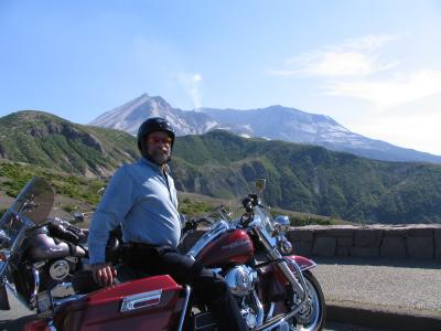 041 Mike and Mt St Helens.JPG |
 043 Descending from Windy Ridge FSR 99.JPG |
 047 Len zooms by on FSR 30.JPG |
 048 Mike zooms away on FSR 30.JPG |
 050 FSR 30 to Carson.JPG |
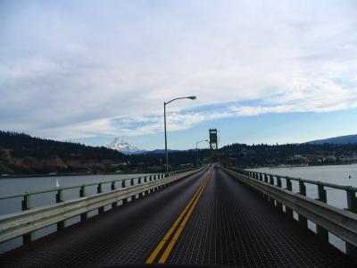 051 Hood River Bridge and Mt Hood.JPG |
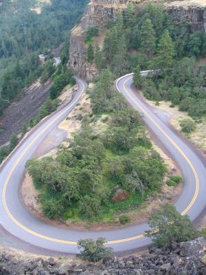 056 Old Hwy 30 Oregon at Rowena Crest.JPG |
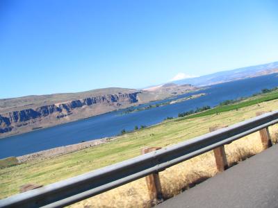
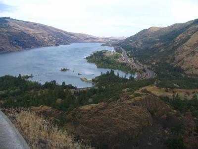 057 Looking upstream Colombia from Rowena Crest.JPG |
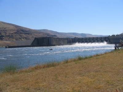
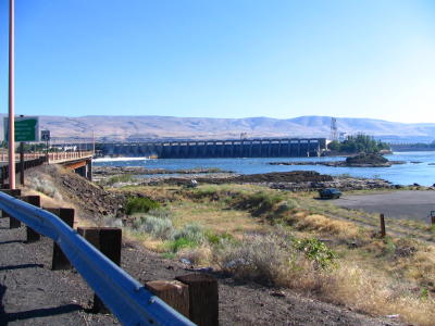 059 The Dalles Dam leaving Oregon.JPG |
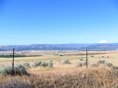 062 Mt Hood from Hwy 14.JPG |
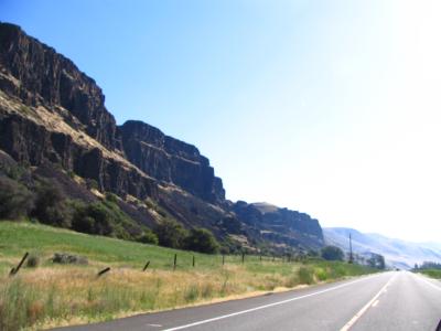
 063 WA Geologic formations on Hwy 14.JPG |
 064 WA Geologic formations on Hwy 14.JPG |
 065 OR Geologic formation and Colombia river.JPG |
 068 Stonehenge memorial near Maryhill.JPG |
 071-1 Bickleton Hwy.jpg |
 074 Len and Mike on Bickleton Hwy.JPG |
 076 Hwy 221 Wheat field.JPG |
 082 OR Hwy 204 near Tolegate looking south.JPG |
 085 Hillside OR Hwy 204.JPG |
 088 OR hwy 82 near Wallowa.JPG |
 092 WA hwy 129.JPG |
 093 WA hwy 129.JPG |
 094 WA hwy 129.JPG |
 097 WA hwy 129 farmhouse near Anatone.JPG |
 100 WA hwy 129 Snake River view from above Asotin.JPG |
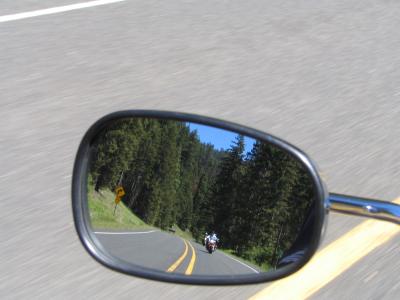
 101-1 Hwy 12 Snake River Mirror.jpg |
 104 Lower Granite Dam closed on weekends - Dam.JPG |
 106 Len and Mike at Lower Granite Dam.JPG |
 107 WA hwy 23 geology east of Sprague.JPG |
110 Grand Coulee Dam.jpg |
 111 View east from room at Sun Mountain Lodge.JPG |
 113 Len Mike and Steve ready to leave Sun Mountain Lodge.JPG |
 115 WA hwy 20.JPG |
 122 Len leading WA hwy 20.JPG |
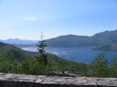
 123 Ross Lake WA hwy 20.jpg |
 125 Len Mike and Steve at Ross Lake.JPG |
 127 Diablo Resevoir WA hwy 20.JPG |
129 Water falls WA hwy 20.jpg |
 130 Mt Baker from South Skagit Hwy.JPG |
 131 South Skagit Hwy.JPG |
| previous page | pages 1 2 ALL | next page |
| comment | share |