


|
|
|
|
|
|
| Mike Staudenmaier, Jr. | profile | all galleries >> Galleries >> Capitol Reef | tree view | thumbnails | slideshow |
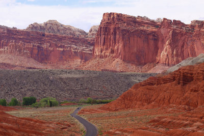 Entering the Park |
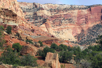 The Reef |
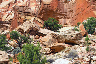 Base of a Cliff |
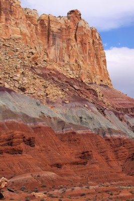 Layers of Color |
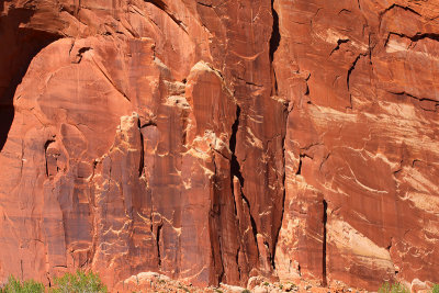
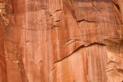 Sandstone Face |
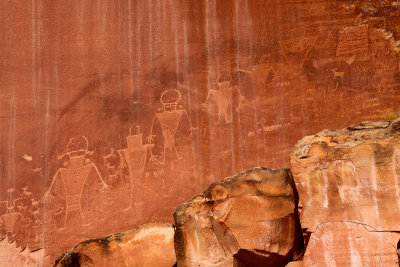 Petroglyphs |
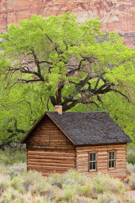 Fruita School House |
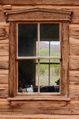 Window to Learning |
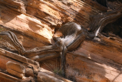
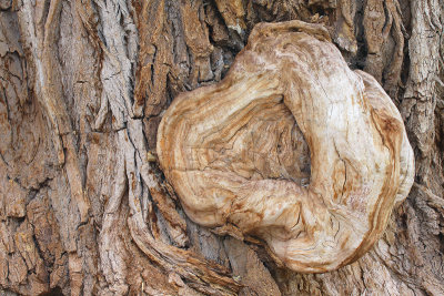 Cottonwood Gnarl |
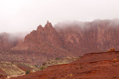 Emerging from the Clouds |
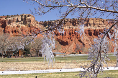 Early Morning Ice |
 Eroding Sandstone |
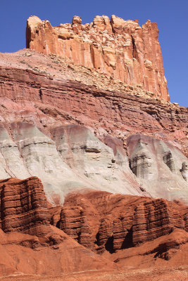 The Castle |
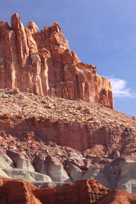 Another View of the Castle |
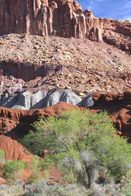 At the Base of the Castle |
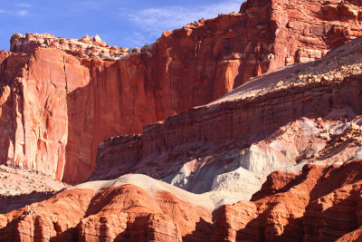
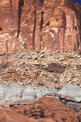 Geological Layer Cake |
 Fruita Farm |
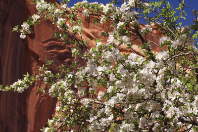 Apple Blossoms in April |
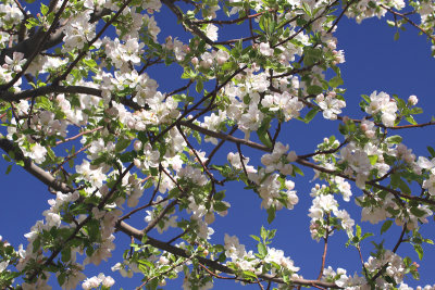 Looking Up |
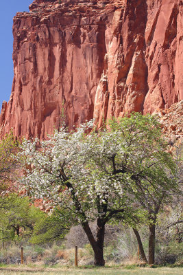
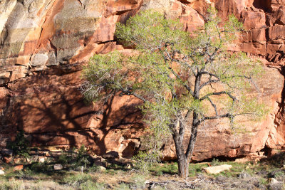
 Apple Tree Beneath the Cliffs |
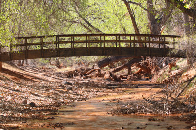 A Quiet Place |
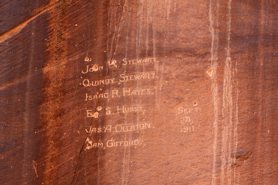
 Etched in Stone |
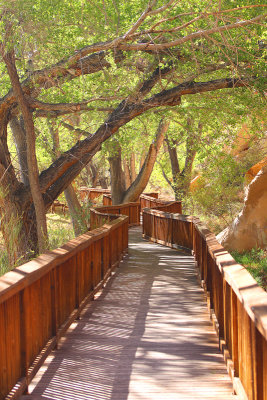 Walking Under the Cottonwoods |
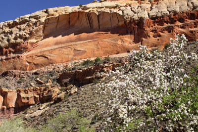
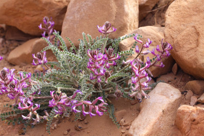
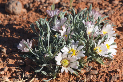 Flowers in the Desert |
 Against the Cliff |
 Light and Shadow |
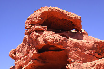
 Nestled in the Rocks |
 Fremont Petroglyphs |
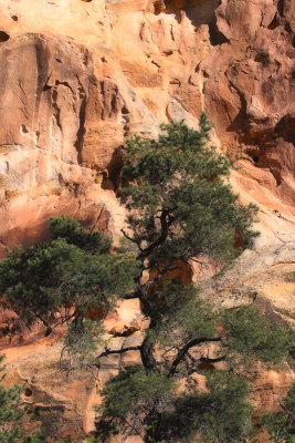
 Holding Steady |
 On the Way Out |
| comment | share |
| Frankie | 10-Dec-2015 20:09 | |
| Barry McCartney | 22-Jan-2015 22:51 | |