


|
|
|
|
|
|
| Photos by Paul | profile | all galleries >> A FEW NIFTY GALLERIES >> THE MOUNT ST. HELENS AFTERMATH . . | tree view | thumbnails | slideshow |
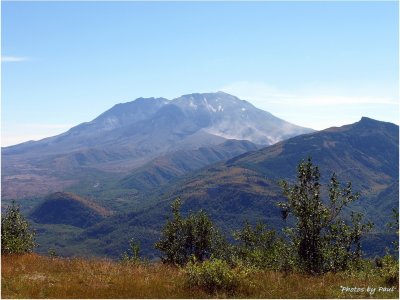
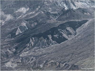
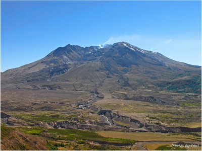
 THE CALDERA . . . IN THE BACKGROUND . . |
 THERE WAS 230 SQ MILES OF THIS ! |
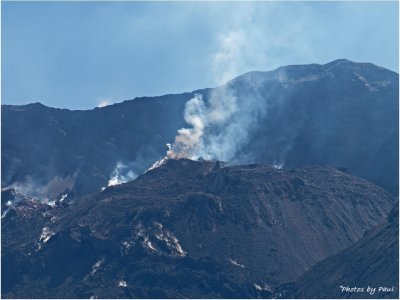
 SOME PYROCLASTIC FLOW . . |
 A CONTRAST . . . |
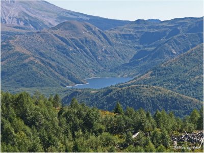 SPIRIT LAKE |
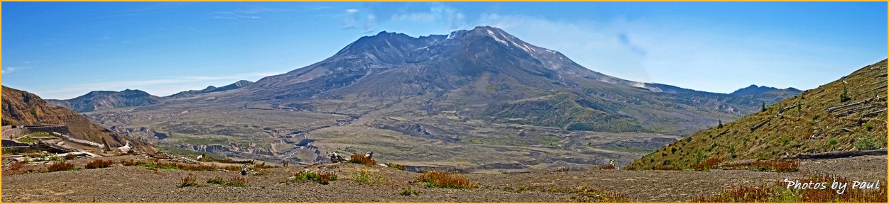
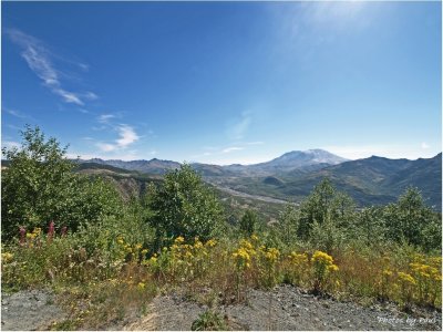 A WIDE ANGLE VIEW . . . |
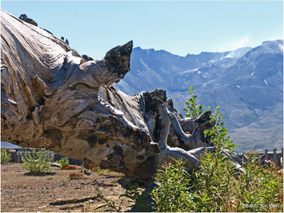
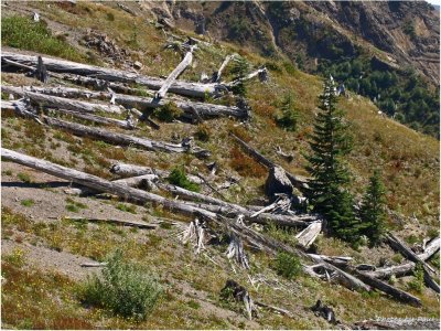
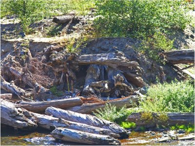 PUMICE AND LOGS . . . |
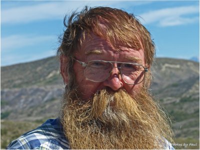
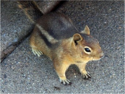 "Did someone call me ?" |
 PUMICE . . |
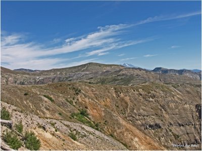 MT. ADAMS . . . BEHIND THE BARREN LANDSCAPE |
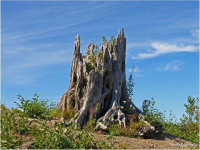
 NEW GROWTH . . |
 THE NORTH FACE . . |
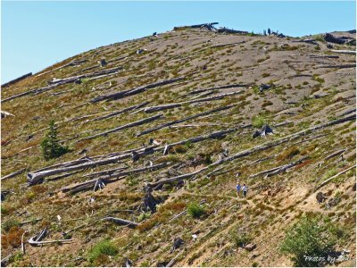
 ONE OF *MANY* |
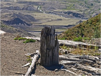
 ERODING PUMICE . . |
 10 MILES DISTANT, AND . . . |
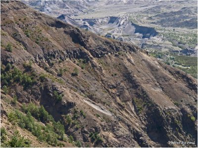 MORE GEOLOGY . . |
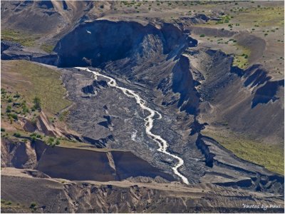
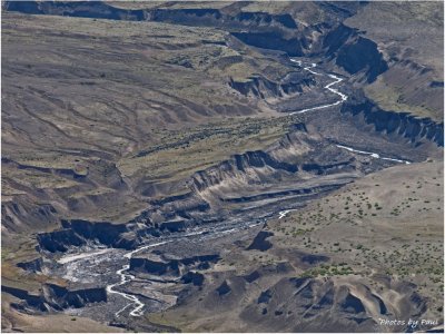
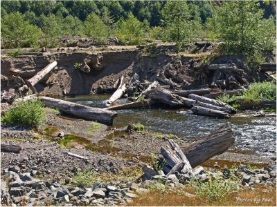 ANOTHER RIVER . . . |
 "I WAS HERE BACK THEN !" |
 "CALDERA - 2007" |
27 YEARS LATER . . . . . . IN LATE SUMMER . |
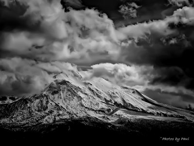 MT. ST. HELENS IN THE WINTERTIME |
| comment | share |
| Photos by Paul | 20-Sep-2011 17:22 | |
| Fay Stout | 16-Jul-2011 19:57 | |