


|
|
|
|
|
|
| Steve Taylor | profile | all galleries >> Scenes >> The Palouse | tree view | thumbnails | slideshow |
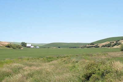
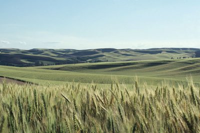
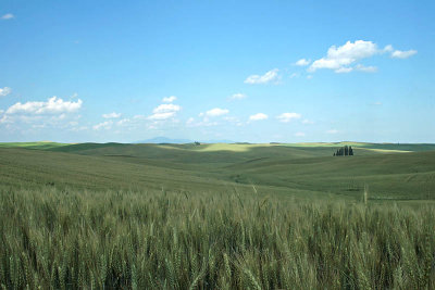
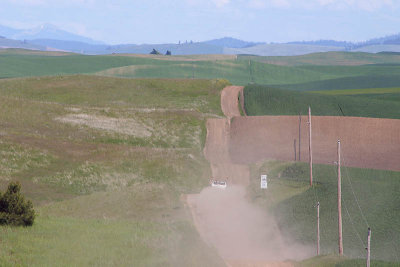
The Edge of the Palouse |
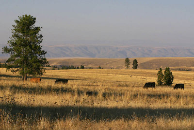 Cattle in Afternoon Sun - Cloverland |
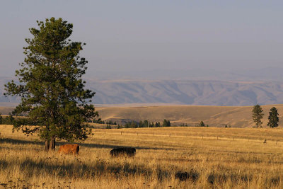 Cattle in Afternoon Sun - Cloverland |
 Near Dusty |
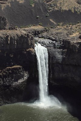 Palouse Falls |
 Along Union Flat Creek |
 Along Union Flat Creek |
 Near Ewartsville |
 Near Colfax |
 Colfax - along the Palouse River |
 Outside Colfax |
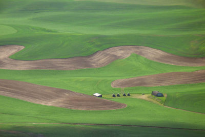
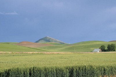 Steptoe Butte |
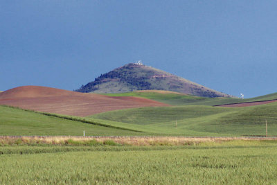 Steptoe Butte |
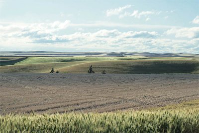
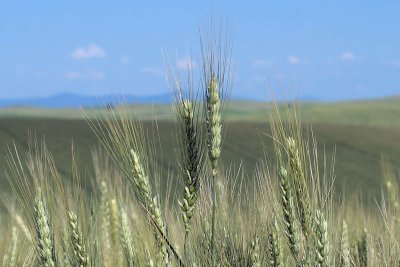 Wheat Ripening under the Palouse Sun |
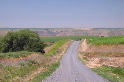
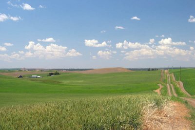
 Back Road View |
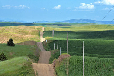 Back Road |
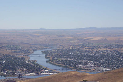 Lewiston - Clarkston |
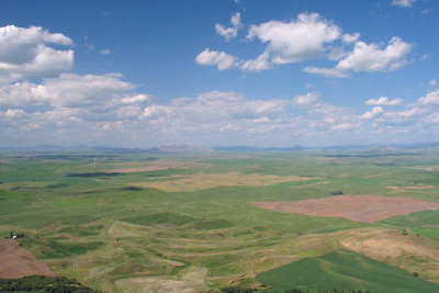
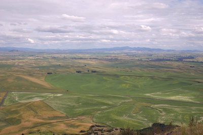 View from Steptoe Butte |
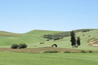
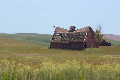 Old Barn |
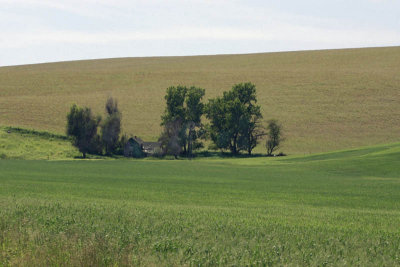 Abandoned Homestead |
 Abandoned Homestead |
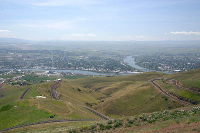 Lewiston - Clarkston |
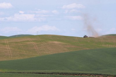 Solitary Work |
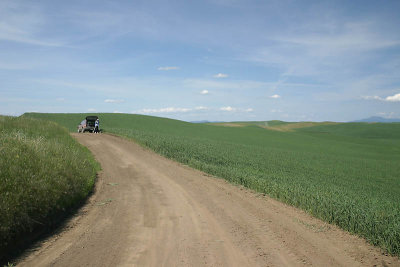 Partner in Crime |
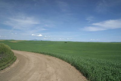 Back Road View |
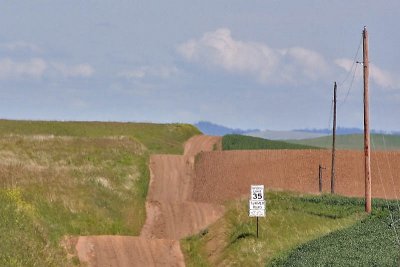 Speed Limit 35 |
 Back Road |
 Palouse Farming |
 Pea Viners |
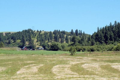
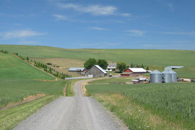 Family Homestead |
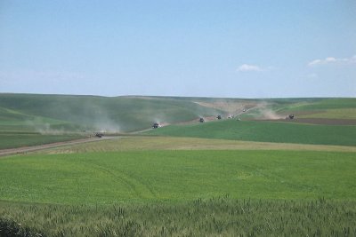 Pea Viners on the March |
 Rimrock Road |
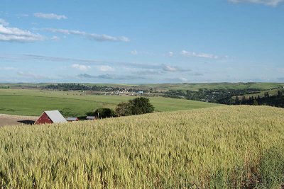
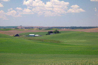
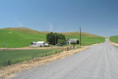 Family Farm |
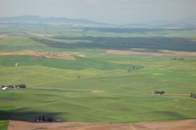 View from Steptoe Butte |
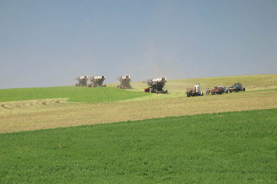
 Combines await the Harvest |
 View from Steptoe Butte |
 The Edge of the Palouse |
 The Edge of the Palouse |
| comment | share |