


|
|
|
|
|
|
| Steven Miller | profile | all galleries >> Galleries >> Lake Chapala Mexico Galleries | tree view | thumbnails | slideshow |
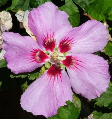
Lake Chapala Flower Gallery |
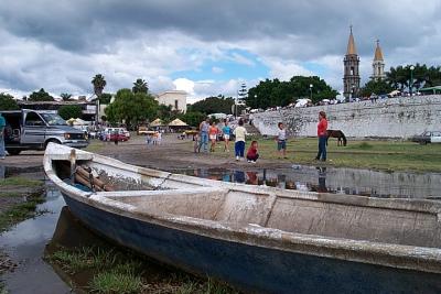
Lake Chapala, Mexico 9/28/03 |
Chapala Mexico 10/03/03 |
Chapala Mexico 10/13/2003 |

Lake Chapala Mexico 12/07/03 |
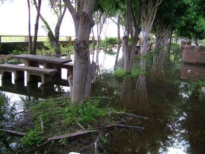
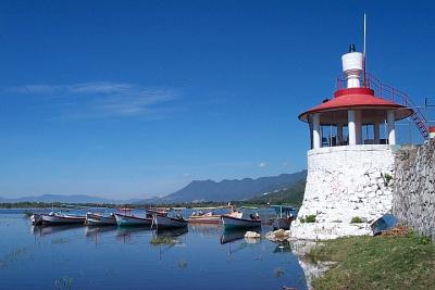
Ajijic Pier Lake Chapala Water Level 10/28/2004 |
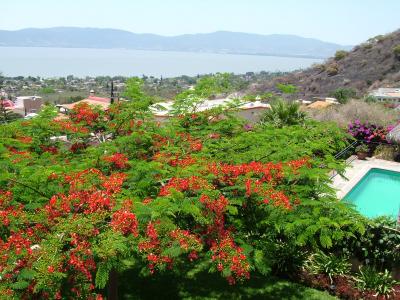
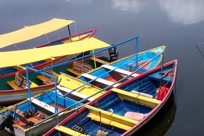
Lake Chapala - May 2005 |
| comment | share |
| Rickhoutx | 02-Oct-2006 03:21 | |
| Mike Wathen | 15-Jun-2005 19:21 | |
| John Stepp | 01-Nov-2004 13:56 | |