


|
|
|
|
|
|
| Shelby Frisch | profile | all galleries >> Galleries >> colorado | tree view | thumbnails | slideshow |
| previous page | pages 1 2 3 ALL | next page |
Jamestown Fire From NOAA Building Several images spliced together |
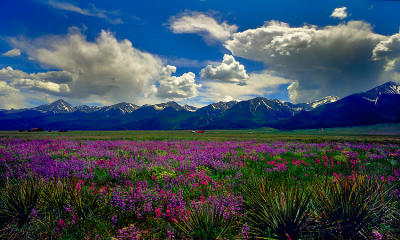
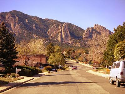 View from our street |
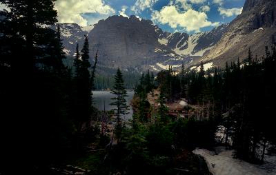
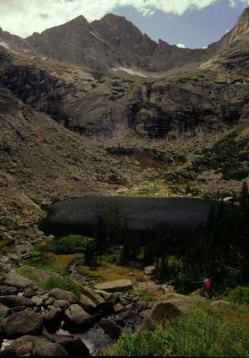 Black Lake Black Lake Rocky Mountain National Park |
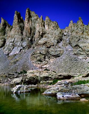
 Above Black Lake Above Black Lake Rocky Mountain National Park |
 Longs Peak Longs Peak Rocky Mountain National Park |
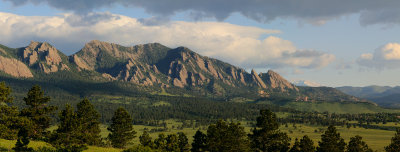
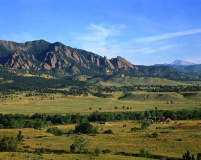 Flatirons from South Boulder Flatiorns from South Boulder
|
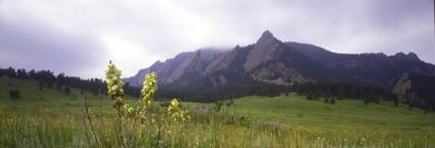 Flatirons from Chataqua |
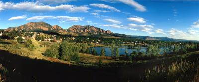 Viele Lake Boulder Colorado This is taken from the Fairview High School Parking Lot. It was taken with a panoramic camera using 120 film. It shows the Flatirons in the background. This is in South Boulder |
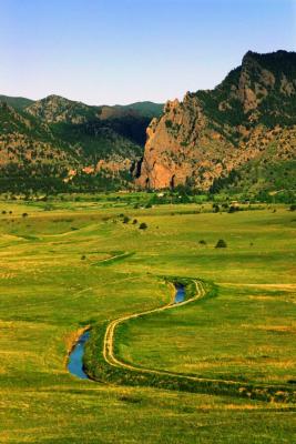 View toward Eldorado Springs Colorado |
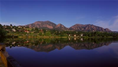
 NCAR from Viele Lake Boulder, Colorado National Center for Atmospheric Research |
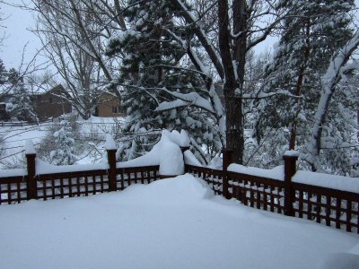
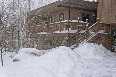
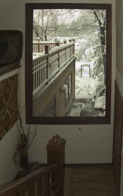 View from top of stairs Snow on April 10,2005. Looking out to back yard and deck |
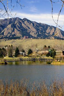
 Viele Lake View West across Viele Lake |
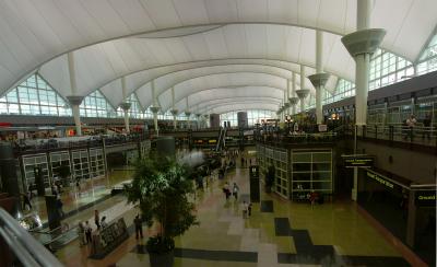 Denver International Airport Inside the main terminal building. Two pictures stitched |
 Westcliff Colorado |
 Hail Storm This storm was one of the worst in Boulder's history. We were on the edge of it. In some places, the hail stones were about 5 cm in diameter |
 The Loch Feb |
 The Loch |
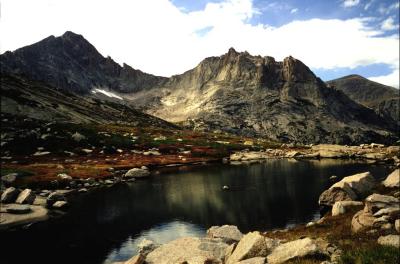
 Sky Pond |
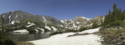
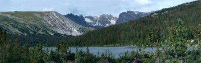 Long Lake Long Lake is in the Indian Peaks Wilderness Area Colorado. This is a panorama made with several images stitched together with PTGui. |
 Winter Sun A corner of our back yard. An experiment with the Kodak 14nx long exposure mode and a 2.0 nd filter. ISO 6. |
 snow on deck1 copy.jpg |
After the Storm |
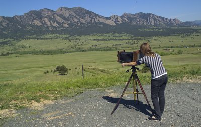 Granddaughter and view camera |
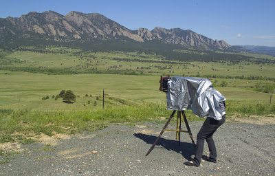 Getting the upside down view under the cloth |
 Enjoying the View at Lake Isabelle Lake Isabelle can be reached by a 2 mile hike in the Indian Peaks Wilderness Area. There was still lots of snow for this time of year. This image was stitched from 6 shots. |
Enjoying another view This is South of Boulder Colorado
|
 Before the Storm View of South Boulder from Eldorado Springs turn off. |
Another view from Viele Lake |
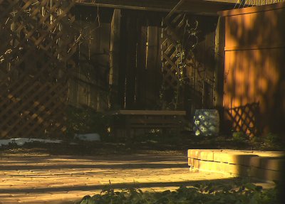
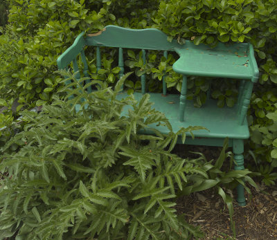 Bench An old forgotton bench |
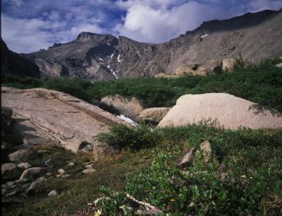
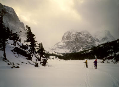
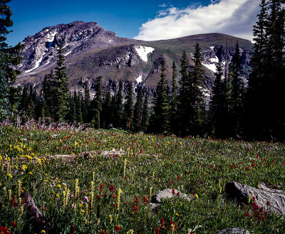
 Near Longs Peak A hike |
Back Range View |
 More Snow coming |
 Arapahoe Peak South with 8x10 view camera |
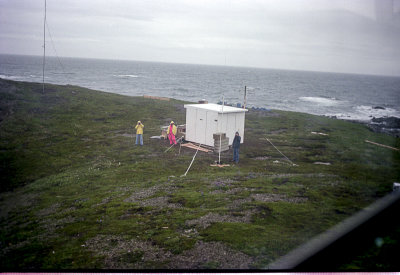 Augustine Island crew Lower Cook Inlet probably in the 1980s This was part of an experiment while I was at a research lab. We were using a special radar there for measuring ocean currents. |
| previous page | pages 1 2 3 ALL | next page |
| comment | share |
| joseantonio | 18-Jun-2020 16:02 | |
| KTF | 10-Dec-2006 18:45 | |