photo sharing and upload picture albums photo forums search pictures popular photos photography help login
LeSon Photography | profile | all galleries >> Away to ... Hawaii >> Visit ...Maui >> The Road ... to Paradise Hana tree view | thumbnails | slideshow

The Road ... to Paradise Hana

+


The Hāna Highway, also known as the Hana Belt Road, Hana Road or Road To Hana, is a 68-mile (109 km) long stretch of Hawaii State Routes 36 and 360 which connects Kahului with the town of Hāna in east Maui.

On the east after Kalepa bridge, Hana Highway continues to Kīpahulu as Route 31 (Piilani Highway), the first section of which is unofficially considered to be part of Hāna Highway. Although Hāna is only about 52 miles (84 km) from Kahului, a typical trip to Hāna takes about three hours, as the road is very winding and narrow and passes over 59 bridges, 46 of which are only one-lane bridges, requiring oncoming traffic to yield and occasionally causing brief traffic jams if two vehicles meet head-on. There are approximately 620 curves along Route 360 from just east of Kahului to Hāna, virtually all of it through lush, tropical rainforest. Many of the concrete and steel bridges date back to 1910 and all but one are still in use, which has been replaced by a parallel structure by a portable steel Bailey bridge erected by the United States Army Corps of Engineers. Signs on the old bridge warn pedestrians to stay off due to imminent collapse.

In August 2000 it was designated by President Bill Clinton as the "Hana Millennium Legacy Trail", with the trail start designated in the surfing community of Pāʻia. The Hāna Highway is also listed on the National Register of Historic Places.

The Hwy 257 Highway is a popular tourist attraction in Maui. Guidebooks often devote large sections to traveling the highway leading to the eastern side of Maui and document the many waterfalls and attractions that can be found along the way. Some of these attractions lie within or through private property and will often have "no trespassing" signs posted or even signs claiming that the attraction does not exist. All beach property in Hawaii, public or private, must allow public access. At the end of the Hwy 257 Highway (actually past Hwy 257 in a clockwise direction around eastern Maui) is the ʻOheʻo Gulch, also known as the "Seven Sacred Pools". This series of waterfalls and pools is located inside the Haleakala National Park. Presently, the dirt road just past Route 31 is open, having re-opened in early October 2008.


+ + +
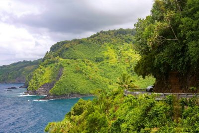
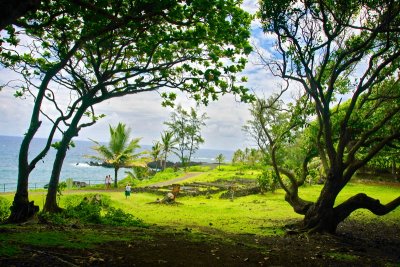
Hana Pailoa Bay IMG_9064.JPG
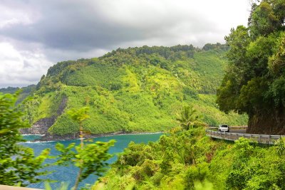
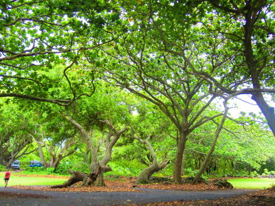
Hana Pailoa Bay.JPG
Hana Pailoa Bay.JPG
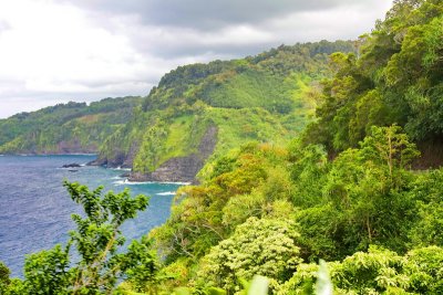
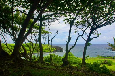
Hana Pailoa Bay IMG_9066.JPG
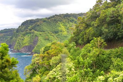
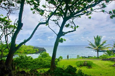
Hana Pailoa Bay IMG_9072.JPG
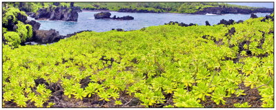
Hana Pailoa Bay 2-IMG_9118-19.jpg
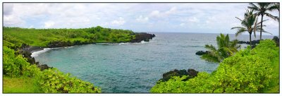
Hana Pailoa Bay 3-IMG_9087-89.jpg
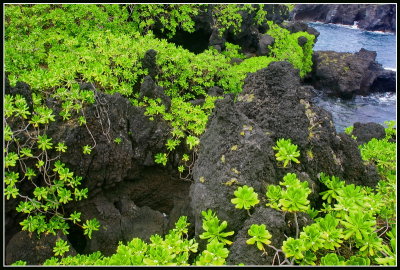
Hana Pailoa Bay IMG_9096.JPG
Hana Pailoa Bay IMG_9122.JPG
Hana Pailoa Bay IMG_9126.JPG
Hana Pailoa Bay IMG_9129.JPG
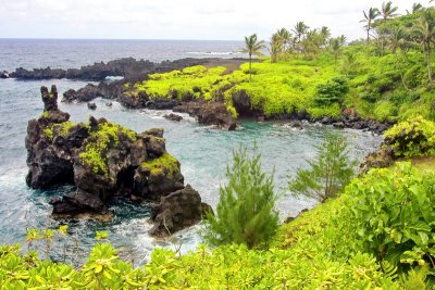
Hana Pailoa Bay 4- IMG_9096-99.jpg
Hana Pailoa Bay IMG_9136.JPG
Hana road IMG_9143.JPG
Hana winding road IMG_9151.JPG
Hana winding road IMG_9152.JPG
Hana winding road IMG_9156.JPG
Hana winding road IMG_9157.JPG
Hana road lookout @Kaumahina Wayside park  6-IMG_9046-51.jpg
Hana road lookout @Kaumahina Wayside park 6-IMG_9046-51.jpg
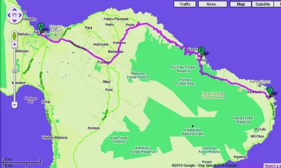
Road map to Hana from airport