


|
|
|
|
|
|
| LeSon Photography | profile | all galleries >> Visit ... Eastern Sierra Nevada, CA >> Hike... Lake May | tree view | thumbnails | slideshow |
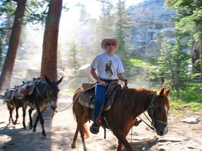 Mountain wrangler IMG_3881.jpg |
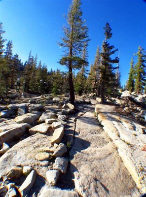 Uphill granite trail to Shangrila IMG_3942.JPG |
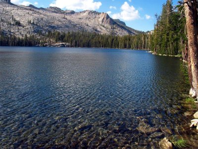 End of up-trail: Lake May ....> MG_3896.JPG |
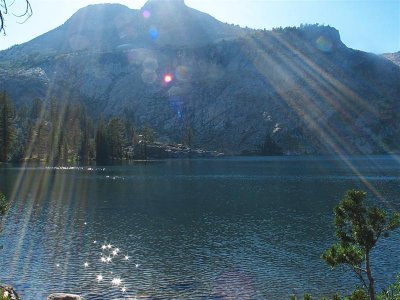 Top of Lake May ....> IMG_3900.JPG |
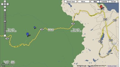 Lake May area map |
| comment | share |