


|
|
|
|
|
|
| Stew Gitlin | profile | all galleries >> Australia and Tasmania >> Uluru (Ayers Rock) >> Kata Tjuta (The Olgas) | tree view | thumbnails | slideshow |
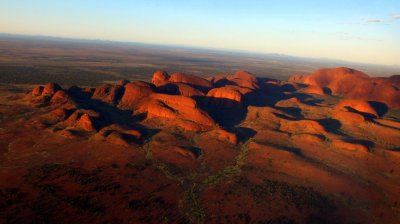 Kata Tjuta (The Olgas) |
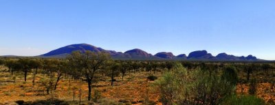 |
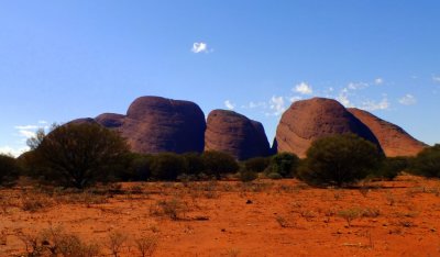 Some of the 36 domes comprising Kata Tjuta |
 A walk along Walpa trail |
 |
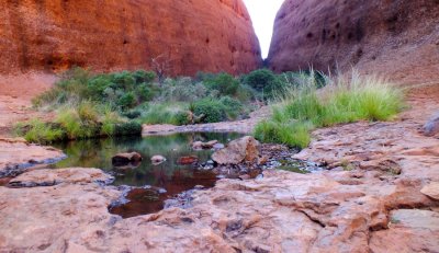 A waterhole |
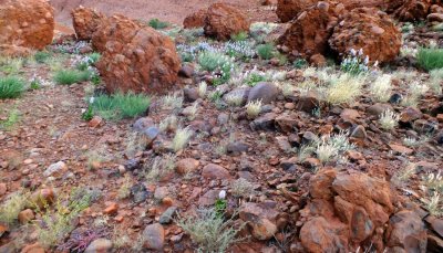
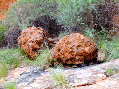 Conglomerate rock - a mix of gravel, pebbles and boulders cemented together by sand and mud |
| comment | share |