


|
|
|
|
|
|
| |
| 25-FEB-2009 | |
The road that becomes SR 87 begins at Second Mesa, Arizona. It becomes a state route when it crosses the reservation boundary line and it ends at Interstate 10 exit 211, just south of Eloy, Arizona in the unincorporated town of Picacho.
SR 87 is known as the Beeline Highway from Payson through Fountain Hills to its terminus at McDowell Road, just north of Mesa. All of this portion of SR 87 is a four-lane highway.
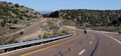
There is a stretch of road where the highway splits, taking different canyons through the Mazatzal Mountains south of Payson, near the junction with SR 188. The old alignment is currently the southbound lanes, while a new alignment was built for the northbound lanes. There is a stretch where the roads cross-over each other because of the difference in elevations of the two canyons.
Once it gets to Mesa, SR 87 is known as Country Club Drive, a major-arterial street, six lanes wide in most sections. It then passes through Chandler where it becomes Arizona Avenue. South of Chandler, at Hunt Highway, SR 87 proceeds southeasterly as a two-lane rural road through the Gila River Indian Community until it reaches Coolidge.
In Coolidge, SR 87 is known as Arizona Blvd. It finally ends 16 miles (26 km) south of Coolidge, near the unincorporated town of Picacho. The original southern terminus was 1/2 mile to the north of I-10 at its junction with State Route 84 until 2004 when SR 87 was extended to serve the 1/2 mile decertified SR 84 stretch.
All Rights Reserved - Stephen Noyes