


|
|
|
|
|
|
| Shelley Stanton | profile | all galleries >> Galleries >> Texas Wildfires 2006 | tree view | thumbnails | slideshow |
| previous page | pages 1 2 ALL | next page |
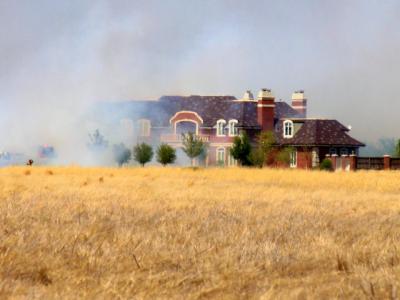 Amarillofire13.jpg |
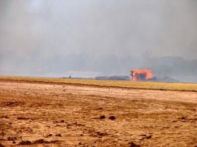 amarillofire12.jpg |
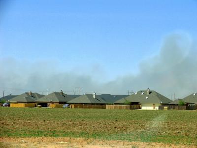 Amarillofire11.jpg |
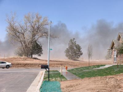 Amarillofire10.jpg |
 Amarillofire8.jpg |
 Amarillofire7.jpg |
 Amarillofire6.jpg |
 Amarillofire4.jpg |
 Amarillofire3.jpg |
 amarillofire2.jpg |
 Amarillofire1.jpg |
 Burned Farmland.jpg |
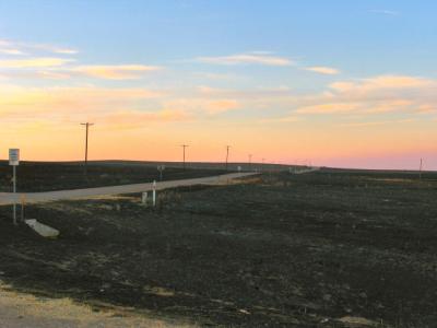
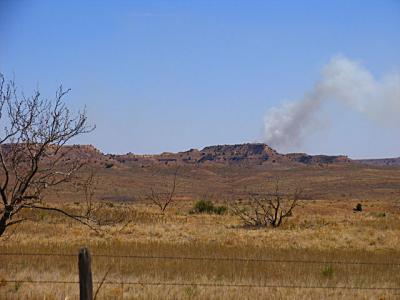 Not Smoke Signals! Canadian River Breaks Hwy 70 N. |
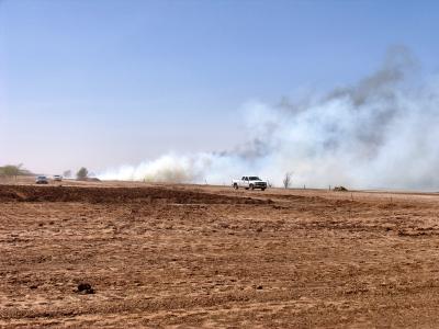
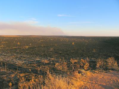
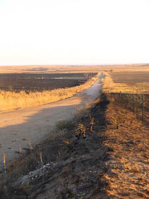
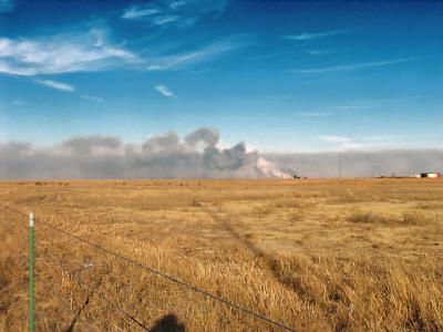
 Burned for miles |
 Charred 3 |
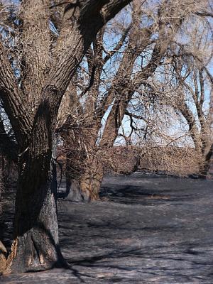
 Charred 2 |
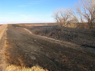
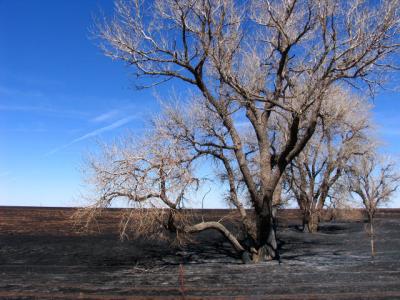 Charred Trees Near Pampa |
 Just Stubble Everywhere - E. of Groom, TX Towards McLean. |
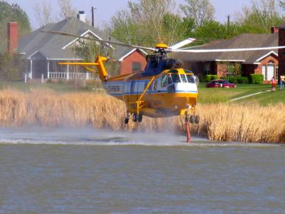
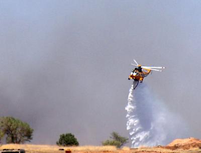
 OG & E To The Rescue - Near Alanreed on I-40 East of Amarillo |
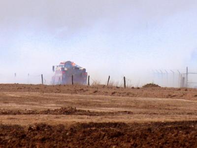
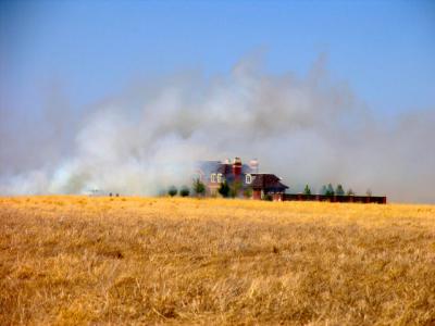
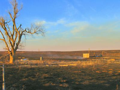 Smoldering Ruins At A Ranch Near Alanreed, TX |
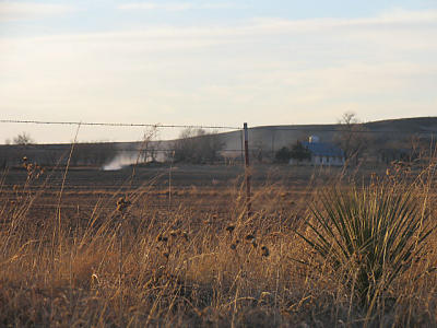 Smoldering Hot Spot - Farm S. of Alanreed, TX |
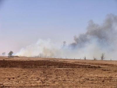
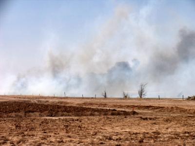
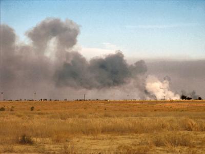
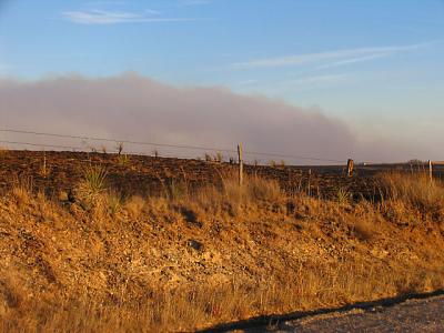 More Smoke Plumes.jpg |
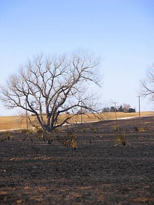
 Blackened Earth - Near Lake McLellan TX |
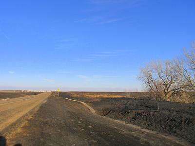
 Alanreed, TX |
 Near McLean, Texas |
 East Of Groom, TX |
 Looking Towards McLean, TX - I-40. |
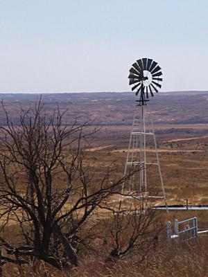
 McLean Texas |
| previous page | pages 1 2 ALL | next page |
| comment |
| Danny Douglas | 22-Feb-2008 02:42 | |
| Marisol | 06-Jul-2007 05:06 | |
| Monte Stevens | 18-Mar-2006 22:44 | |