


|
|
|
|
|
|
| John Rodgers | profile | all galleries >> Galleries >> Signal Peak Trip | tree view | thumbnails | slideshow |
| previous page | pages 1 2 3 ALL | next page |
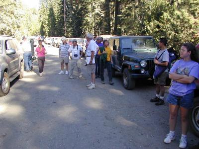
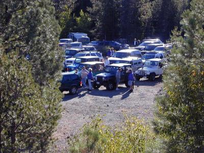 Here's a partial view of the 40 or so SUV's as we gathered at Cisco Grove to make our ascent of Signal Peak. |
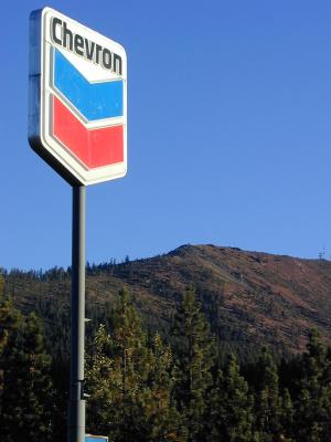 Here's Signal Peak from the gas station at Cisco Grove. If you look closely, you can see the old Southern Pacific fire lookout structure. |
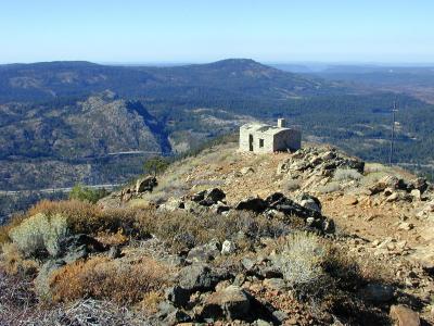 Here was our first view of the structure after driving to the peak. It's not visible from the end of the road. On the other side of I-80 you can see "Shed 10" on the railroad. It is there to protect a track switch from the snow. |
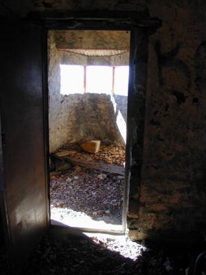
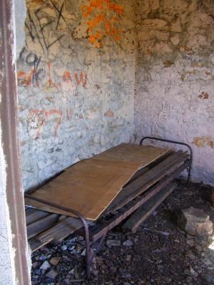 The back room of the structure still has a bed. |
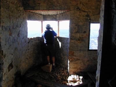
 The front room viewed from the back room. |
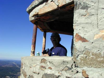
 Cousin Tom taking in the view. |
 Say "Cheese"... |
 That cerveza sure hit the spot... |
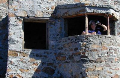
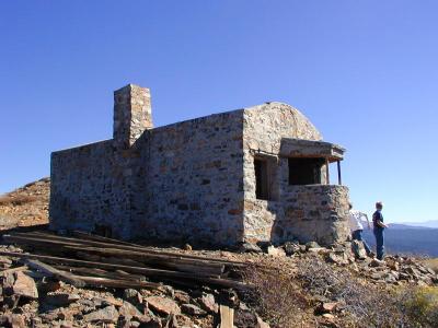 The west side of the structure. Only a handful of the crowd made the short hike to this point; it couldn't be seen from where the vehicles were parked. |
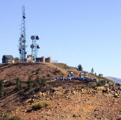 Here's our SUV group at the summit. The site used to be used for long distance microwave communications, but now that fiber optic technology is prevalent in that field, the antennae are used mostly by cell phone companies. |
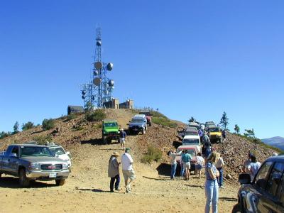 Getting ready to direct traffic out of this trap. |
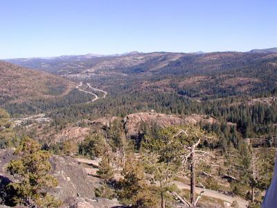
 Looking toward the southwest. The fire lookout structure is beyond what appears to be the end of the ridge. |
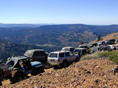 All these SUV's are getting ready to go back down to I-80 and then to Cisco Butte. |
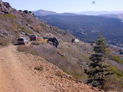 Beginning the long trip back down. |
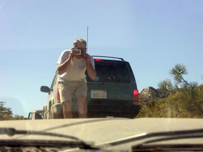
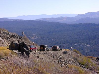 Lots of brakelights. A couple of photographers documented the trip for the group. |
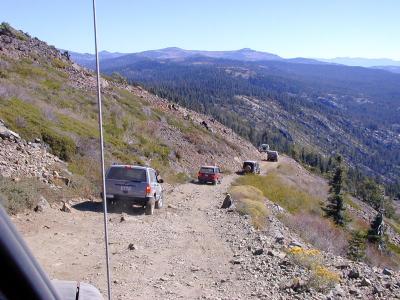 Another shot of the long road down. |
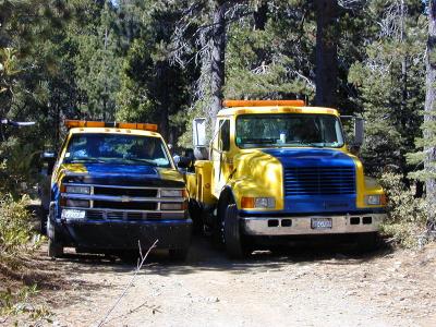 We all made it down to I-80, went a couple of exits west to Yuba Pass, and proceeded to Kelly Lake, where lunch was served. Because of limited room for vehicles at the top of Cisco Butte, we went up in three groups. Someone in an earlier group got off the side of the road and probably due to deflating their tires too much, suffered two blowouts. I still don't know why it takes two towtrucks to fix two flat tires. |
 Approaching the top of Cisco Butte, we were photographed again. |
 Looking east from Cisco Butte, the east and west lanes of I-80 can be seen. Part of the railroad right-of-way can be seen to the right of the freeway. |
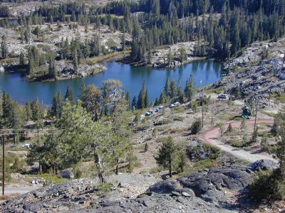 Just south of Cisco Butte are two small lakes which are named "SP Lakes". Back when the railroads were using steam locomotives, the Southern Pacific built two small dams to create these lakes to provide a reservoir of water to replenish the water in the tenders of the steam locomotives working to lift trainloads of passengers and freight to Donner Summit. |
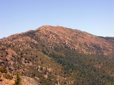 And here is Signal Peak as viewed from Cisco Butte. |
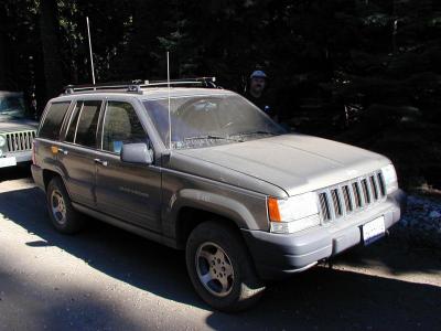 Near the end of the trail; Tom and his dusty Grand Cherokee. |
 The last stop of the day. |
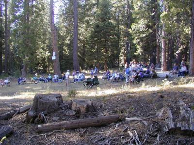 At the last gathering of the day, participants are brought up to date on future activities. Also, one member related his story of a 4wd adventure in South Africa and some of its less stable neighbors. |
| previous page | pages 1 2 3 ALL | next page |
| comment | share |