


|
|
|
|
|
|
| Rob Pavey | profile | all galleries >> Birding >> Regular Birding Spots >> Palo Alto Baylands >> Palo Alto Baylands 1-Jul-07 | tree view | thumbnails | slideshow |
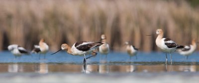
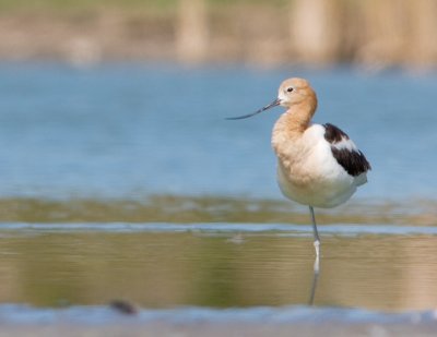
 American Avocet |
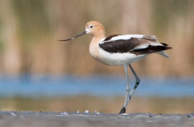
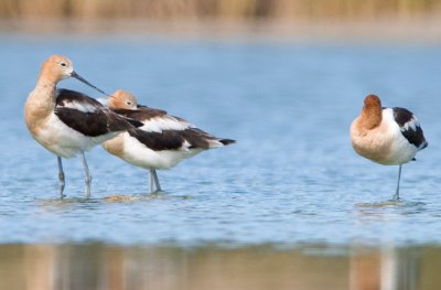
 American Avocet |
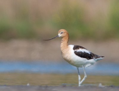
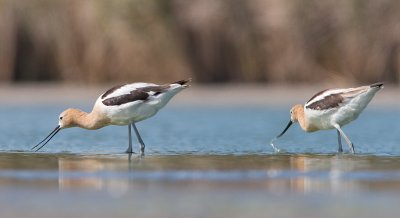
 American Avocet |
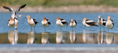
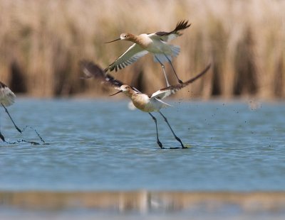
 American Avocet |
 American Avocet |
 American Avocet |
 American Avocet |
 American Avocet |
 American Avocet |
 American Avocet |
 American Avocet |
 American Avocet |