


|
|
|
|
|
|
| ravenoaks | profile | all galleries >> Galleries >> GRAND, ZION, BRYCE, CANYONLAND AND ARCHES. CANYONS ROCK!!!! PART II ZION AND BRYCE NATIONAL PARKS | tree view | thumbnails | slideshow |
| previous page | pages 1 2 3 4 5 6 7 8 9 10 11 ALL | next page |
 THIS MAP SHOWS THE SECOND AND THIRD STOPS ON OUR JOURNEY UP THE GRAND STAIRCASE ZION AND BRYCE NATIONAL PARKS |
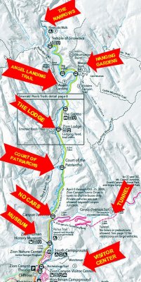 THIS IS A MAP OF ZION NATIONAL PARK-ONLY THE ROAD TO THE RIGHT IS OPEN TO PRIVATE VEHICLE TRAFFIC |
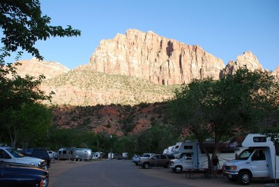 VIEW FROM OUR RV SITE LESS THAN A MILE FROM THE ENTRANCE TO ZION NATIONAL PARK |
 EACH SUNSET WE MARVELED AT OUR VIEW-EVER CHANGING AS THE SUN SETS |
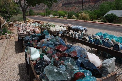 ROCK HOUNDS WOULD LOVE ZION NATIONAL PARK |
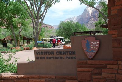 ANY VISIT TO A NATION PARK IS BEST STARTED AT THE VISITOR'S CENTER-ZION IS NO EXCEPTION!!! |
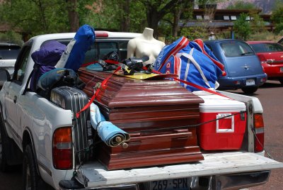 THIS VEHICLE IN THE VISITOR'S CENTER PARKING LOT HAD SOME UNUSUAL TRAVEL SUPPLIES-HOPE IT WAS JUST FOR STORAGE OF CAMPING STUFF |
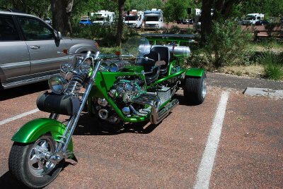 BIKERS LOVE THE NATIONAL PARKS |
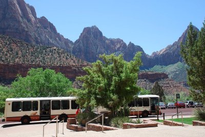 THE PARK'S SHUTTLE SYSTEM IS THE ONLY WAY YOU CAN SEE THE MAIN ATTRACTIONS ALONG SCENIC CANYON TRAIL |
 FIRST STOP ON THE SHUTTLE IS THE ZION PARK MUSEUM |
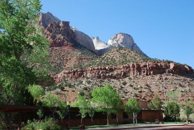
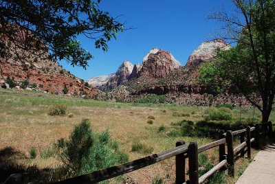 THE VIEWS BEHIND THE MUSEUM WERE INCREDIBLE!!! |
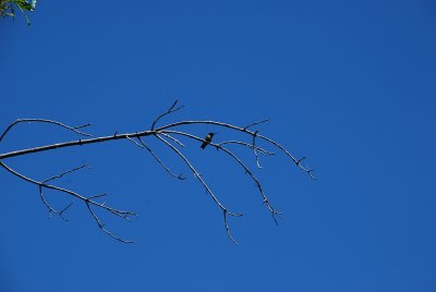 SARA'S EAGLE BIRDING EYE SPOTS A HUMMINGBIRD BEHIND THE MUSEUM |
| previous page | pages 1 2 3 4 5 6 7 8 9 10 11 ALL | next page |
| comment | share |