


|
|
|
|
|
|
| ravenoaks | profile | all galleries >> Galleries >> GRAND, ZION, BRYCE, CANYONLAND AND ARCHES. CANYONS ROCK!!!! PART III CANYONLANDS AND THE ARCHES NATIONAL PARKS | tree view | thumbnails | slideshow |
| previous page | pages 1 2 3 4 5 6 7 ALL | next page |
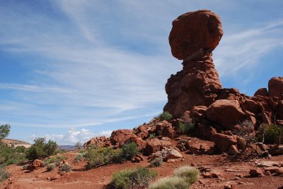 ONE OF THE LANDMARKS IN ARCHES NATIONAL PARK IS BALANCED ROCK |
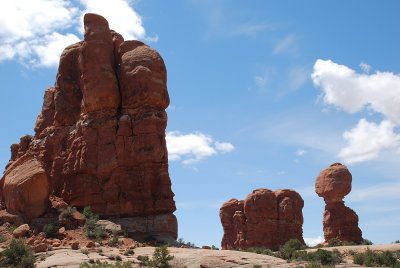
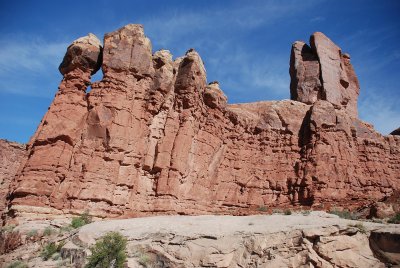
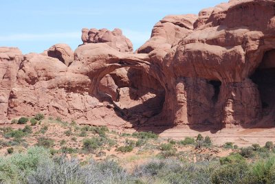
 THESE FORMATIONS ARE PART OF AN ANCIENT ARCH THAT HAS COLLAPSED |
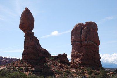
 THE TRAILS ALLOW YOU TO WALK RIGHT UP TO THE FORMATION |
 IT WAS A BEAUTIFUL DAY AT THE ARCHES-SUNNY AND CLEAR |
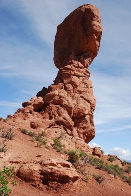
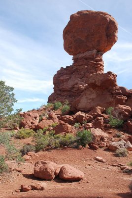 ONE LAST LOOK AT BALANCED ROCK |
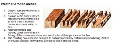 THIS ILLUSTRATION SHOWS HOW THE ARCHES WERE FORMED.. |
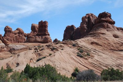 THESE BUMPS ARE THE STARTING POINT OF ARCH FORMATION FROM A DISTANCE |
 ANOTHER VIEW OF EARLY ARCH FORMATION |
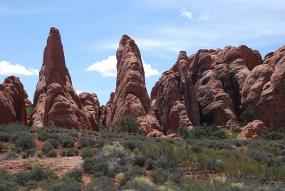 THESE FORMATIONS ARE SLOWLY GETTING CLOSER TO BECOMING ARCHES |
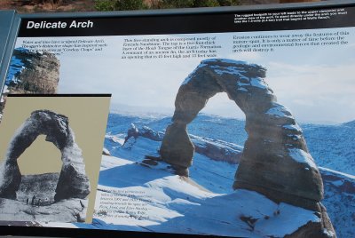 ACCORDING TO THE PARK INFORMATION PLAQUE THE FREEZE-THAW CYCLES DO MORE THAN ANYTHING TO FORM ARCHES |
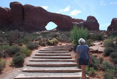 MANY OF THE ARCHES IN THE PARK ARE A HIKE FROM THE ROADWAY |
 WE VIEWED OVER 50 OF THE 2000 ARCHES IN THE PARK |
| previous page | pages 1 2 3 4 5 6 7 ALL | next page |
| comment | share |