


|
|
|
|
|
|
| Paul Verizzo | profile | all galleries >> Galleries >> Aerial photos of Whitaker Bayou, Sarasota, 1948 and later | tree view | thumbnails | slideshow |
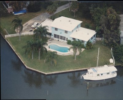 1008 Sylvan_Aerial_ca1986 |
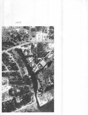 1948 Aerial 2 |
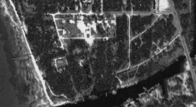 1948 Aerial |
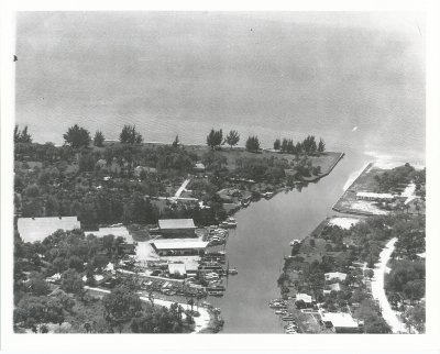
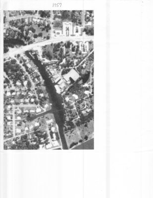 1957 Aerial |
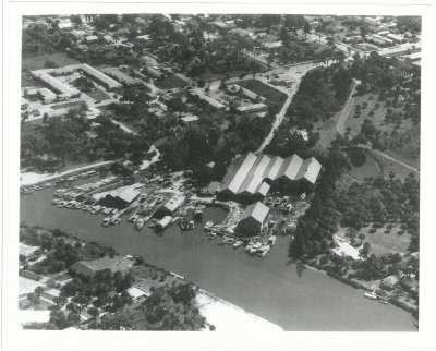
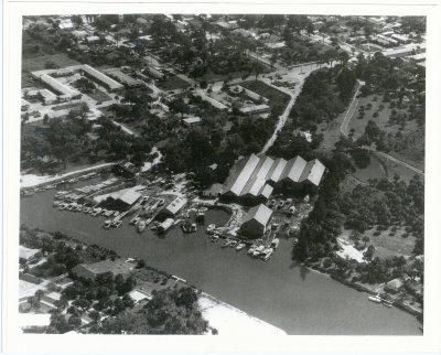 Aerial of Whitaker Bayou ca. 1954 |
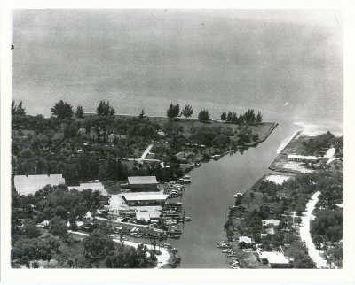 Aerial of Whitaker Bayou ca. 1954_2 |
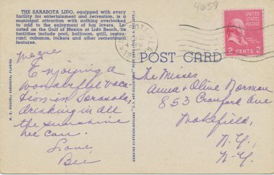
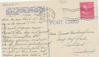 Lido Casino Postcard, Back |
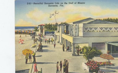 Lido Casino Postcard, Front |
 Lido Casino, Air View Postcard, Back |
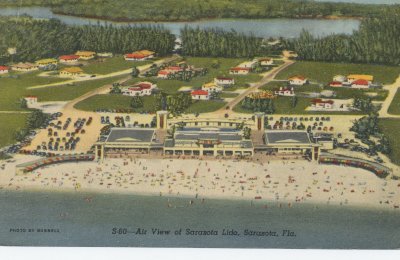 Lido Casinok, Air View Postcard, Front |
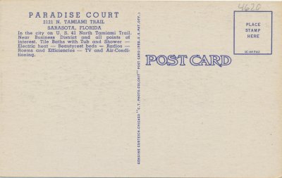 Paradise Court Postcard, Back |
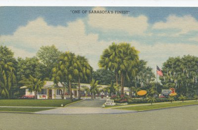 Paradise Court Postcard, Front |
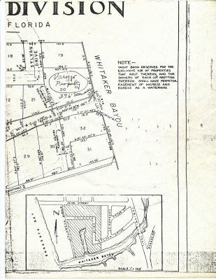
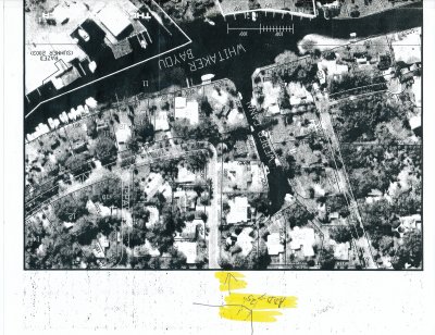
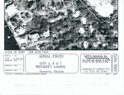
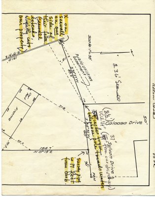 Sylvan Aerials, Plats, etc.01 |
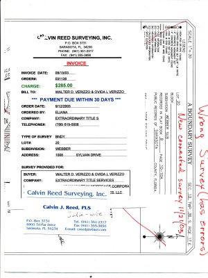
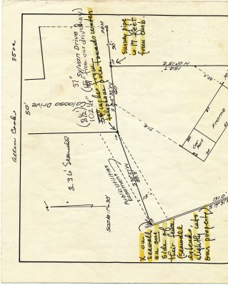 Sylvan Aerials, Plats, etc.02 |
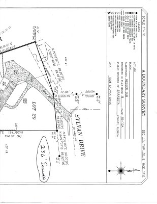
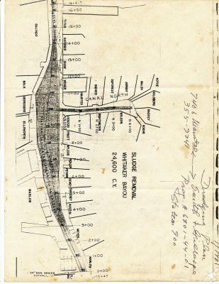 Sylvan Aerials, Plats, etc.03 |
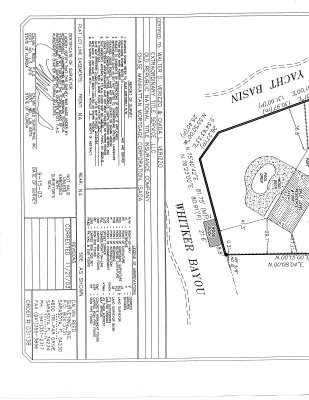
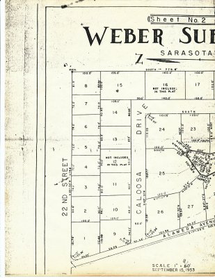 Sylvan Aerials, Plats, etc.04 |
 Sylvan Aerials, Plats, etc.05 |
 Sylvan Aerials, Plats, etc.06 |
 Sylvan Aerials, Plats, etc.07 |
 Sylvan Aerials, Plats, etc.08 |
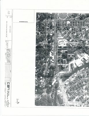 Sylvan Aerials, Plats, etc.09 |
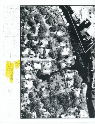 Sylvan Aerials, Plats, etc.10 |
 Sylvan Aerials, Plats, etc.11 |
 Sylvan Aerials, Plats, etc.12 |
 Sylvan Aerials, Plats, etc.13 |
 Sylvan Aerials, Plats, etc.14 |
| comment | share |
| Michael | 28-Jan-2020 15:15 | |