


|
|
|
|
|
|
| Steve, Katherine, and Norah | profile | all galleries >> Canadian Rockies 2015 >> Jasper National Park: The Skyline Trail | tree view | thumbnails | slideshow |
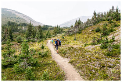 Day one on the Skyline Trail |
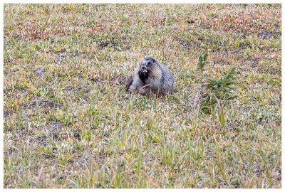
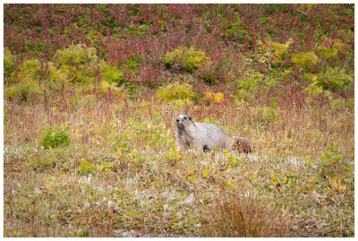 A pudgy marmot |
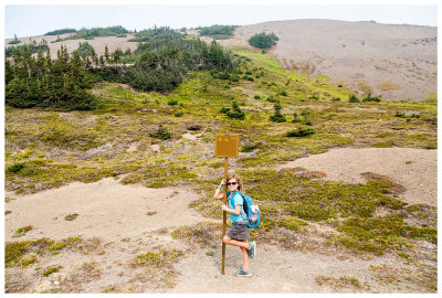 Norah at Little Shovel Pass |
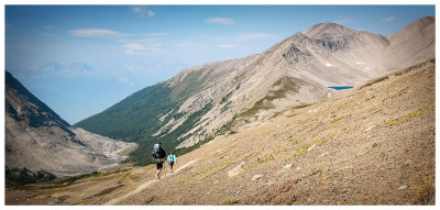
 Smoky mountains |
 Leaving Snowbowl Campground |
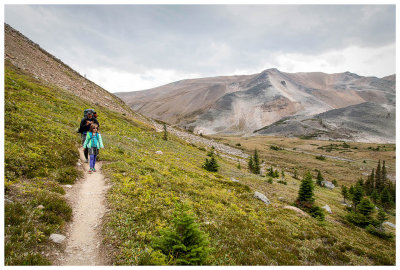
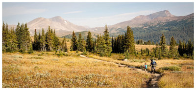 Meadow hike |
 Stream in the meadow |
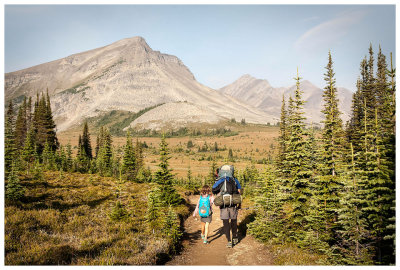
 Steve and Norah on the trail |
 Antler Mountain looming large |
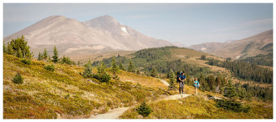
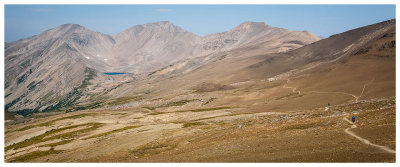
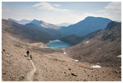
 View to the pass |
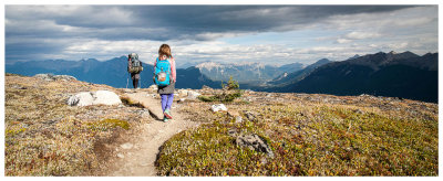
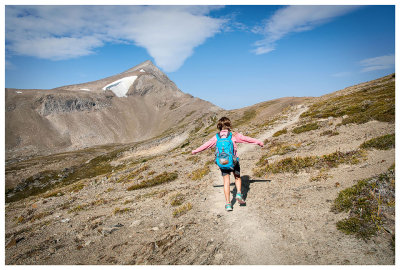 Hiker girl |
 Steve and Norah at Big Shovel Pass |
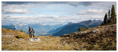
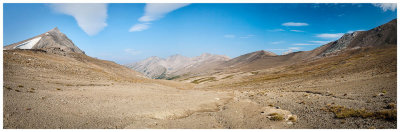 Panorama from Big Shovel Pass |
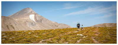
 View to The Notch - we have to go where?! |
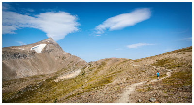
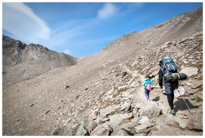
 Hiking to The Notch |
 Smoke obscuring mountains in the distance |
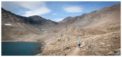
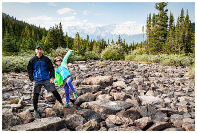
 Steve and Norah at Curator Lake |
 Off we go again |
 Getting closer to The Notch |
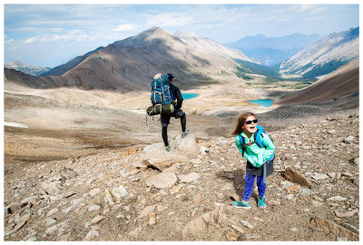
 Almost there! |
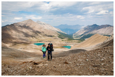
 A break at The Notch |
 High point of the Skyline Trail |
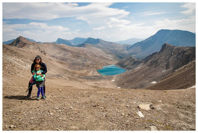 Kathy and Norah at The Notch |
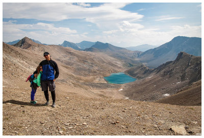 Steve and Norah at the Notch |
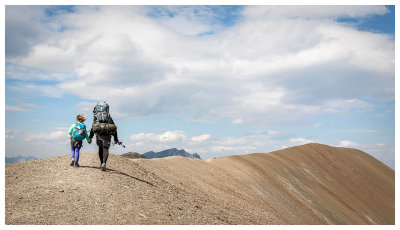
 Continuing along the ridge |
 Gorgeous views! |
 Something is funny |
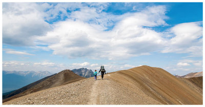
 A very windy ridge walk |
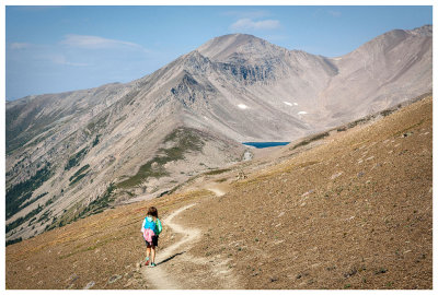
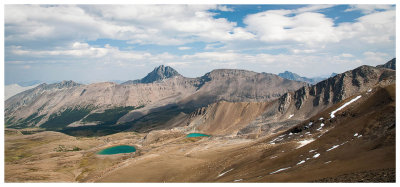 Views of the Maligne Range |
 Steve and Norah on Amber Mountain |
 Starting our descent to Tekarra Campground |
 Another pudgy marmot |
 Hiking to Tekarra Campground |
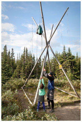 Hanging our food for the night |
 Tekarra Campground |
 Last day of the Skyline |
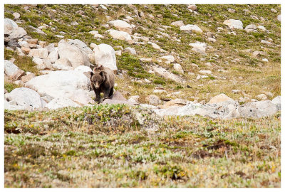
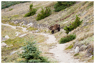 Grizzly! |
 Look at those claws |
 Aftermath of digging up burrows |
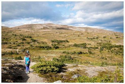
 Valley view |
 Beautiful light |
 Hike through open meadows |
 Last view before the fire road |
| comment | share |