


|
|
|
|
|
|
| Steve, Katherine, and Norah | profile | all galleries >> Cedar Mesa October 2020: The Citadel, Moon House, and Natural Bridges National Monument >> Natural Bridges National Monument | tree view | thumbnails | slideshow |
 Descending into White Canyon |
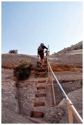
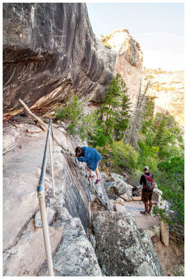 One of a few ladders on the hike |
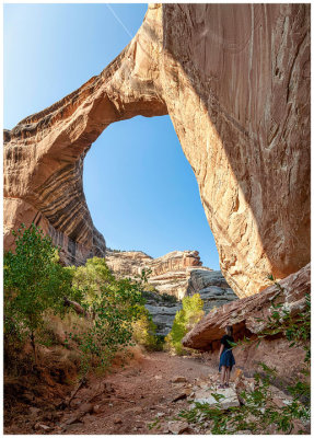
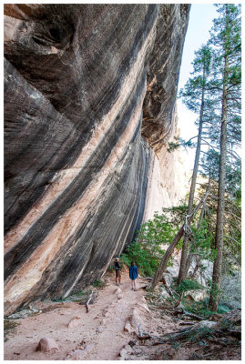 Hiking to Sipapu Bridge |
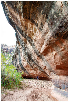
 All bird poop |
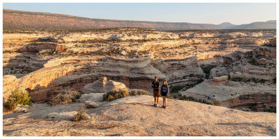
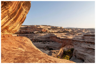 Heading to the Sipapu Bridge overlook |
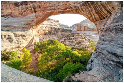
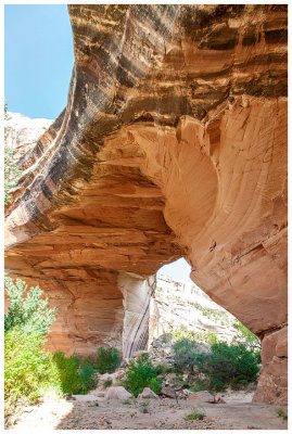
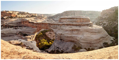 Sipapu Bridge |
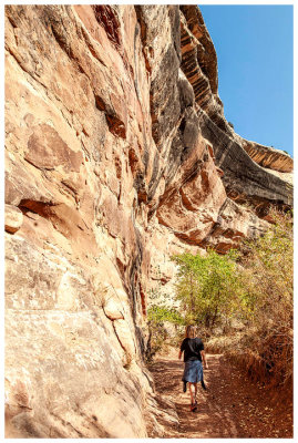
 Checking out the rocks |
 Steve and Sipapu Bridge |
 Steve and Sipapu Bridge |
 Steve and Sipapu Bridge |
 Norah and Sipapu Bridge |
 Sipapu Bridge |
 Sipapu Bridge |
 Continuing down canyon |
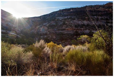 White Canyon |
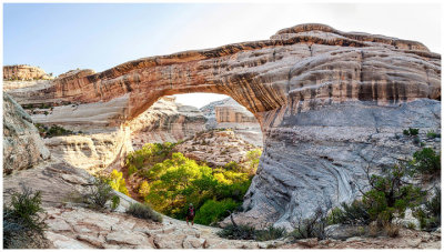
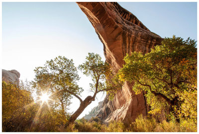
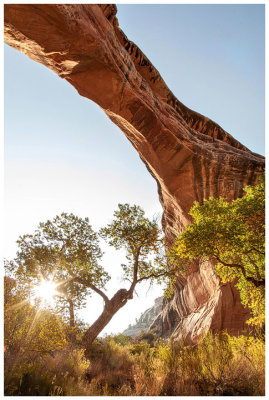
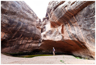
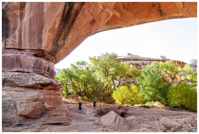 Kachina Bridge |
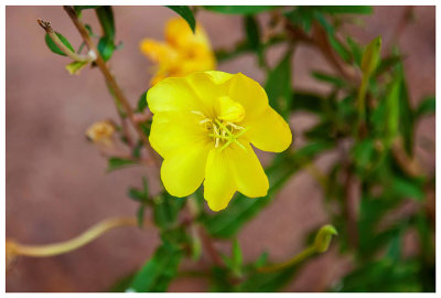 Primrose |
 Kachina Bridge |
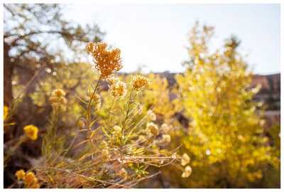 Fall flowers |
 The Knickpoint in Armstrong Canyon |
 Kachina Bridge |
 Moki steps |
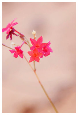 Coral gilia (I think?) |
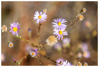 Asters |
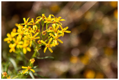 Ragwort (?) |
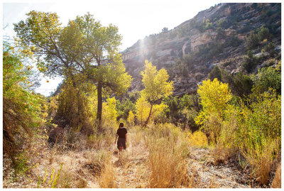 Fall color in Armstrong Canyon |
 Fall color in Armstrong Canyon |
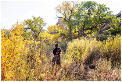
 Hiking in Armstrong Canyon |
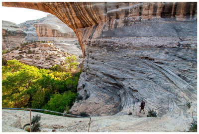
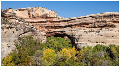
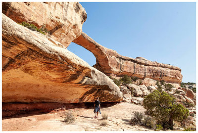
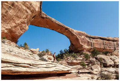
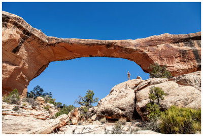
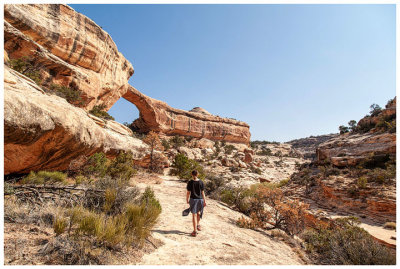 Owachomo Bridge |
 Owachomo Bridge |
 Owachomo Bridge |
 Owachomo Bridge |
| comment | share |
| j c | 25-Dec-2020 18:07 | |