


|
|
|
|
|
|
| Steve, Katherine, and Norah | profile | all galleries >> Galleries >> Mojave National Preserve November 2020 | tree view | thumbnails | slideshow |
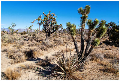
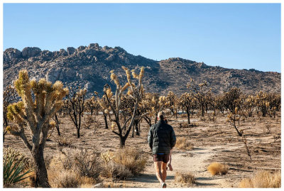 On the way to Teutonia Peak |
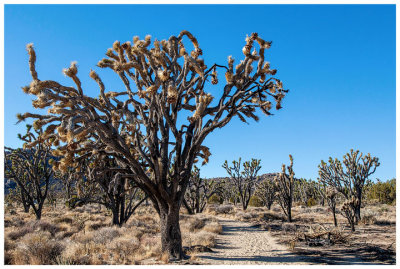 Teutonia Peak trail |
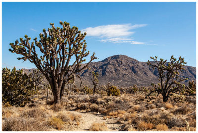
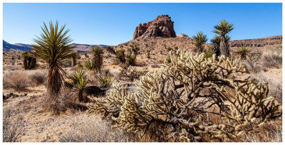
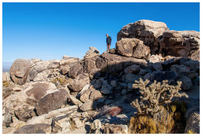 Teutonia Peak |
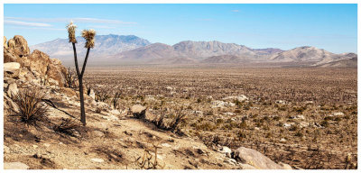 Teutonia Peak |
 Teutonia Peak trail |
 Teutonia Peak trail |
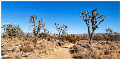 Teutonia Peak trail |
 Teutonia Peak trail |
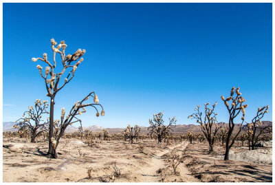
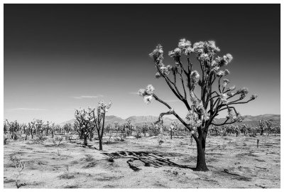 Burned Joshua trees |
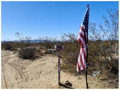 "Mailbox" on Mojave Road |
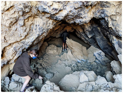 Entering the lava tube |
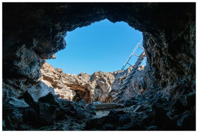 Ladder we used to descend into the tube |
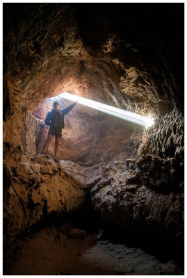 Lava tube |
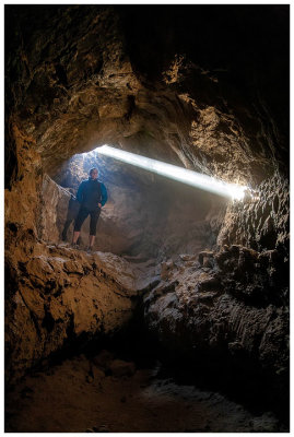 Lava tube |
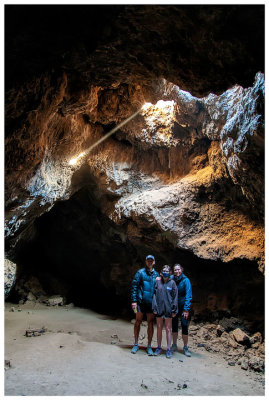 Lava tube |
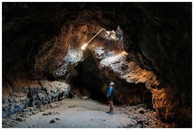 Lava tube |
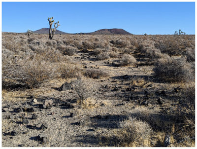
 Evidence of volcanic activity |
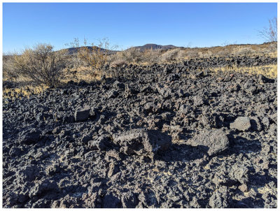
 More basalt |
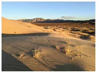
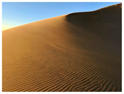
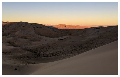
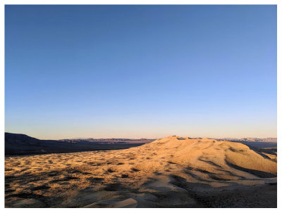
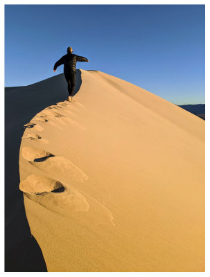
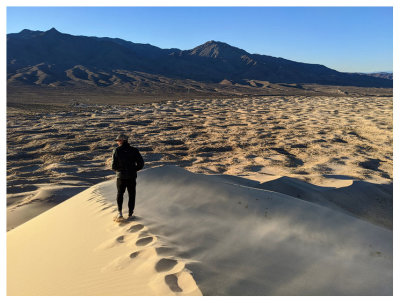
 Kelso Dunes |
 Kelso Dunes |
 Kelso Dunes |
 Kelso Dunes |
 Kelso Dunes |
 Kelso Dunes |
 Kelso Dunes |
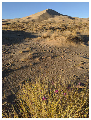
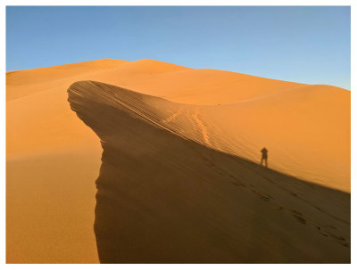
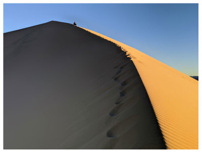
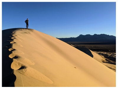
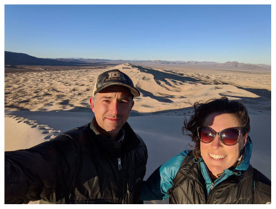
 Sunrise from Kelso Dunes |
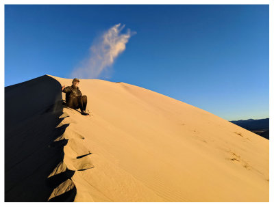
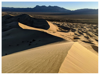
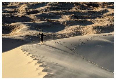
 Kelso Dunes |
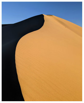
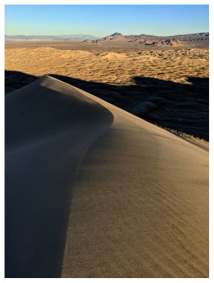
 Kelso Dunes |
 Kelso Dunes |
 Kelso Dunes |
 Kelso Dunes |
 Kelso Dunes |
 Kelso Dunes |
 Kelso Dunes |
 Kelso Dunes |
 Kelso Dunes |
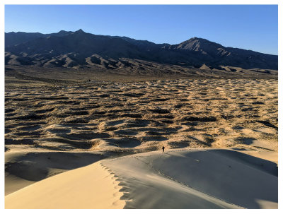 Kelso Dunes |
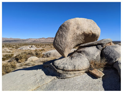
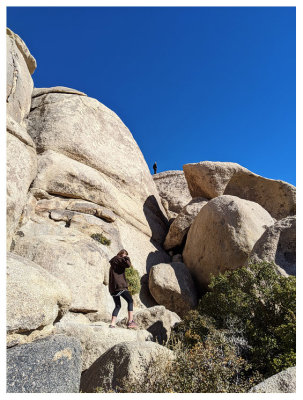 Some rocks we had to stop and check out |
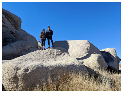
 Rock scrambling |
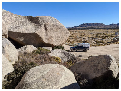 Our trusty OverlandX |
 Rock scrambling |
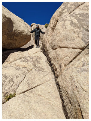
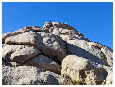 Steve at the top |
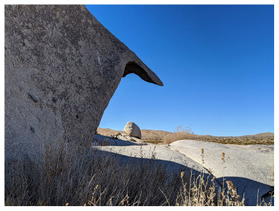 Some interesting rocks |
 Mini rock window |
 Rock scrambling |
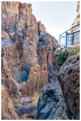 Rings Trail overlook |
 Descending into Banshee Canyon |
 Descending into Banshee Canyon |
 Banshee Canyon |
 Banshee Canyon |
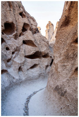 Banshee Canyon |
 Banshee Canyon |
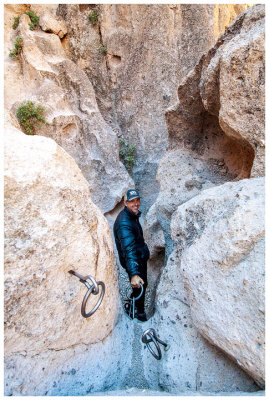
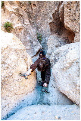
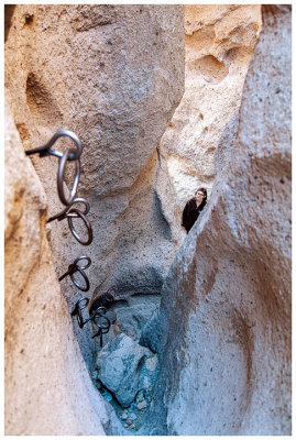
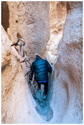
 The rings |
 Banshee Canyon |
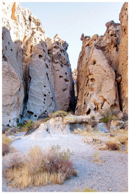 Hole-in-the-Wall |
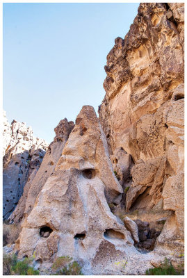
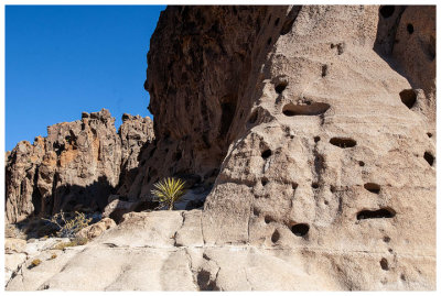
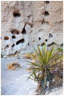 Yucca and the holy walls |
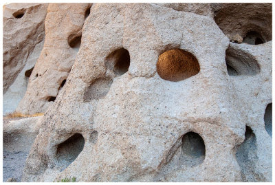 Swiss cheese walls |
 Cool rocks |
 The Rings trail |
 The Rings trail |
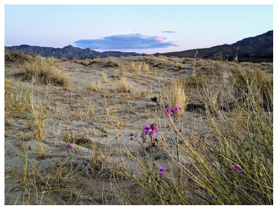
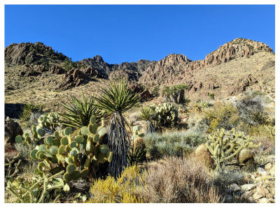 Desert flora |
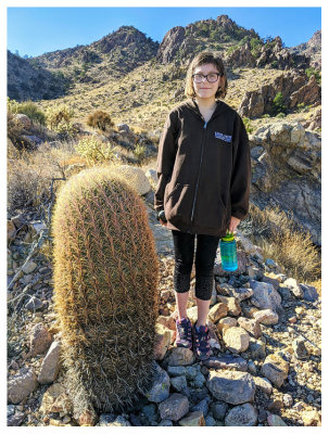 Cool barrel cactus |
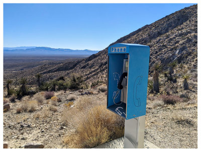 A functioning payphone! |
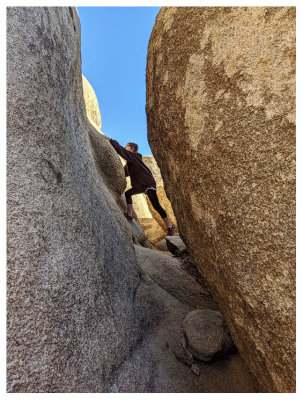
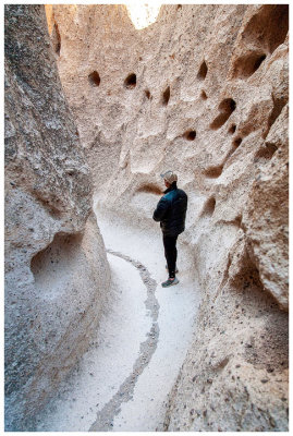
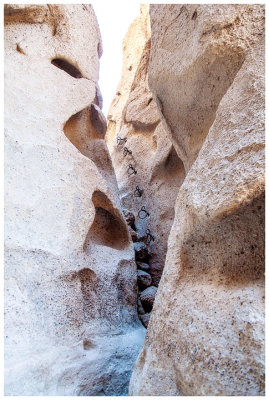
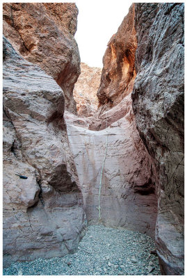
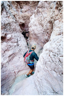
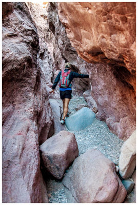
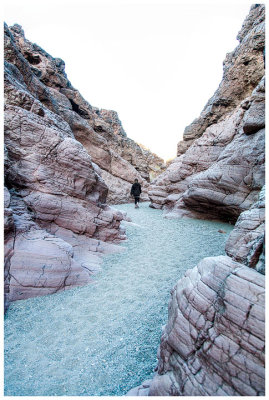 Crack in the Mountain trail |
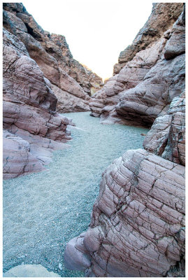 Crack in the Mountain trail |
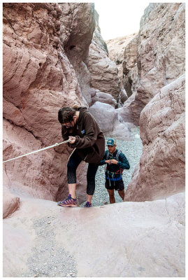 Small dryfall to navigate |
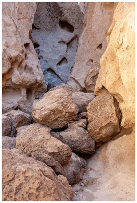
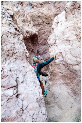
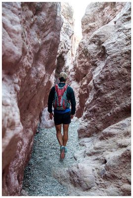
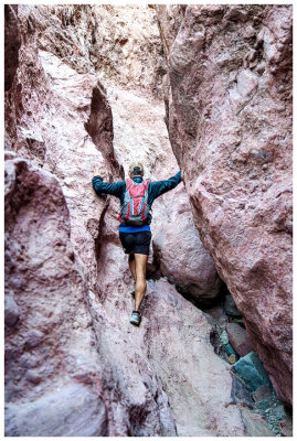
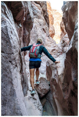
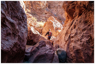
 Crack in the Mountain trail |
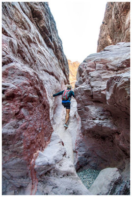
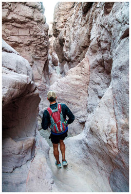 Crack in the Mountain trail |
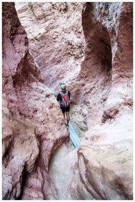
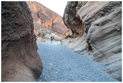
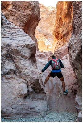
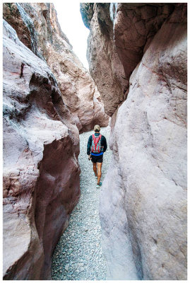 Crack in the Mountain trail |
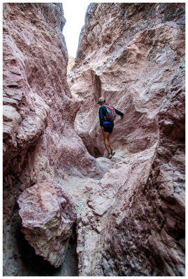
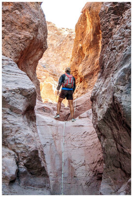
 Crack in the Mountain trail |
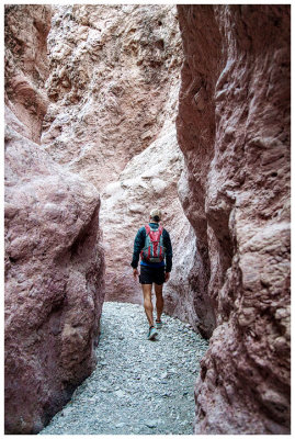
 Crack in the Mountain trail |
 Crack in the Mountain trail |
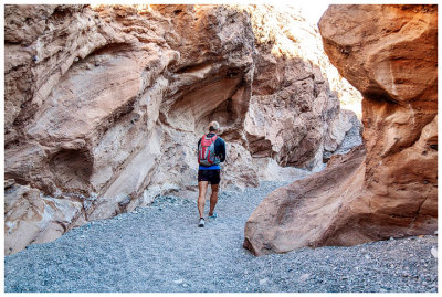
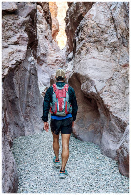
 Crack in the Mountain trail |
 Crack in the Mountain trail |
 Crack in the Mountain trail |
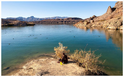 American coots in Balanced Rock Cove on Lake Havasu |
 Crack in the Mountain trail |
 Crack in the Mountain trail |
 Crack in the Mountain trail |
 Crack in the Mountain trail |
 Crack in the Mountain trail |
 Crack in the Mountain trail |
 Crack in the Mountain trail |
 Crack in the Mountain trail |
 Crack in the Mountain trail |
 Crack in the Mountain trail |
| comment | share |