


|
|
|
|
|
|
| Steve, Katherine, and Norah | profile | all galleries >> John Muir Trail 2017 >> Days 9 and 10: Woods Creek to Palisade Lakes | tree view | thumbnails | slideshow |
 View along the way to Pinchot Pass |
 Steve ascending Pinchot Pass |
 Kathy and Norah on Pinchot Pass |
 Pinchot Pass view |
 Steve and Lake Marjorie |
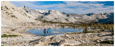
 Trail around Lake Marjorie |
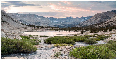
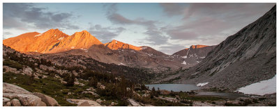
 Lake Marjorie panorama |
 Lake Marjorie sunset |
 Lake Marjorie sunset |
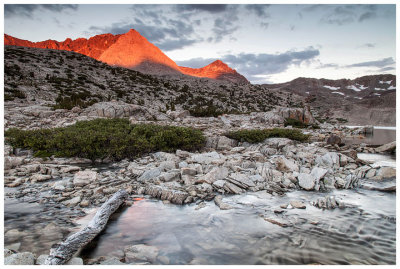 Lake Marjorie alpenglow |
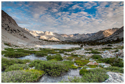 Lake Marjorie sunrise |
 Hitting the trail to Mather Pass |
 Pretty alpine lake |
 Unnamed lake north of Lake Marjorie |
 A look ahead to Mather Pass |
 South Fork of Kings River |
 Approach to Mather Pass |
 Heading up to Mather Pass |
 Crossing a snow patch on the way to Mather Pass |
 Mather Pass |
 Sierra primrose |
 Mather Pass |
 Mather Pass view to Palisade Lakes |
 Columbine |
 Palisade Lakes |
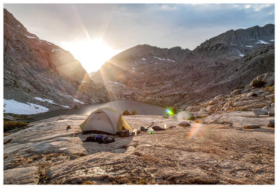
 Prime campsite between the lakes |
 Steve at our Palisade Lakes campsite |
 Norah demonstrating uses of the bandana |
 Catching the last sun rays |
 Palisade Lake sunset |
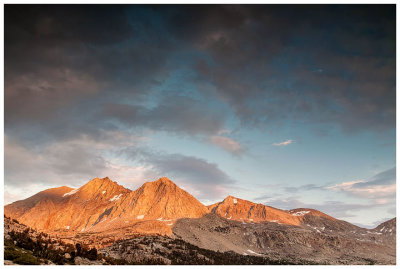 Pretty mountain light |
 Steve waiting for the show |
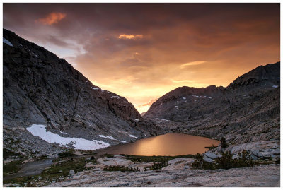
 Palisade Lake sunset |
 Sky on fire |
 Palisade Lake sunset |
| comment | share |