


|
|
|
|
|
|
| Steve, Katherine, and Norah | profile | all galleries >> John Muir Trail 2017 >> Day 5: Guitar Lake to Forester Pass Basin | tree view | thumbnails | slideshow |
 Heading back towards Crabtree Meadows |
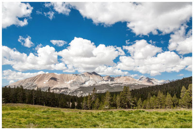 Meadow with a view |
 Crossing Wallace Creek |
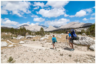 Hiking on the Bighorn Plateau |
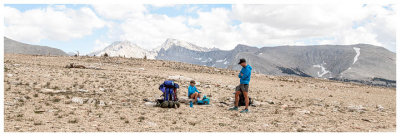 Break on the Bighorn Plateau |
 Break on the Bighorn Plateau |
 Hiking on the Bighorn Plateau |
 Hiking on the Bighorn Plateau |
 Hiking on the Bighorn Plateau |
 Heading down to Tyndall Creek |
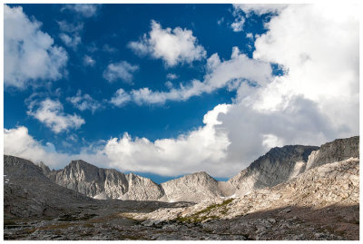 Looking ahead to Forester Pass |
 Campsite in the basin |
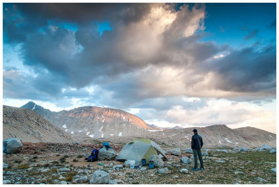 Campsite in the basin |
 Fellow campers |
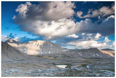 Mountain sunset |
| comment | share |