


|
|
|
|
|
|
| Steve, Katherine, and Norah | profile | all galleries >> John Muir Trail August 2025 >> Days 8 and 9: Over Mather Pass to the Palisade Creek/Middle Fork Kings River intersection and out to South Lake via Bishop Pass | tree view | thumbnails | slideshow |
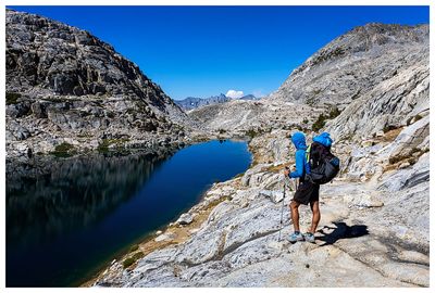
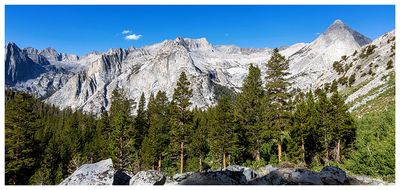
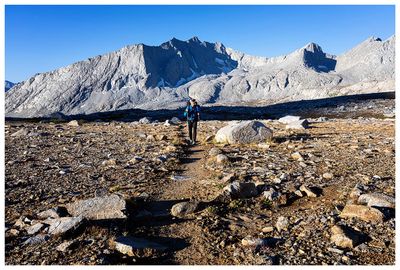 Mather Basin |
 Mather Basin |
 Mather Basin |
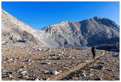
 Ascending Mather Pass |
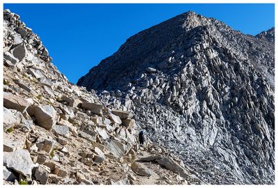 Ascending Mather Pass |
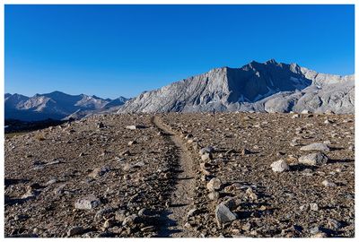
 Mather Pass |
 Mather Pass |
 Mather Pass |
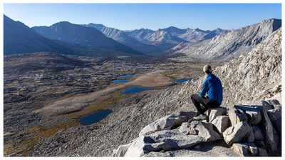
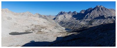
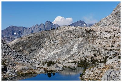
 Palisade Basin |
 Grouse |
 Palisade Lake |
 Palisade Lake |
 Smoke? |
 Devils Crag and Wheel Mountain |
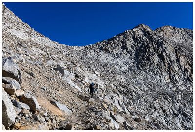
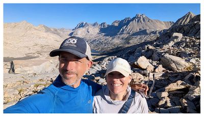
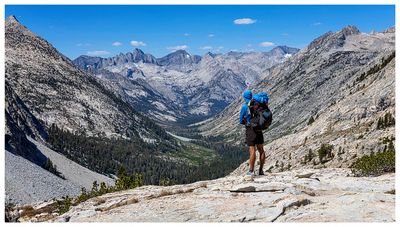
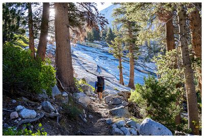
 Steve on the trail |
 Steve on the trail |
 Steve on the trail |
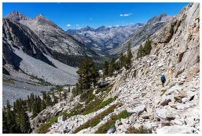
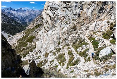 The Golden Staircase |
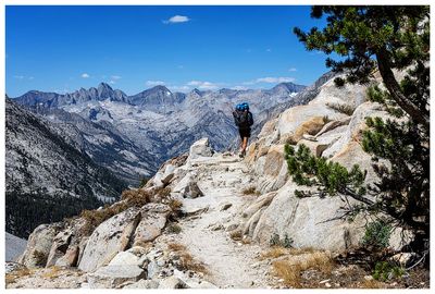
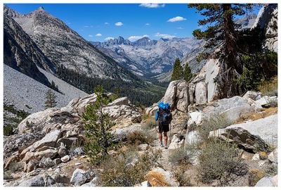
 Hiking to Leconte Canyon |
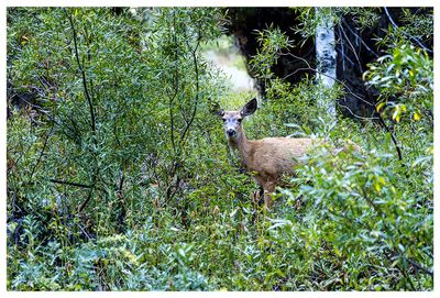 Deer |
 Bishop Pass Trail |
 Langille Peak |
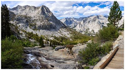
 View across Leconte Canyon |
 Bishop Pass Trail views |
 Giraud Peak from the bridge |
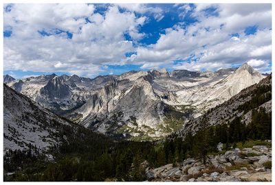 Dusy Basin views |
| comment | share |