


|
|
|
|
|
|
| Steve, Katherine, and Norah | profile | all galleries >> John Muir Trail August 2025 >> Days 1 and 2: Horseshoe Meadows to Rock Creek (via New Army Pass) and Rock Creek to Guitar Lake | tree view | thumbnails | slideshow |
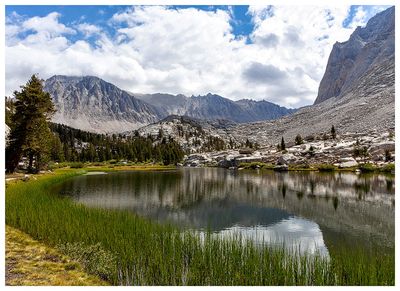
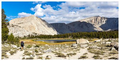 Cottonwood Lake |
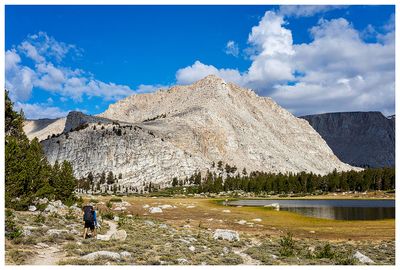 Cottonwood Lake |
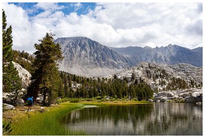
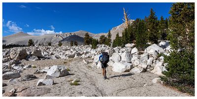 Cottonwood Lakes Trail |
 Cottonwood Lakes Trail |
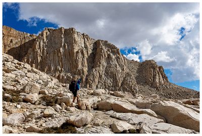 New Army Pass ascent |
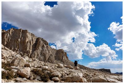 New Army Pass ascent |
 New Army Pass ascent |
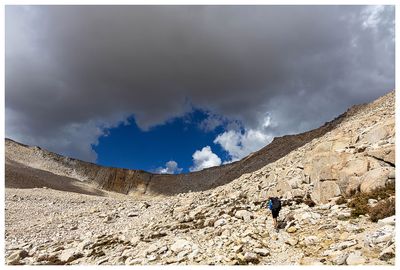 Clouds building over New Army Pass |
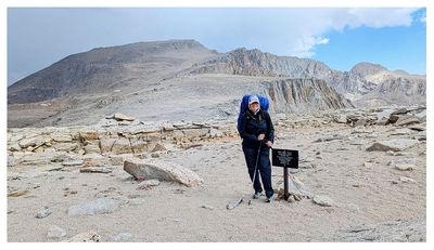 Kathy on New Army Pass |
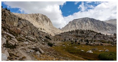
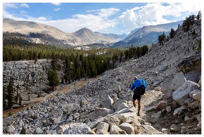 Descending down Guyout Pass |
 Sierra Nevada meadow |
 Timberline Lake |
 Timberline Lake |
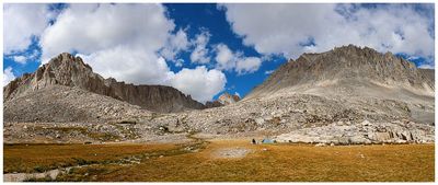
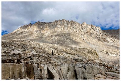
 Whitney Creek Basin |
 Whitney Creek Basin |
 Guitar Lake |
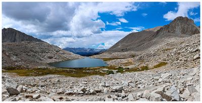 Guitar Lake |
 Guitar Lake |
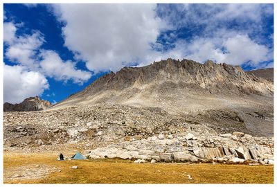
 Guitar Lake Campsite |
 Guitar Lake Campsite |
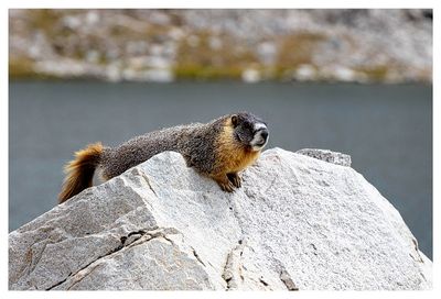 Marmot |
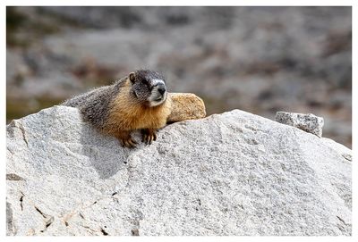 Marmot |
 Marmot |
 Guitar Lake Campsite |
 Guitar Lake Campsite |
 Guitar Lake Campsite |
 Steve at Guitar Lake |
| comment | share |