


|
|
|
|
|
|
| Steve, Katherine, and Norah | profile | all galleries >> John Muir Trail August 2025 >> Day 3: Mt. Whitney and overnight at Crabtree Meadows | tree view | thumbnails | slideshow |
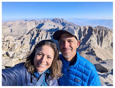
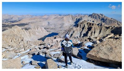
 Mt. Whitney |
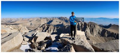
 Mt. Whitney |
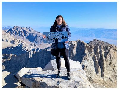
 Mt. Whitney |
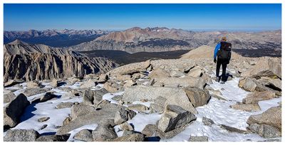
 Mt. Whitney |
 Mt. Whitney |
 Mt. Whitney |
 Mt. Whitney |
 Mt. Whitney |
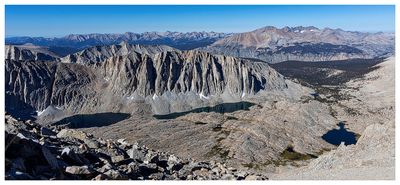 Hitchcock Mountain, Hitchcock Lakes, and Guitar Lake |
 East view from the ridge trail |
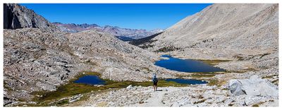
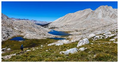
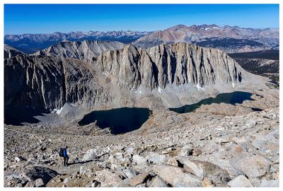 Hitchcock Mountain and Hitchcock Lakes |
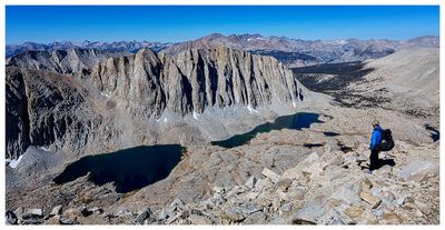 Hitchcock Mountain and Hitchcock Lakes |
 Guitar Lake Basin |
 Guitar Lake Basin |
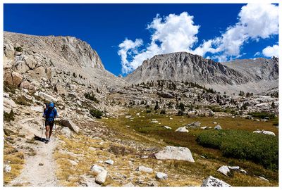 Whitney Creek Basin |
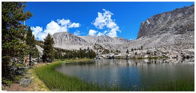 Timberline Lake |
| comment | share |