


|
|
|
|
|
|
| Steve, Katherine, and Norah | profile | all galleries >> Peru 2016: The Huayhuash Circuit >> The Huayhuash Circuit >> Day 1: Llamac to Jahuacocha | tree view | thumbnails | slideshow |
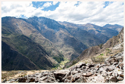 LLamac Valley |
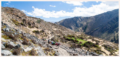 Donkey Train |
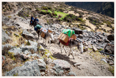 Donkey Train |
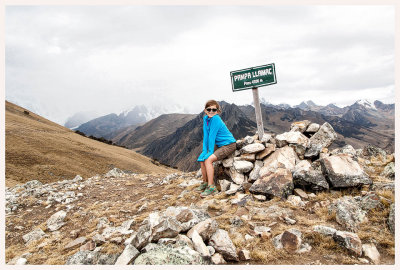 Pampa Llamac |
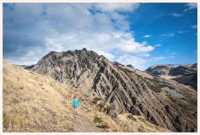 Pampa Llamac to Jahuacocha |
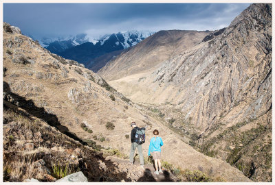 Pampa Llamac to Jahuacocha |
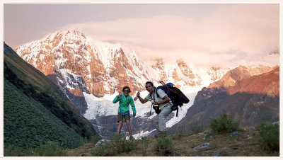 We did it! |
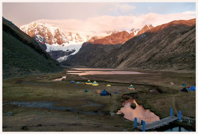 Jahuacocha sunset |
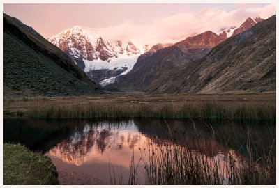 Jirishanca reflection |
| comment | share |