


|
|
|
|
|
|
| Steve, Katherine, and Norah | profile | all galleries >> Galleries >> The Escalante Route May 2024 | tree view | thumbnails | slideshow |
 Lipan Point |
 Lipan Point |
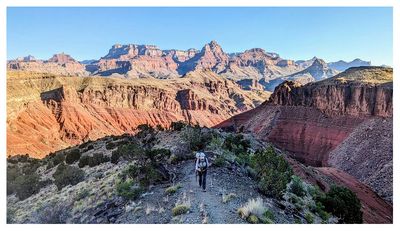
 Descending the Tanner Trail |
 Descending the Tanner Trail |
 Descending the Tanner Trail |
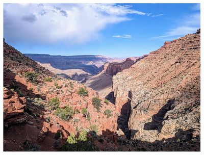 Seventyfive Mile Creek - Tanner Canyon saddle |
 Seventyfive Mile Canyon |
 Seventyfive Mile Creek - Tanner Canyon saddle |
 A look back at the trail - doesn't look like you could descend down that! |
 Steve at the saddle |
 Blooming grizzly bear cactus |
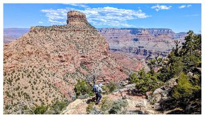
 Steve on the Tanner Trail |
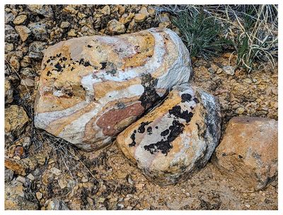 Colorful rocks |
 Cliffrose |
 Narrowleaf yucca |
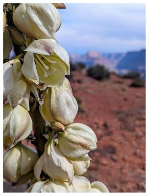 Narrowleaf yucca blooms |
 Palisades of the Desert overlook |
 Steve at the Palisades of the Desert overlook |
 Blooming grizzly bear cactus |
 Steve on the Tanner Trail |
 Tanner Trail |
 Tanner Trail |
 Tenacious cactus on the rocks |
 Flowers abound |
 Sticky brittlebush |
 Loving the flowers! |
 Grizzly bear cactus blooms |
 Steve on the long descent |
 Indigo bush |
 So many blooming cacti |
 Descending the Dox sandstone |
 Descending the Dox sandstone |
 Descending the Dox sandstone |
 Kathy descending the Dox sandstone |
 Tanner Beach campsite |
 Beautiful day at Tanner Beach |
 Kicking off Day 2 on the Escalante Route |
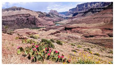
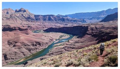
 Heading towards Cardenas |
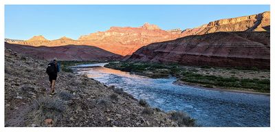
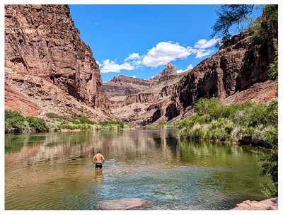
 Early morning Colorado River |
 Steve on the Escalante |
 Admiring the early morning light |
 The Colorado River |
 Hilltop Ruin |
 Hilltop Ruin |
 Hilltop Ruin ridge |
 Hilltop Ruin ridge |
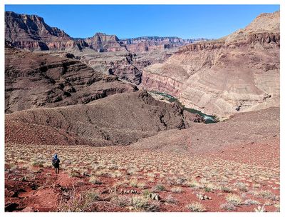
 Heading around the drainage |
 Blooming beavertail |
 Working our way around the unnamed drainage |
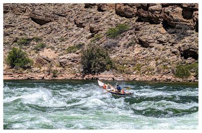
 One of multiple boat parties we saw on the river |
 Traversing the unnamed drainage |
 Almost done with this section |
 Finally reached the ridge |
 Great break spot on the ridge |
 Rattlesnake! |
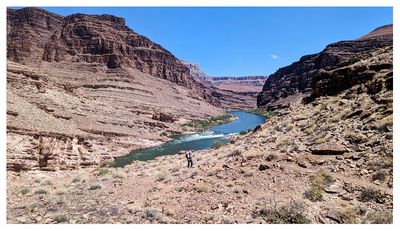
 River view |
 Descending to Escalante Canyon |
 Navigating Escalante Canyon |
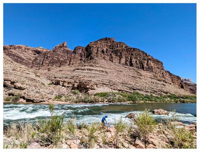 Filtering water at Escalante Rapids |
 Escalante Rapids |
 Dory coming through |
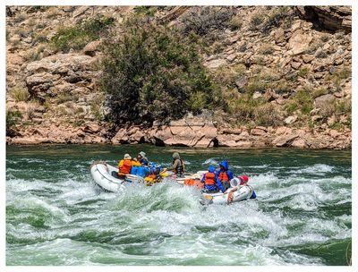 Watching the raft party |
 Ascending to the cliffs above Seventyfive Mile Canyon |
 Ascending to the cliffs above Seventyfive Mile Canyon |
 Kathy walking high above Seventyfive Mile Canyon |
 Kathy walking high above Seventyfive Mile Canyon |
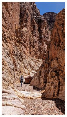
 Entry point into Seventyfive Mile Canyon |
 Sacred datura |
 Seventyfive Mile Canyon |
 Seventyfive Mile Canyon |
 Seventyfive Mile Canyon |
 Seventyfive Mile Canyon |
 Seventyfive Mile Canyon |
 Seventyfive Mile Canyon |
 Seventyfive Mile Canyon |
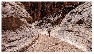 Seventyfive Mile Canyon |
 Seventyfive Mile Canyon |
 Heading towards Papago Beach |
 Great canyon views |
 Kathy on the Escalante Route |
 Cooling off at Hance Beach |
 Hance Beach at the mouth of Red Canyon |
 Geology at Hance Beach |
 Red Canyon campsite |
 Starting out on the New Hance Trail on Day 3 |
 Kathy on the New Hance Trail |
 New Hance Trail views |
 Blue flax |
 Goldenaster |
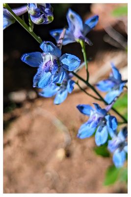 Larkspur |
 Finishing up the New Hance Trail |
| comment | share |