


|
|
|
|
|
|
| Steve, Katherine, and Norah | profile | all galleries >> Italy 2011: Exploring the Dolomites >> Day 7 - Tofana circuit day hike | tree view | thumbnails | slideshow |
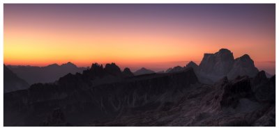
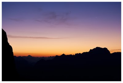 Purple sunrise |
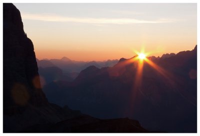 First sun rays |
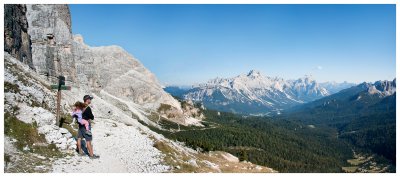
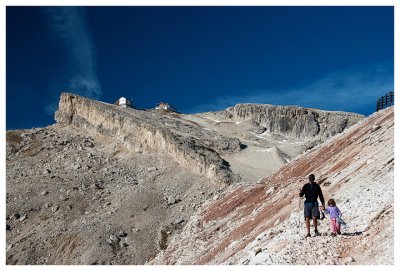 Steve and Norah with Lagazuoi in the background |
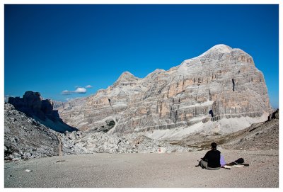
 Backside of Laguzuoi Grande and the Fanis group |
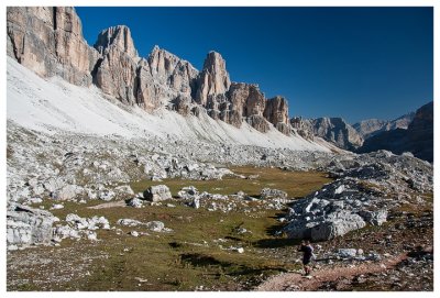 At the head of Val Travenanzes |
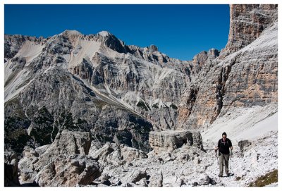 Kathy in Masar� with Sasso Cubico |
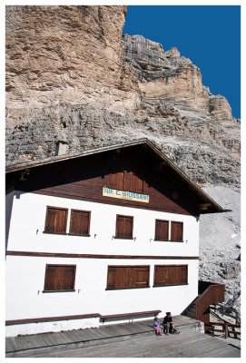 Rifugio Giussani |
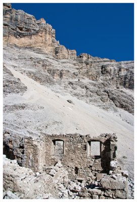 WWI ruins |
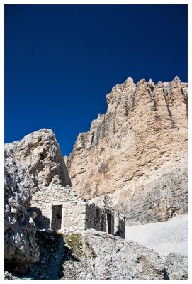 WWI ruins |
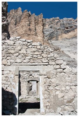 WWI ruins |
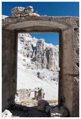 WWI ruins |
 WWI ruins |
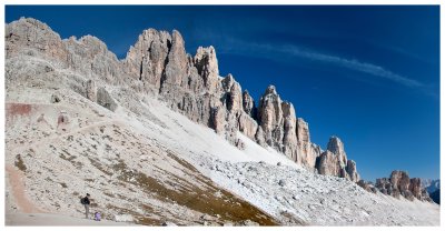
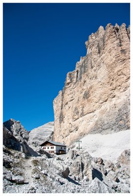 Tofana di Mezzo towers over Rifugio Giussani |
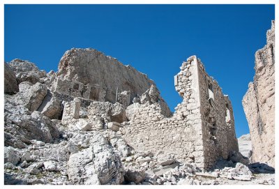
 WWI ruins |
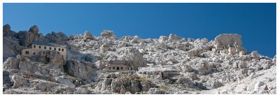 Panorama of WWI ruins and abandoned rifugios |
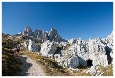
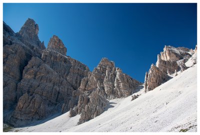 Rock needles and scree |
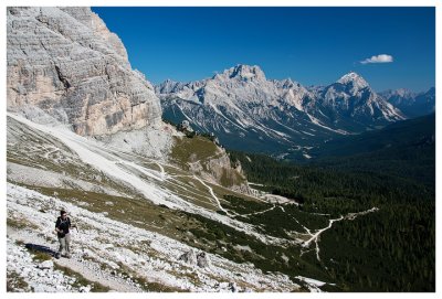 View into the Cortina basin |
 Steve and Norah with Sorapis in the distance |
 More WWI ruins |
 Taking a break at Forcella Travenanzes |
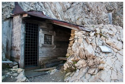 WWI officer's quarters |
 A sunset over Pelmo |
| comment | share |